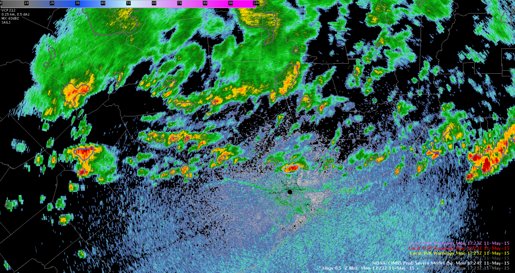
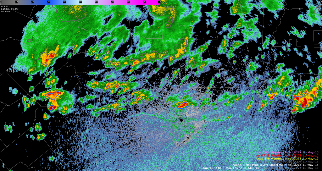
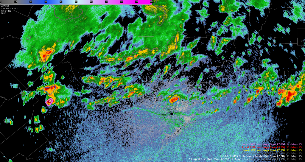
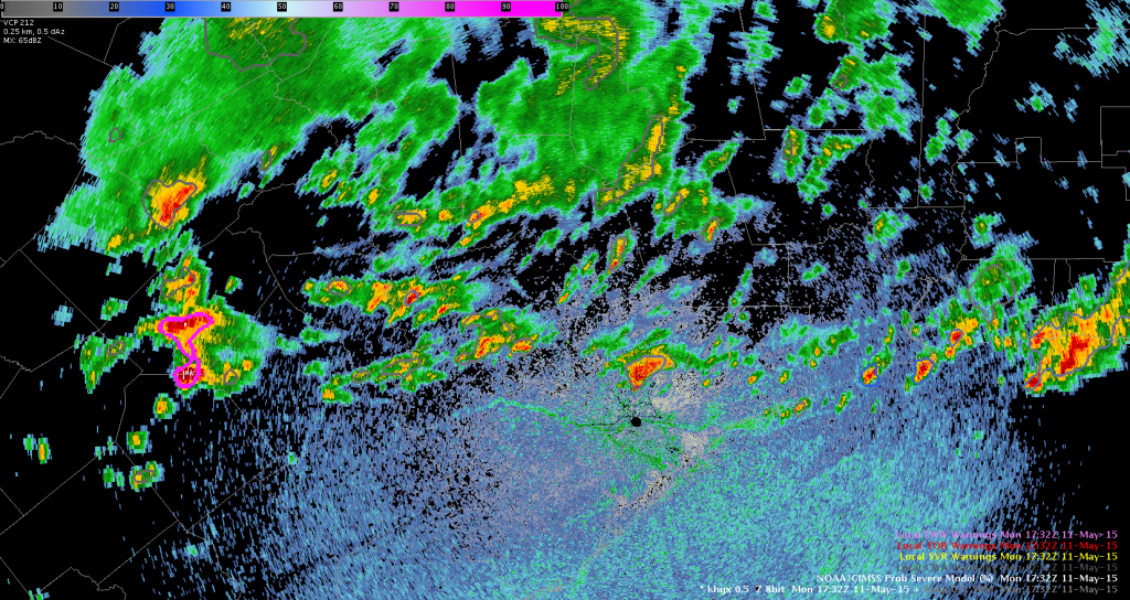
The NOAA/CIMSS ProbSevere Model is an excellent tool for situational awareness–especially in situations with widespread convection. The tool essentially allows for a quick all-tilts view without looking at all the radar tilts because it integrates data from the entire radar volume (and assimilates other non-radar data as well). For example, overlaying the tool on the lowest radar elevation (e.g., 0.5 degrees), you can monitor trends and areas of interest by the rate of change of the probability of severe. Rapidly increasing probability of severe gives the warning forecaster insight that the storm is rapidly intensifying aloft. At this point, a forecaster can do further interrogation on the storm of interest.
Here’s an example where there is widespread convection in southeast Texas:


 Note the probability of severe rapidly increases (10% to 86% in 8 minutes on one storm) across the western storms. This immediately signals to the warning forecaster that these storms need further interrogation and are the storms of interest.
Polarimetric Researcher
