EWP Status for 4 June – 12:30pm to 8:30pm Shift

0604_day2
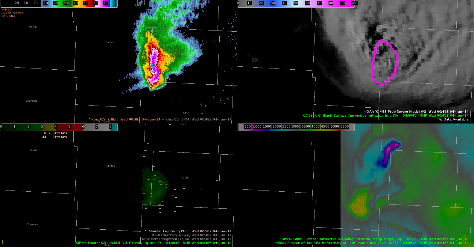
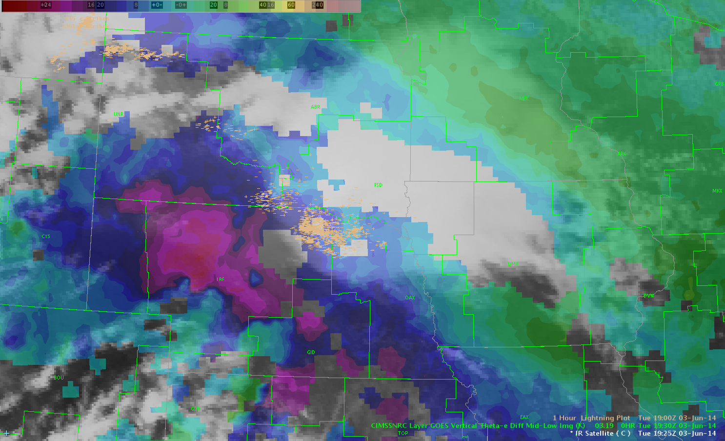
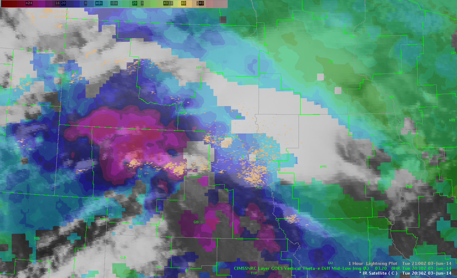
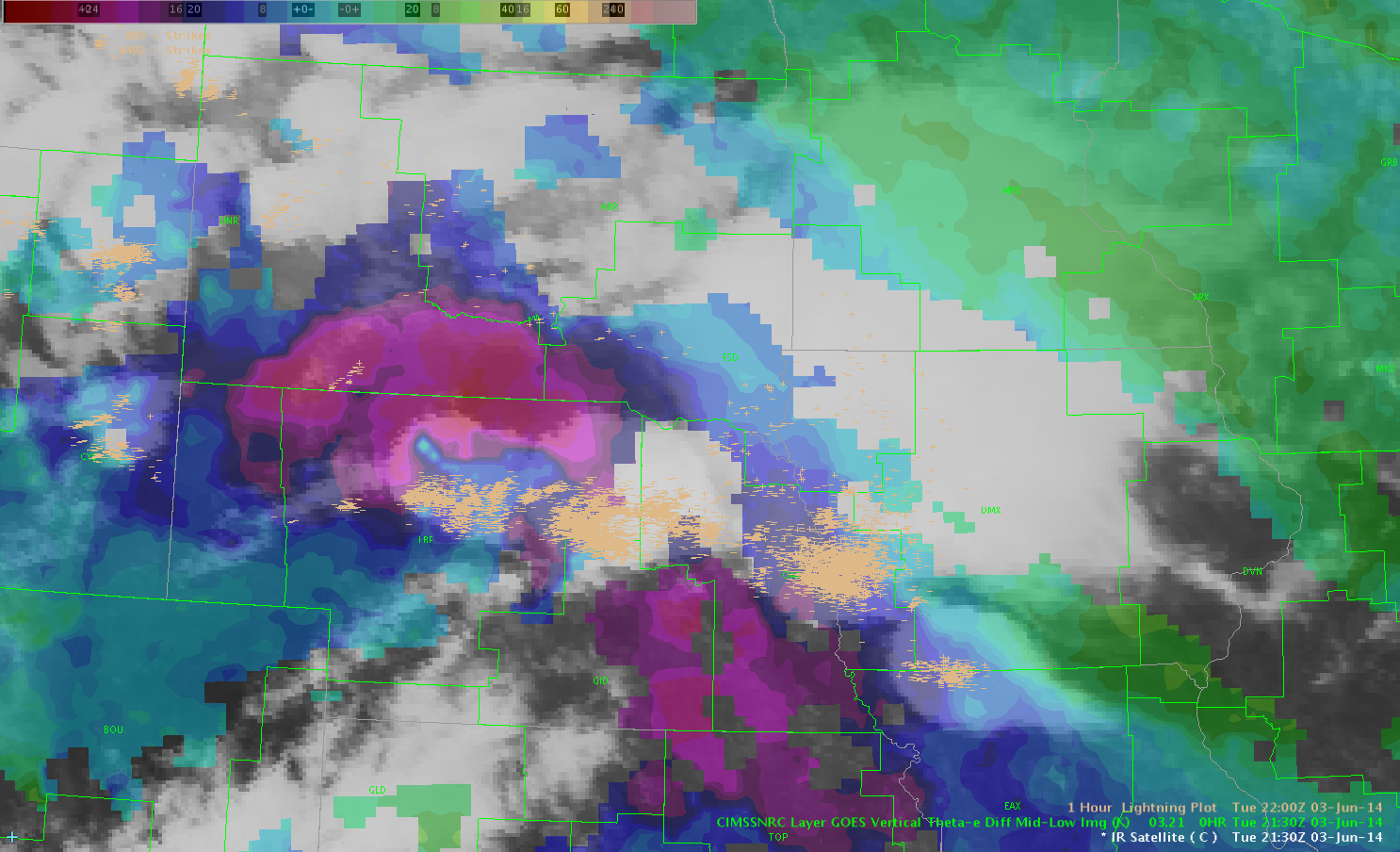
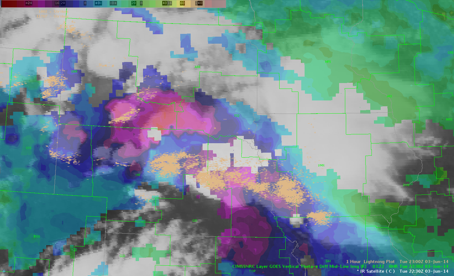
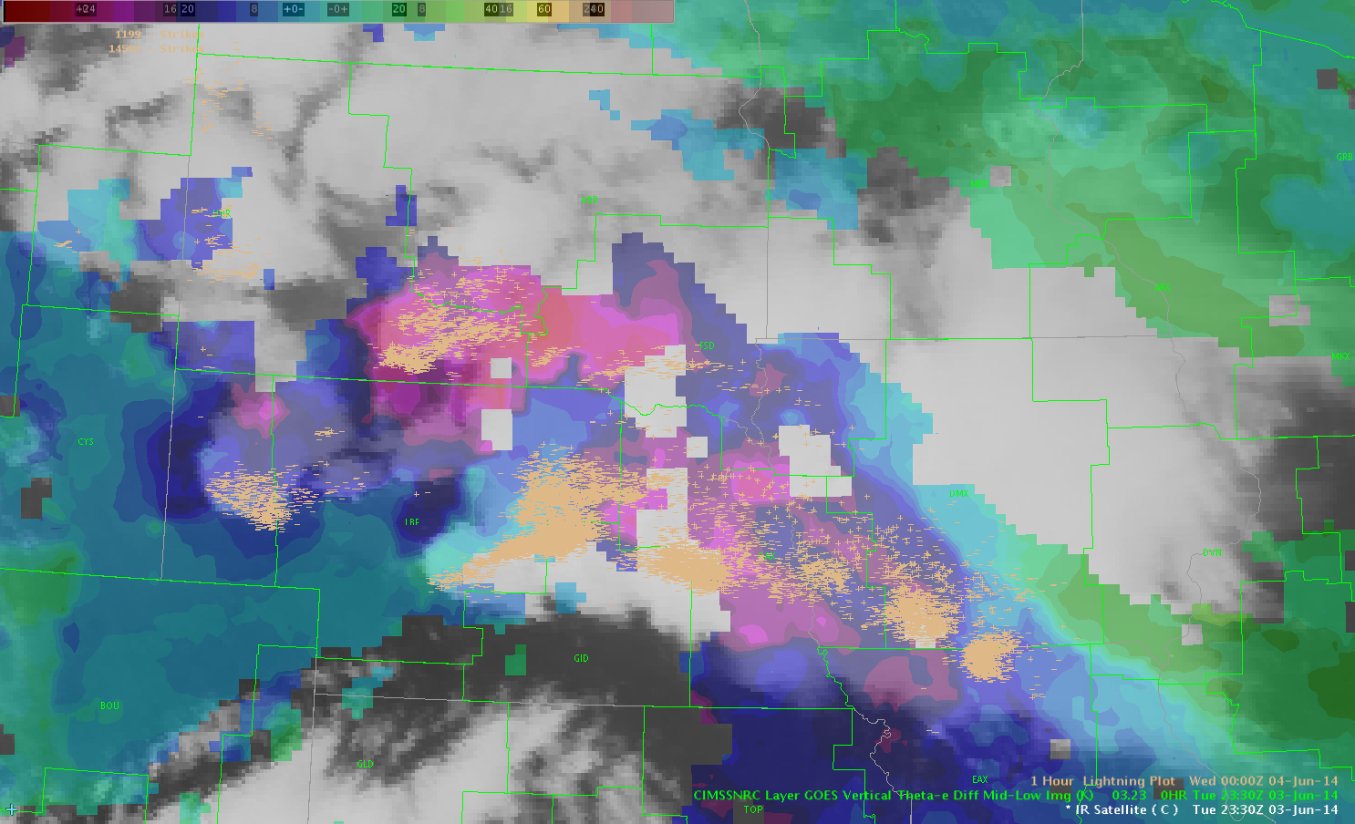
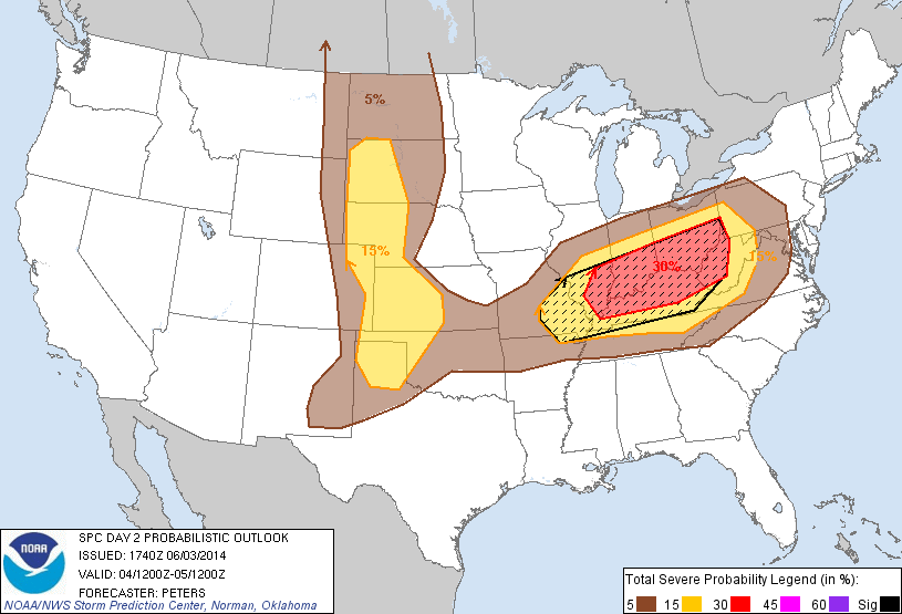
For Wednesday, the severe threat shifts eastward with the ongoing MCS in eastern Nebraska.  Seasonably-rich moisture will continue to advect northward into the Mississippi and Ohio valleys which – in combination with steep lapse rates – will yield strong instability.  However, given our need for a clean pre-convective environment (for our GOES-R products), we are not certain that we will operate in this area (the High Plains may provide a better opportunity).  Given the uncertainty regarding the greatest severe threat tomorrow, I will refrain from specifying any specific CWAs for operation.   Our shift will begin at 12:30 pm in the Development Lab.

– G. Garfield

Week 4 Coordinator

Tags: None

3 Body Scatter Spike 0058Z 4 June

3 body scatter spike on storm with very high prob severe and MRMS vil 3 grams/cubic M  OT Top detection also present. Confidence in severe is very high due to all of the above.

warned on storm near KBFFWe stopped warning in progress as 3 body spikes disappeared. but we should have gone with it earlier,

DSatterfield


Tags: None

prob severe trends helpful

probseverenohelpThe prob severe on this storm has only increased to 22% from 7% at this time. This is because of obscuring clouds. But, the trend of increasing MESH in conjunction with radar signatures convinced us to issue a SVR.

jca

Tags: None

no re-issue on a severe

canceledwarning2canceledwarning1We had a severe thunderstorm warning out for a large cell, but based on prob severe dropping from 97 to 44%, we allowed it to expire while TORs were issued for the front side of the same storm. It looks like the energy focused to the front side of the line where TORs looked more likely.

jca

Tags: None

0012Z 4 June: 1KM Vis and OT detection


1km vis and OT detection.
An example of the display on awips 2 showing mature supercells and the OT detect. With no visible imagery at night this would be an exc. discriminator of severe cells. Prob Severe on all of the storms with OT detect was over 90%, The VLAPS Cape was useful in analyzing the environment of the far western storm (It was at the edge of the domain) which is in a small area of high instability but surrounded by much more unfavorable environment.
D Satterfield


1KM VIS

Tags: None

North Platte Hail – 2238 UTC

Got a report of golf ball sized hail 8 South of North Platte at 2238Z.  At this time, ProbSevere was low – about 40% and did not encompass LBF at all (see image).  MESH at this time was also low – 0.56.”  The hail core was fairly small – and maybe the report is suspect??  It was from a trained spotter.  Possible example of ProbSevere being underforecast.ProbSevere

Tags: None

2305Z Cell near KLBF.

Cell near KLBF had rapidly rising prob of SEVERE (during the time of the spotter report, but MESH below one inch. Trained spotter report of golf ball hail at 2238. Have serious doubt (based on past experience over many years!)about spotter report based on storm core and satellite presentation/MRMS VIL etc.north platte 2300

DSatterfield 2315Z 3 June

Tags: None

prob severe to warning

probseveretowarningThis storm in the NW corner of the picture has a prob severe of 97% with the probabilities 95% or above for more than 15 min. The MESH has consistently been 15 inches or larger. We are getting ready to issue a SVR based on this info and the fact that North Platte WFO has a warning on the storm.

jca

Tags: None