
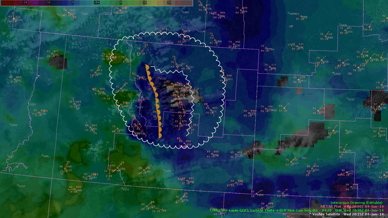
 This image shows the convection trying to get going in an area along a dewpoint gradient, denoted by the dryline symbol, and in the vicinity of the nearcast gradient in theta-e difference. This is the area we were focusing on based on both the nearcast forecast and the simulated IR imagery from earlier. Expect this to continue to be a favored area…with a potential shift eastward throughout the afternoon.
-KP
-D. Satterfield