

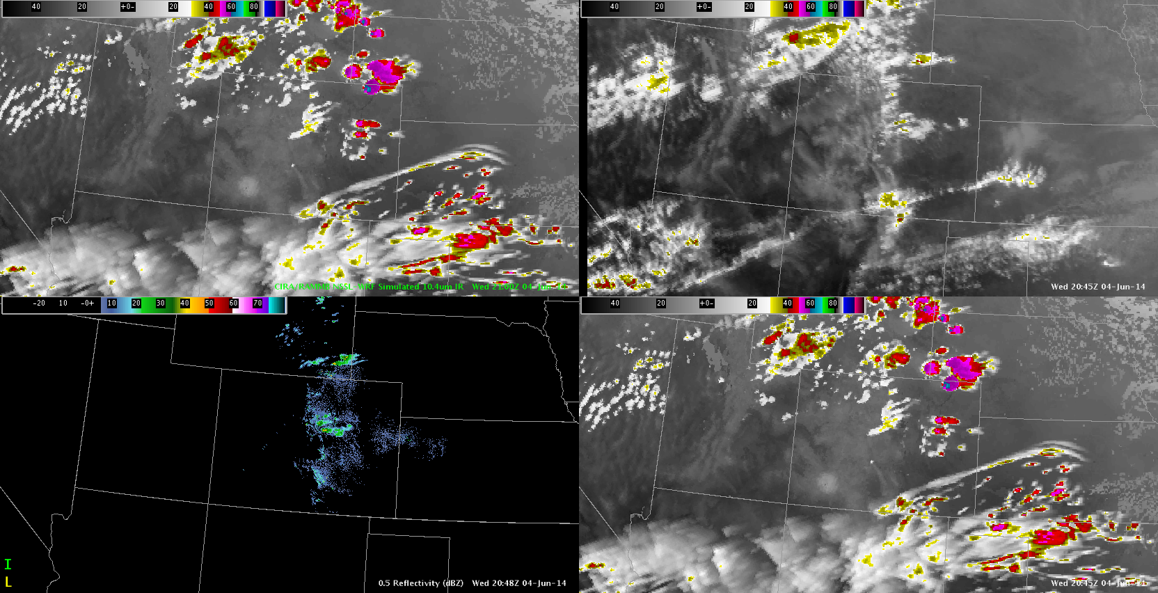
Evaluating the NSSL WRF sim sate with IR window and Radar over Colorado. While NSSL WRF is as usual overly robust, the model did show a cloud boundary over SE Colorado that is very present in GOES IR. This boundary is transverse to a theta E diff Boundary and up-slope flow. We expected some convection here (out of our CWA today) and there is some development along the NM/CO border. The NSSL WRF also shows the convection (albeit weak) east of KPUB that we are monitoring. I continue to believe the synthetic NSSL WRF imagery to be very valuable in not only evaluating model performance but as an important tool in locating areas of concern.
 D Satterfield
KP