Developing thunderstorms lose CI designation fairly quick

Thunderstorms developing north and east of Abiline lose their CI fairly quick. 22:00Z – storm just east northeast of Abiline has 60-70% CI.

CIexample1

2230Z – Storm ENE of Abiline looses its color tag. Next developing storm just north of Abiline showing 20-40% CI.

CIexample2

23:00Z – Now both storms no longer have color tags.

CIexample3

23:45Z – A new cell goes up between and just to the north of the 2 original storms – and does not receive a color tag.

CIexample4

Scott Rudge.

Tags: None

a cool radar image…

It’s the evil “inverted bow echo”.  Actually a storm splitting just north of CYS 23:48Z


Update 00:30Z  looking at total lightning along this storm…the following image represents total ltg. at the time of the above image.  Lightning dropped off quickly shortly after…at the same time the storm weakened as it went through a split/reorganization.  By 00:15 ltg had picked back up as the storm reorganized.  Storm as strong as it has been at 00:30 (74% on ProbSevere, 1.10″ MRMS MESH) but lightning as not picked back up to its previous high levels before the previous split…

Tags: None

CYS development

Shortly before 2300Z, development of t-storms took place just E of CYS.  A few CGs, intensifying, and moving NE.  Instability remains marginal in this area…higher to the north…and in western NE where the atmosphere has heated up after losing an earlier cirrus deck.  Will closely monitor available tools as this storm crosses the area.


Update:  strong, not svr, storm continues now just NW CYS at 23:40Z.  Has shown slight weakening.  ProbSevere has matched that pretty well…down to 57% from a high of 66%.  Maximum MRMS MESH was near 1″ at 66%, down to .88″ at 57%. db

Tags: None

Nearcast…Texas Convection

6May14 22z Theta-e Diff6May14 2244z Radar TX

Convective initiation has once again lined up pretty well with the instability depicted on the theta-e difference graphic in the nearcast. I have now seen this in a couple of cases. The nearcast forecast brings some instability north into Oklahoma later this evening. It will be interesting to see how this lines up with the convection at that time, as the HRRR model has shown some decent development across portions of North Central Texas and Southwestern Oklahoma.

Jared Maples

Tags: None

Finally, SE WY?

2200Z…KCYS showing a few showers developing.  Vis satellite shows these cells developing just out ahead of a deck of cirrus to the west.  Instability seems marginal, at best, in this area based on Nearcast analysis.  Northern cells are closer to better instability.

Meanwhile, earlier strong storms moving NE out of central WY held some strength likely at just sub-severe levels…and have weakened further.  Will monitor as these cells again are in the area of greater instability.

Tags: None

Thunderstorms Possible Late

Very dry air in the low and mid levels has been hard to overcome early this afternoon. Cumulus development and shower activity has been elevated, resulting in virga. Moisture will try to make a return late this evening, along with some instability. A short wave will round the main trough later, as well. Storm initiation will be concentrated in North Central Texas and Southwest Oklahoma mainly after 5 p.m. Upper level westerly winds of 50-55 knots move in with lower level south-southwesterly winds of around 30 knots may be conducive for some discrete cells to development. Though conditions are marginal, storms may briefly become strong before running into drier, more stable air later in the evening.

5May 2245z HRRR Ref

Jared Maples

Tags: None

Quiet until later…maybe

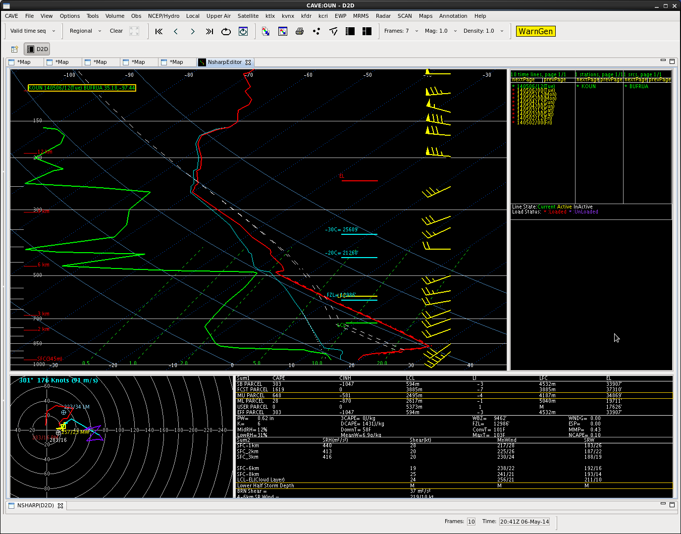
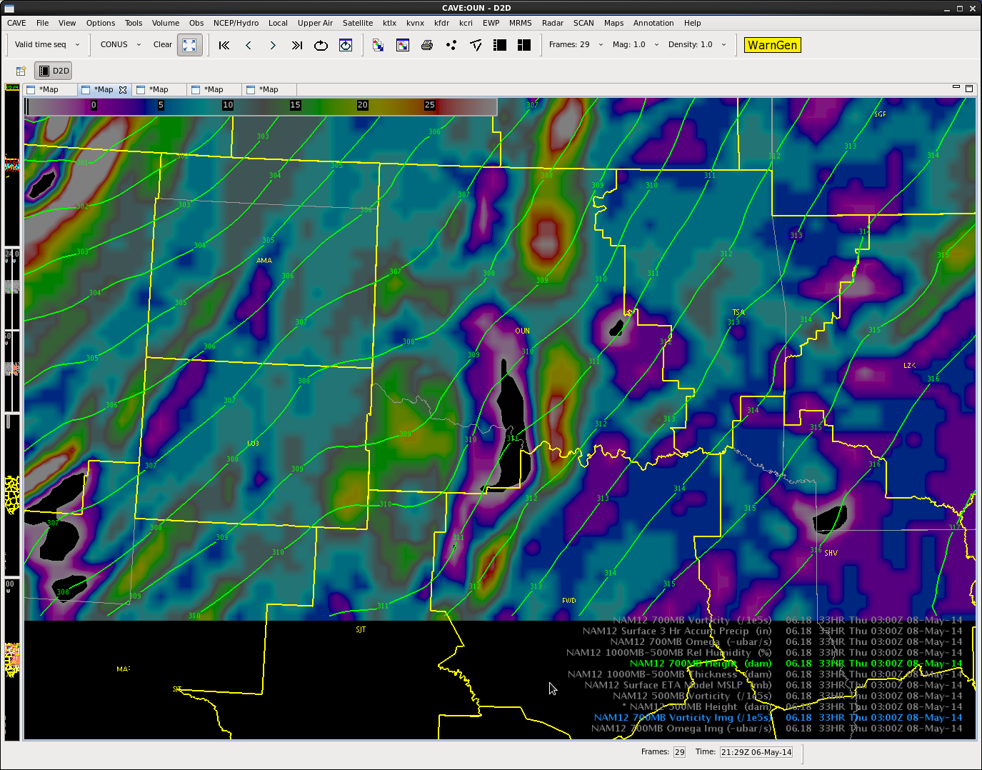
Upper level analysis has large ridge over the central CONUS with trof digging into the Southwest. Skies are partly cloudy with mid level cumulus streaming across the area. At the surface…above average temps are in place with dryline nearly bisecting the CWA. Dewpoints are in the 60s across eastern portions of the forecast area…with dewpoints in the teens and 20s in far northwest OK. Moisture across the eastern zones is very shallow, as indicated by OUN sounding.

Sounding1

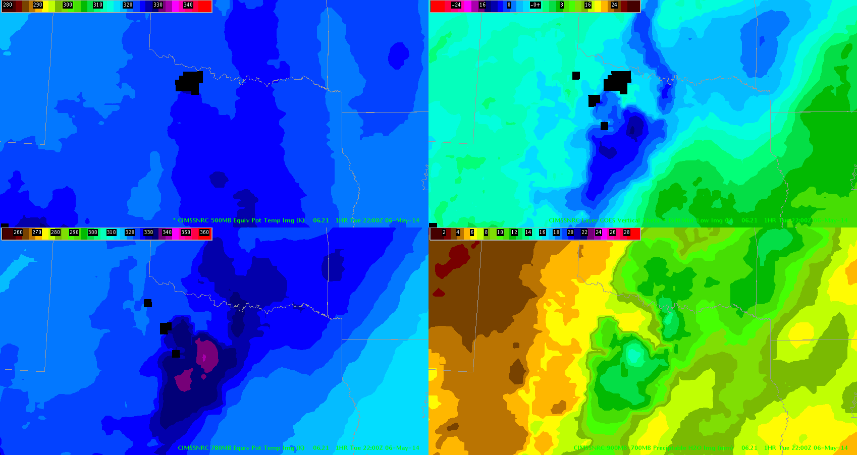
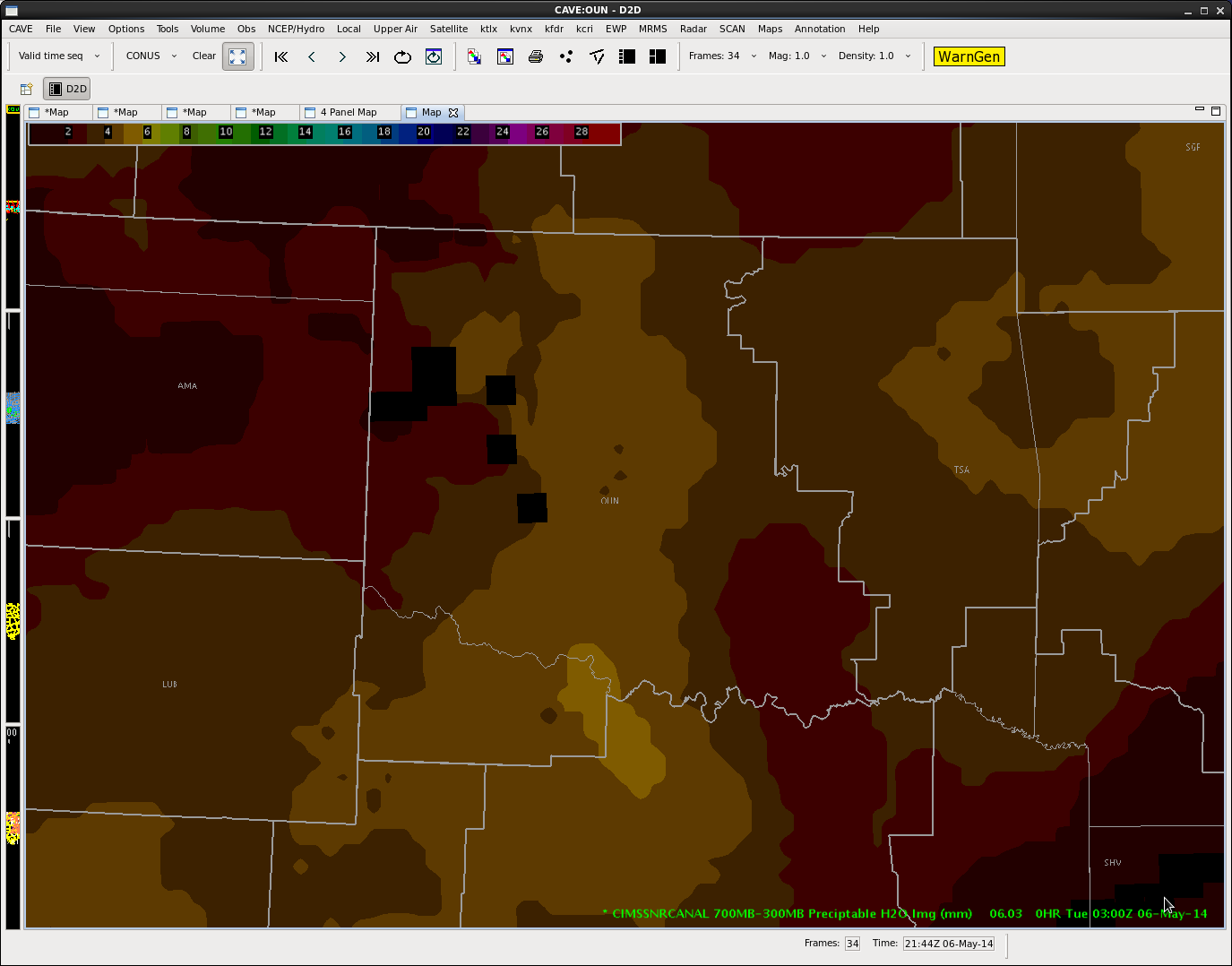
Southerly boundary layer flow will continue to transport moisture into the area. Nearcast Low level Theta E increases across the area around 00z with cap weakening a bit across far southwest portions of the CWA.

LowThetaE

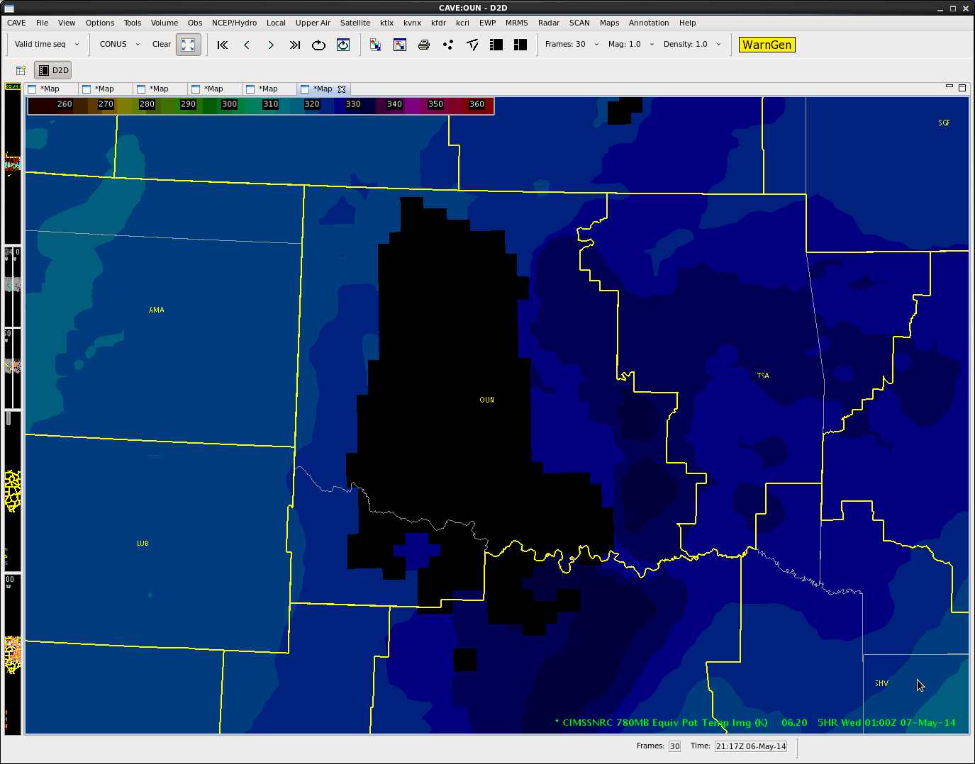
In addition…Nearcast mid level Water Vapor increases across southern portions of the area after 00Z will help to weaken the cap.

MidWV

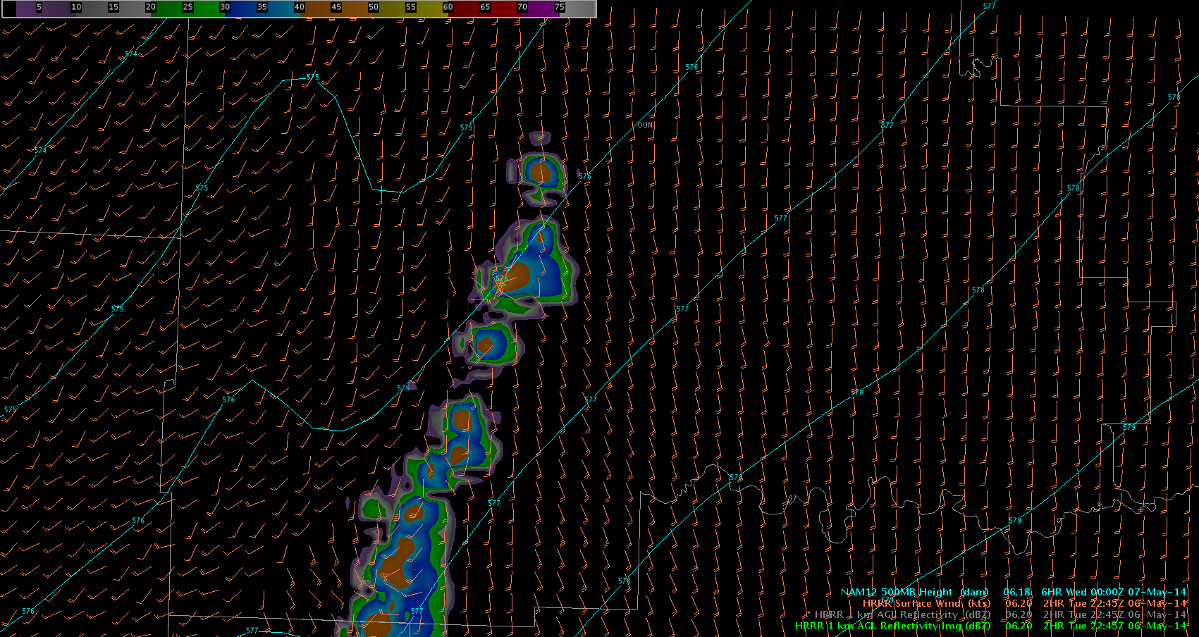
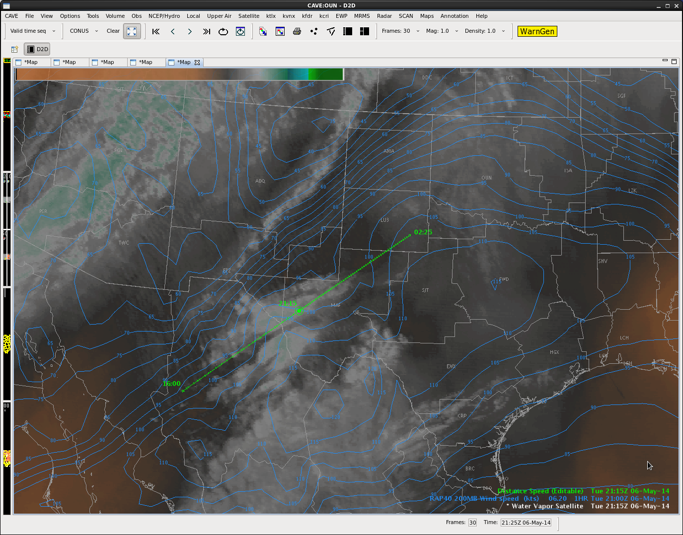
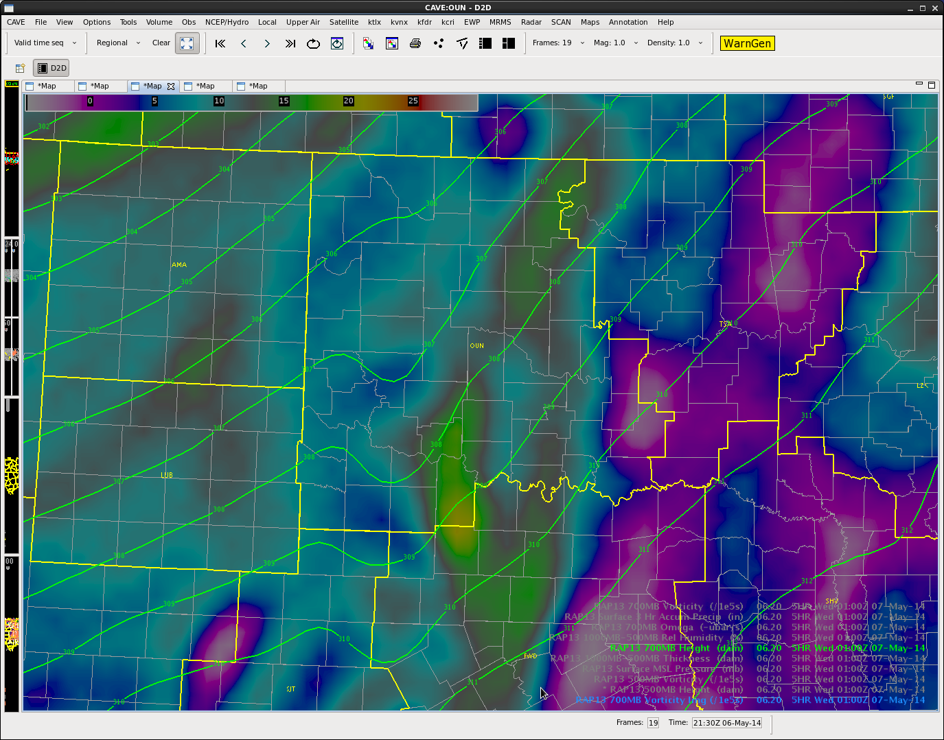
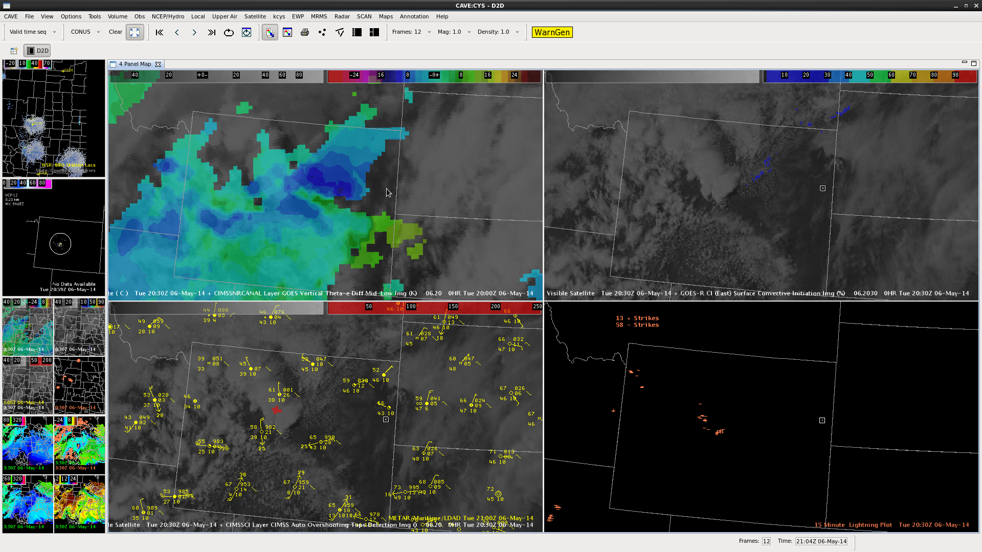
Water vapor imagery depicting weak shortwave moving into western Texas…moving northeast at 45 knots. This shortwave will enter the far southwest corner of the CWA between 2Z and 3Z. With a weak cap still in place…surface based convection is not expected…but elevated convection will be possible. WV

Both RAP and NAM also showing this weak shortwave at 500mb and 700mb over southwestern areas by mid evening.

Screenshot-CAVE:OUN - D2DRAP700mb

So 55 dBz will be possible across the far southwest OUN CWA before 3Z.

Scott Rudge.

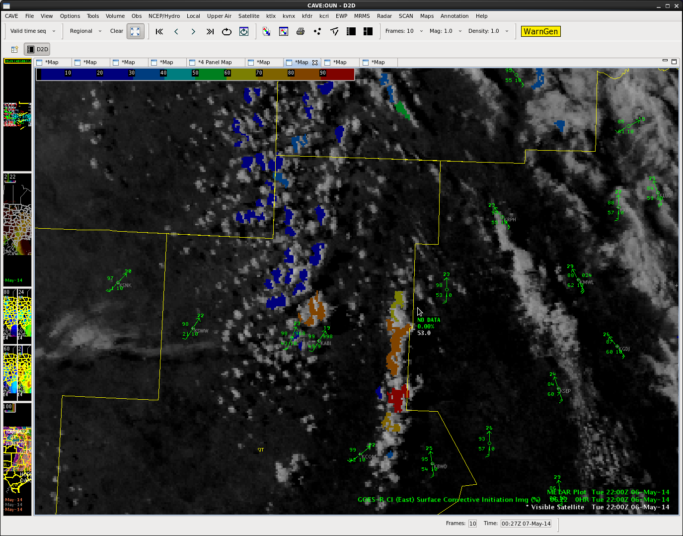
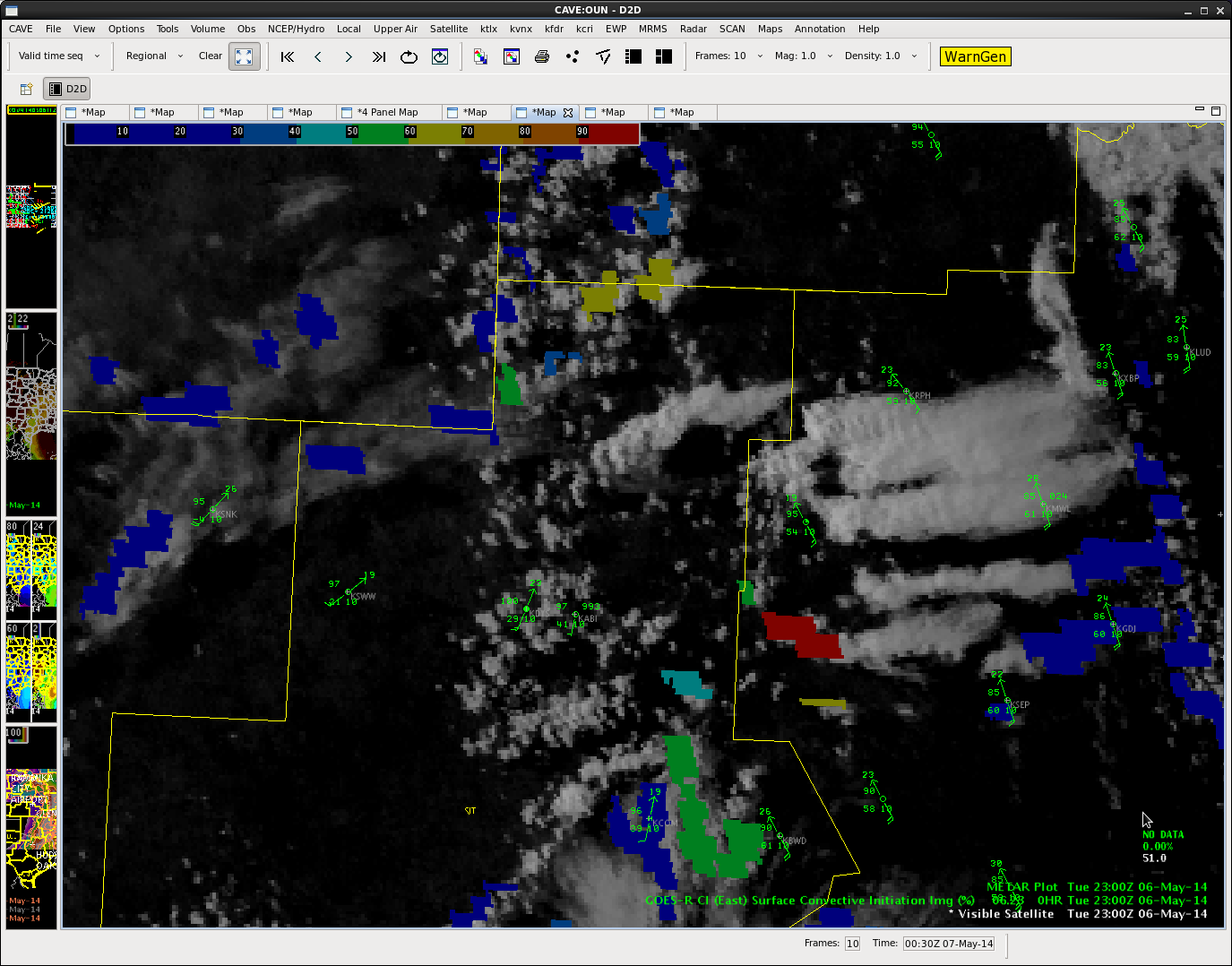
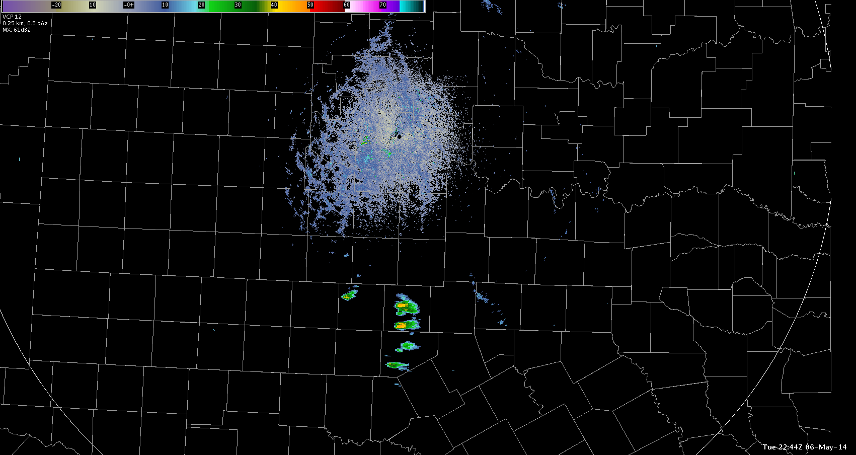
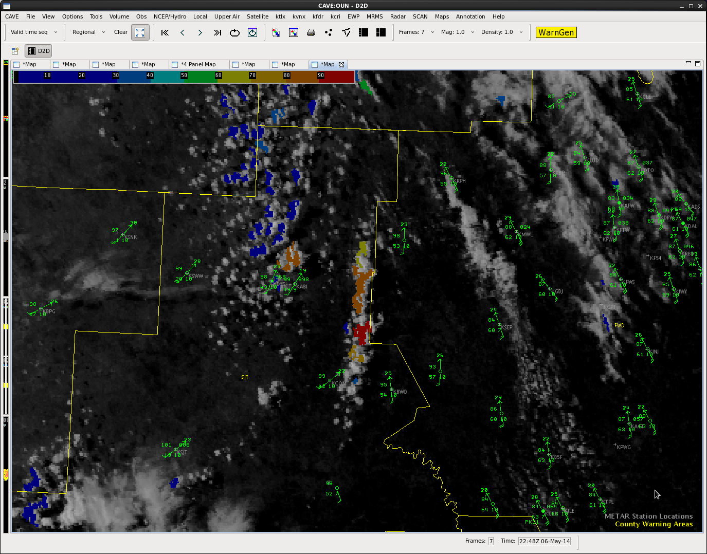
Update 23Z…Convection firing in Abiline’s area.

Convection has initiated just ahead of the dryline just east of Abiline, TX. Convective Initiation probs show high probability of severe wx, but upper level jet has proceeded to shear the tops off of these storms within a matter of 30 minutes.

ABIconvect1

ABIconvect2

Scott Rudge.

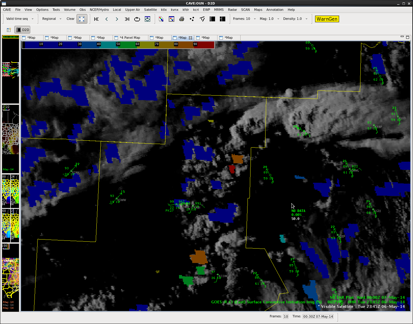
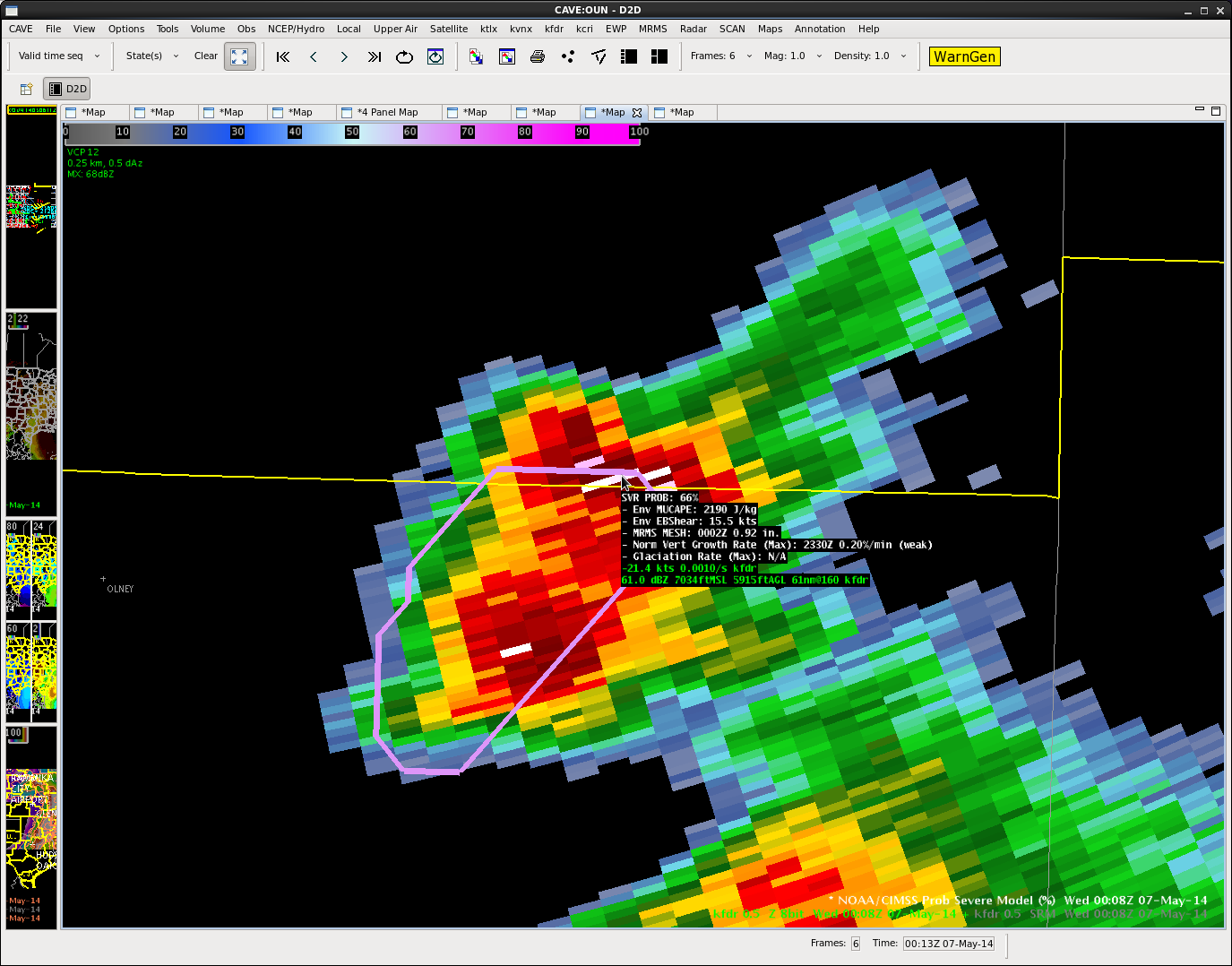
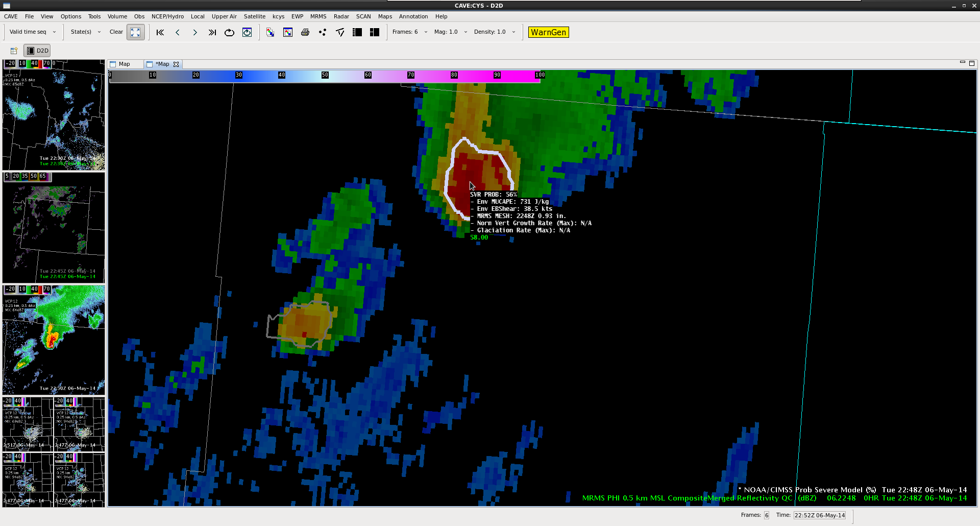
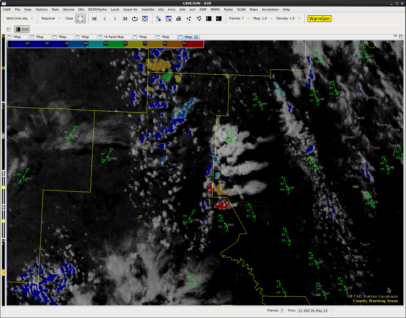
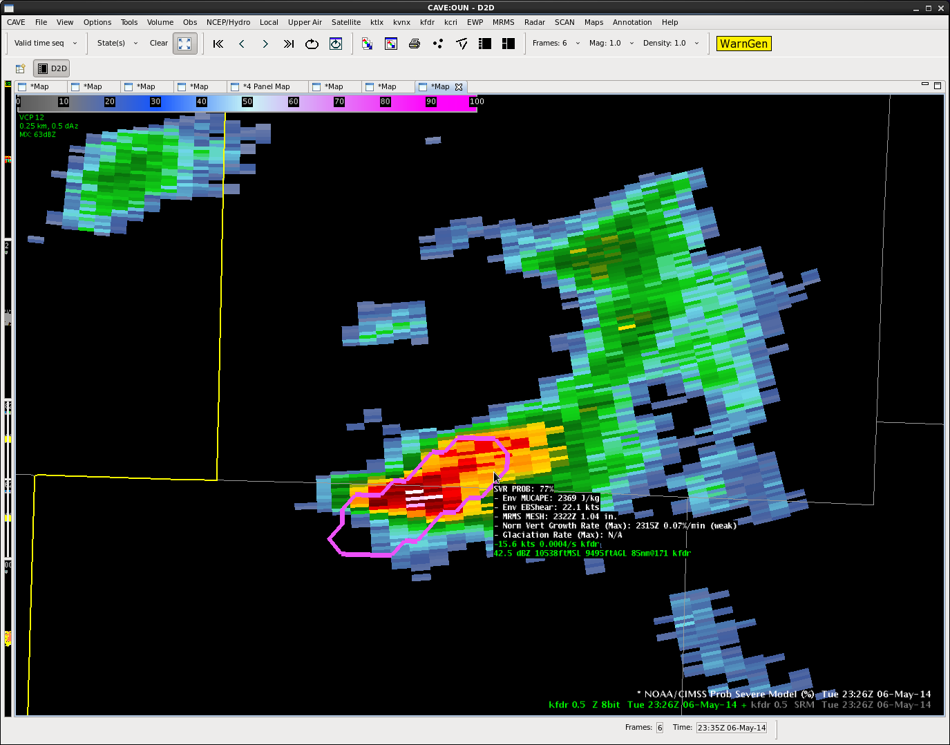
Update 2330Z…60+ dBz just south of the OUN CWA.

A storm that formed along a boundary just ahead of the dryline is showing some promise. Prob severe increased to 77% before levelling off – with estimated hail size around an inch.

Prob

Scott Rudge.

Tags: None

riverton

Isolated severe storms near NE of Riverton, at least identified by Prob severe model, continue to weaken this afternoon.  Strongest cell is between Lost Cabin and Hiland.  Latest GOES vertical theta-e diff indicates better instability over northeast Wyoming.  A few light returns are increasing across southeast WY and several ensembles members develop convection across this region around 23z.  CI product not very useful at this time in SE WY.

BT