

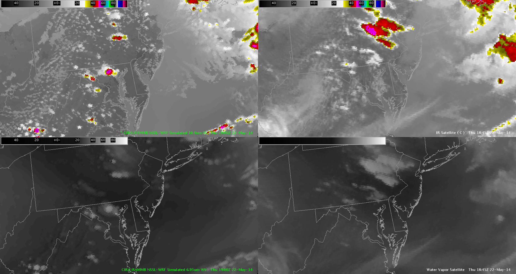
I was analyzing the NSSL-WRF simulated satellite versus the actual IR satellite and as you can see it is missing the cirrus cloud deck over the VA peninsula and eastern VA. It also is missing the cirrus cloud deck over eastern West VA which may hamper or at least slow convection start today.
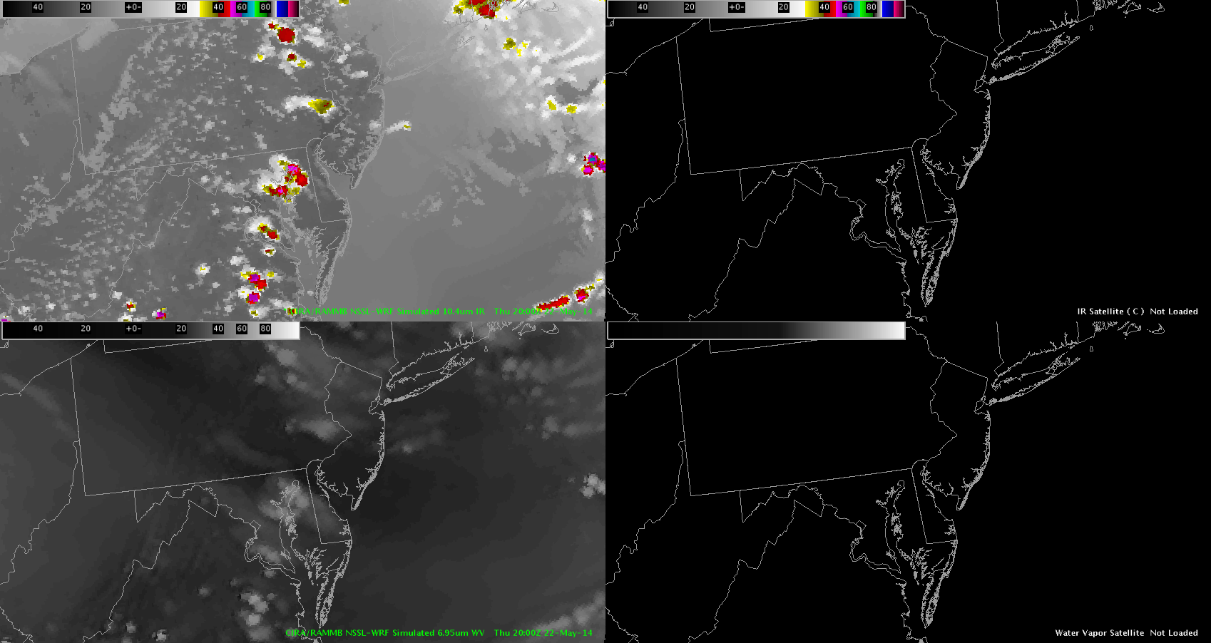
In one hour it is trying to already form storms over parts that are covered by the cirrus blanket so I wonder if this won’t happen since it hasn’t accounted for it. We shall see. ~ Vollmar