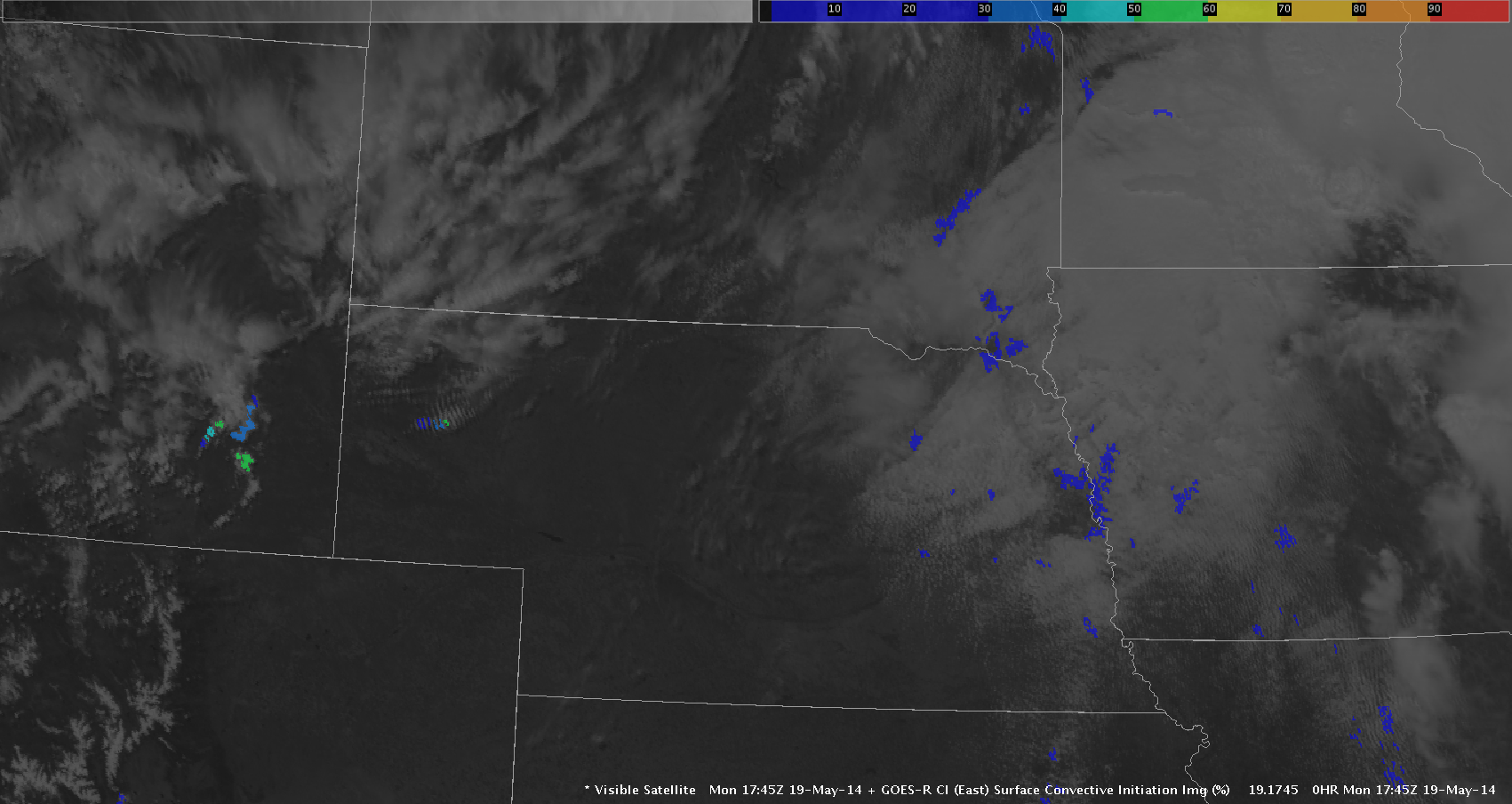
Good afternoon all. Grant H. signing on for the first blog post of the first day of the HWT. In learning about the GOES Convective Initiation (CI) tool, I felt this might be a good first place to start. CI seems to be the most useful in hunting down areas where convection will begin over the first 2 hours of and event. I can see this being good from the warning coordinator/mesoscale forecaster perspective in making decisions on where/how to divide up/sectorize radar mets in ops. The stuff off to the left over eastern Nebraska in blue has a very low probability of initiation around 10 to 20 percent. Meanwhile, the cumulus field over the southeastern Wyoming in the Cheyenne area is reaching up to 50%. This helps to force focus to the locations of interest. I do see some problems here in that the algorithm has troubles IDing areas that transition from stratus to cumulus or from cirrus with cumulus embedded underneath such as in northwestern Nebraska… very little CI color is showing up, other than the sheared area in this image.
Grant H.


