

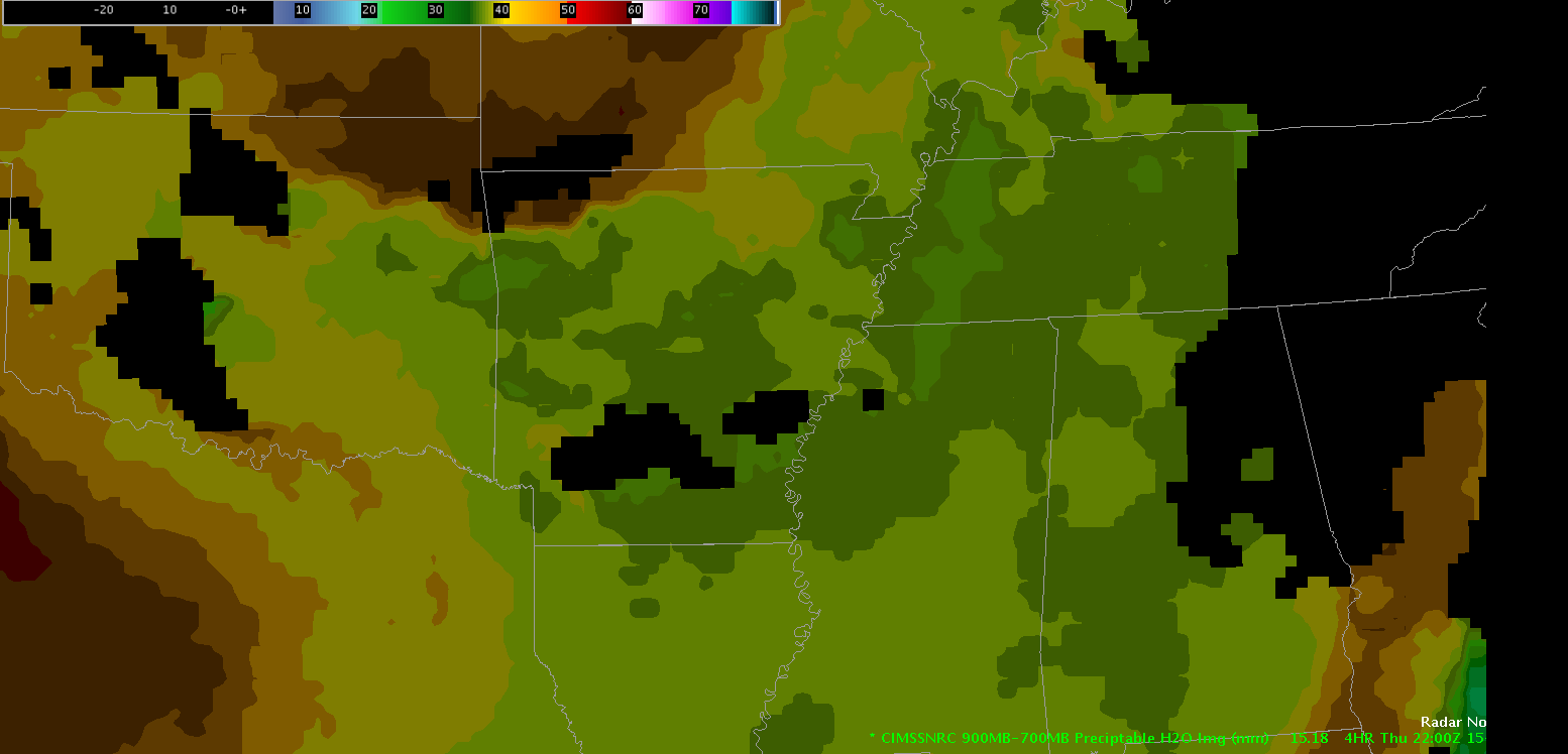
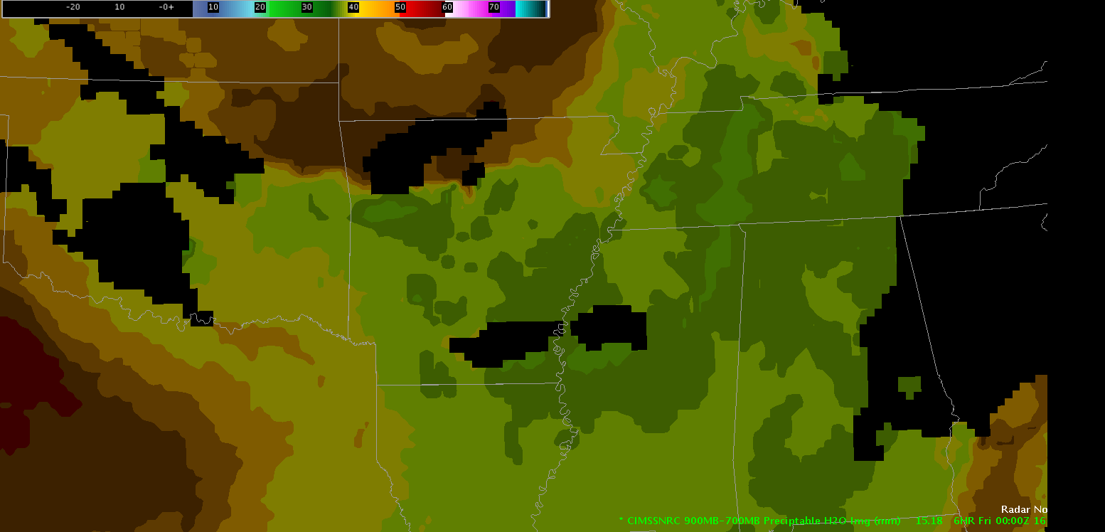
The CIMSS NearCast 900-700mb Precipitable Water product depicted a maximum of values 7 to 9 mm at 19 UTC on May 15 in southwest Arkansas (top image). The next two images of this variable depicted at 22 UTC and 24 UTC have this minimum area moving east southeast into southeast Arkansas around 22 UTC then northwest Mississippi by 24 UTC. I wonder if storm development will follow this minimum area for the next few hours. If so, the NearCast forecast tool would be especially useful in near term forecasting (1-6 hr) and can give forecasters a heads up where and when convection occurs.
This post is very similar to the ThetaE difference post.
 Michael Scotten