

LAPS has finally caught up a bit. Seems to be struggling a little with the line of storms crossing the IA/NE border. Here’s LAPS forecast 1930Z column max reflectivity
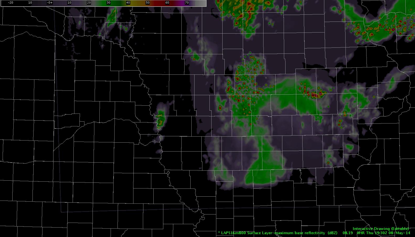
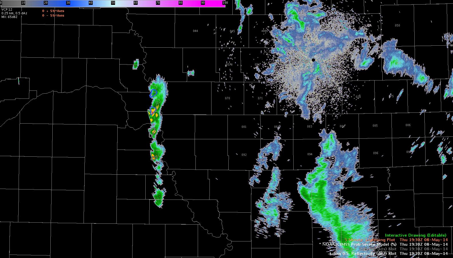
Here’s DMX-88D from 19:30. Notice model underestimation of developing line.
Jump ahead to 2030Z. LAPS had that initial cell move no the NE and dissipate completely, then rapid redevelopment of convection between 20:15 and 20:30Z near the IA/NE border again.
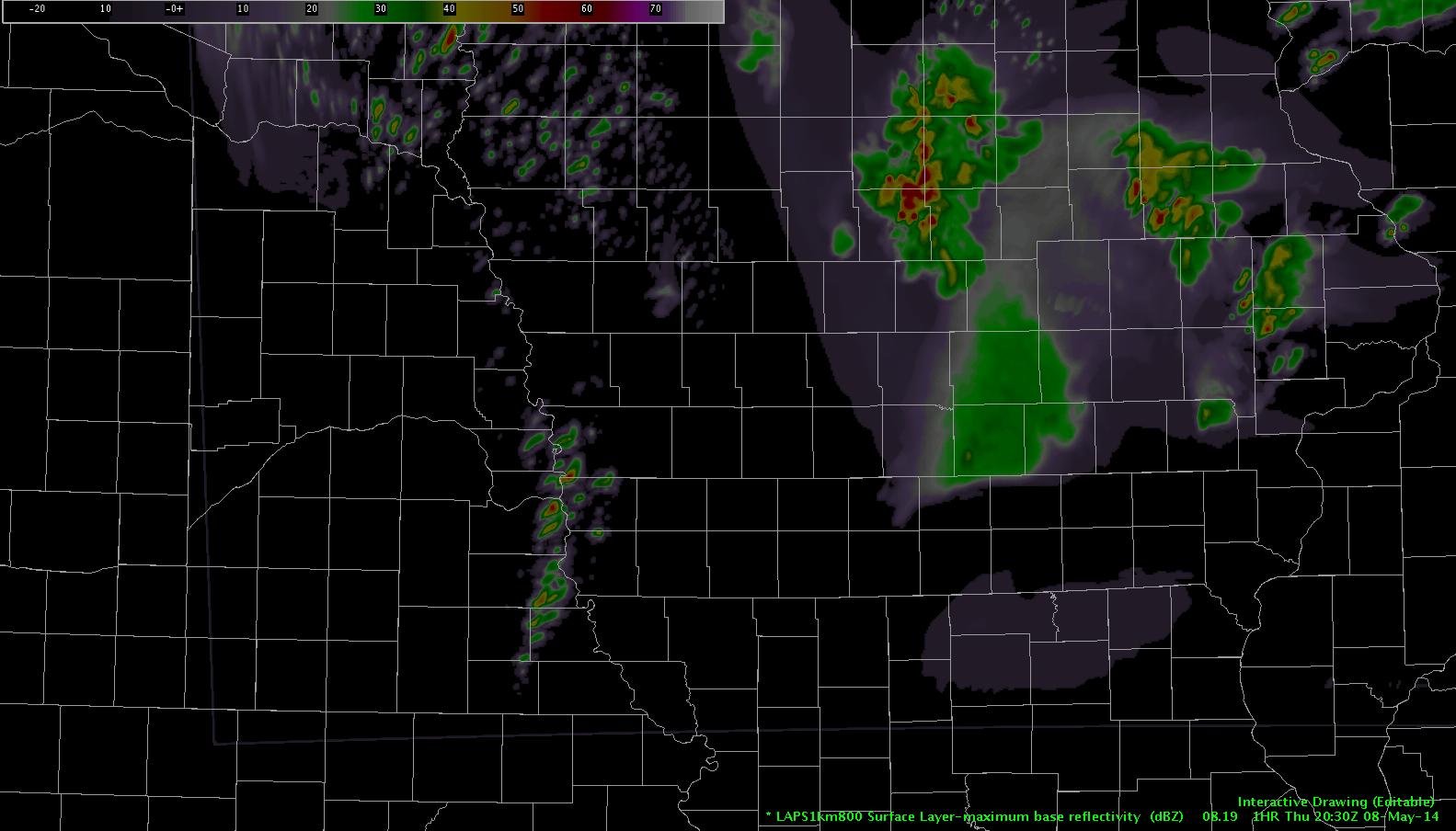
That initial line of convection never quit, though…and by 20:27Z a much stouter line of convection was continuing and farther east than what LAPS has indicated.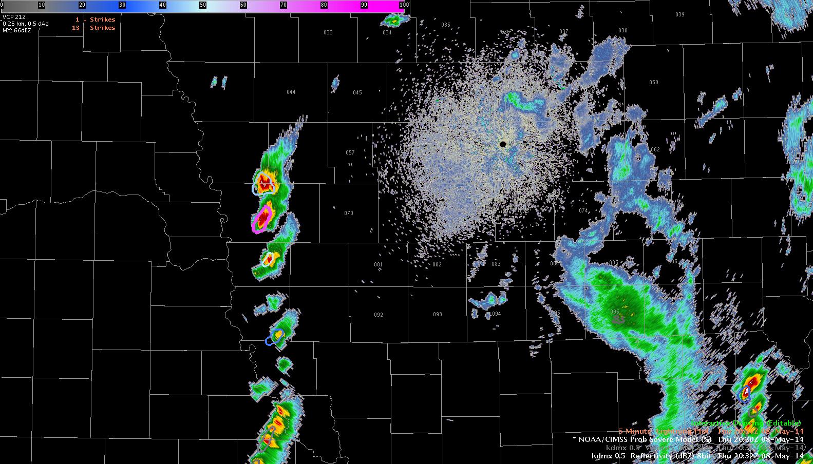
What remains to be seen…here’s the LAPS forecast valid 2200Z. Line of convection continues…what seems odd is the east/west line of something that develops near the IA/MO border and is moving northeast. Also of note…an east/west, wave-like formation in the CAPE forecast that drifts in from the south. Anomalous CAPE ridges spurring on a convective response in the model? Is this a model issue near the domain edge or is there a process that the model is trying to pick up on? someone remind me to check at 22Z! db
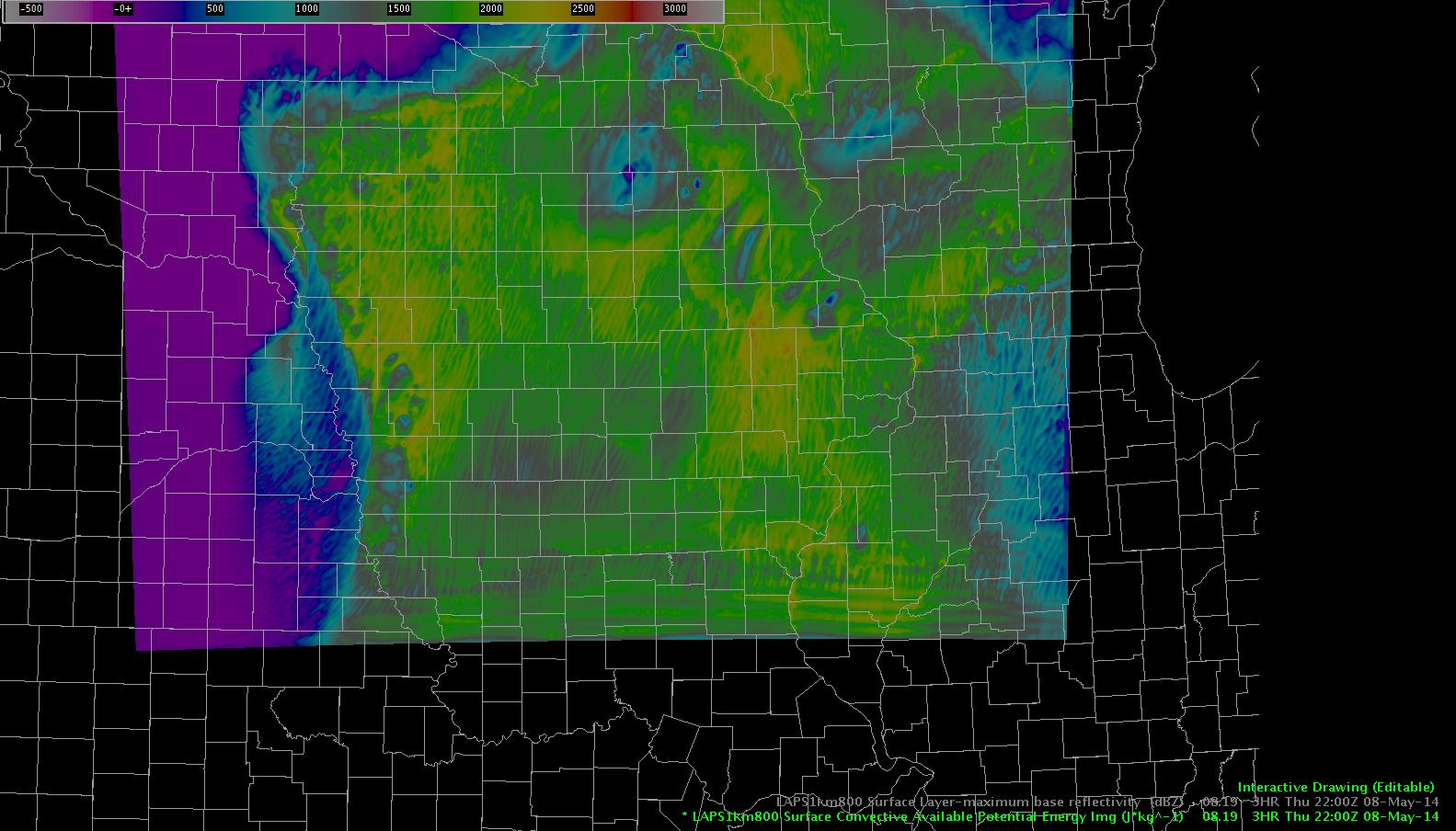
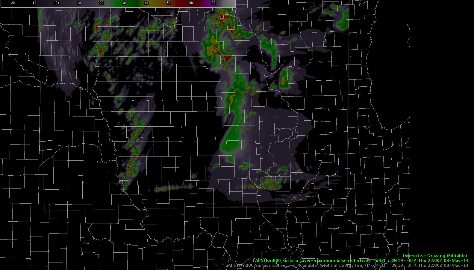
Update: it’s a boundary condition issue.