

Been watching an area of showers across central Virginia…located north and east of a cold front.
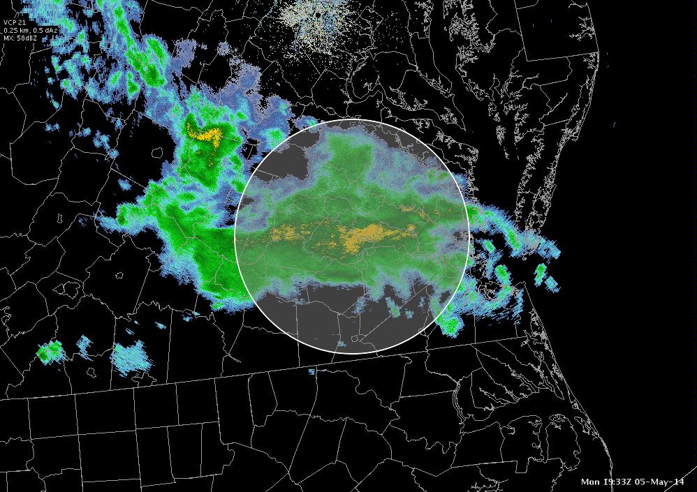
Typically would not expect to see vigorous convective development in the relatively stable air here. The NOAA/CIMSS ProbSevere Model agrees….it’s been outlining some cells, but typically have not seen anything higher than a 10% severe probability.
Of some interest is the GOES-R CI model, which for a time pegged a 60% chance for some more cell development to the south and west of the current area of precipitation in southwest VA. Surface analysis shows this area to be much closer to a surface boundary separating 80s from 60s.
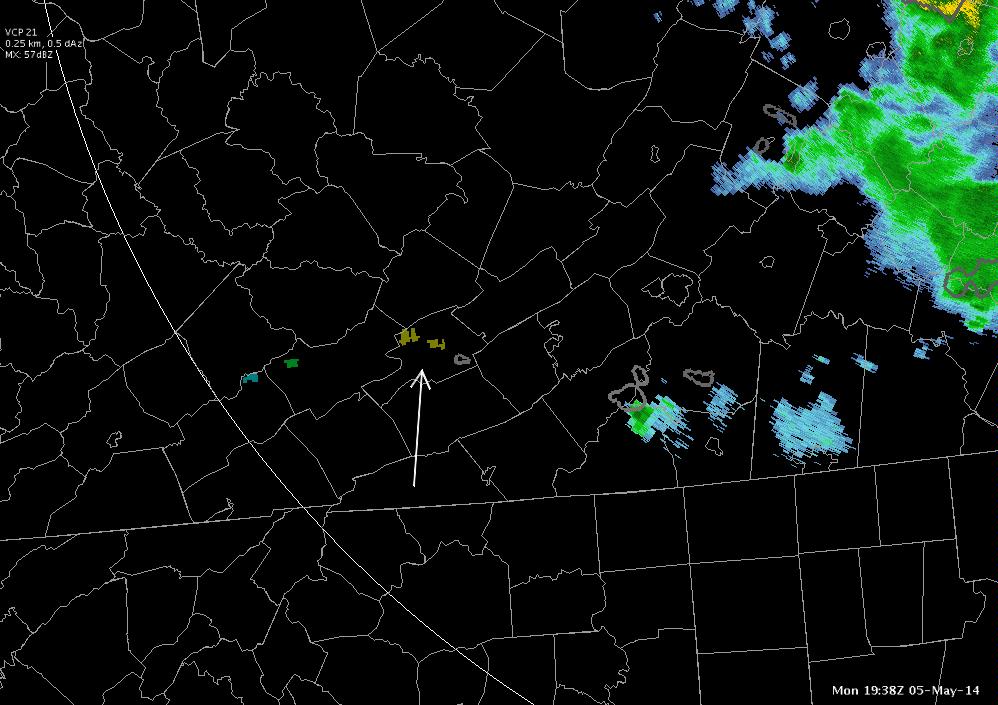
Some further monitoring of the CI has seen the value dip back into the 40% range within about 15 minutes time. Will be interesting to see if this parameter continues to move some over the next hour or so…or if any development actually occurs.
UPDATE
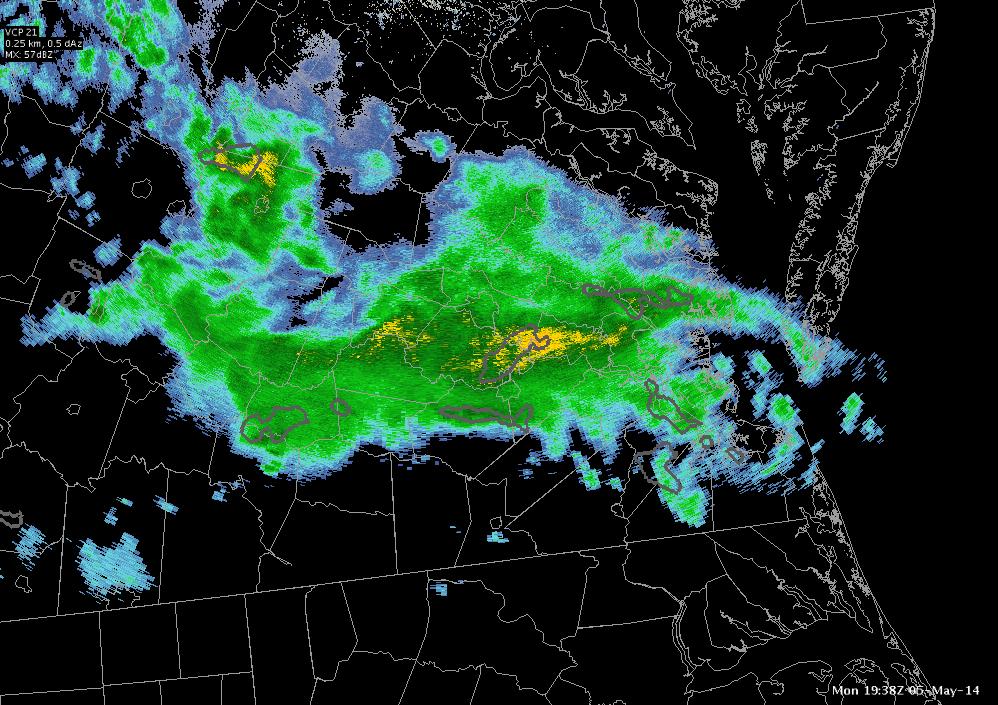
Convection developed within the hour…with high severe probs!
Also to be noted after the fact: the forecast theta-e difference between 500 and 780 mb leading into the convection showed a nice and persistent…although not overwhelming in magnitude (-6 at worst)…piece of instability rolling into SW VA.
So far, the forecast tools have done a good job in pointing to an area…even if it was marginally outlooked this morning…of an area of vigorous convection that did develop.