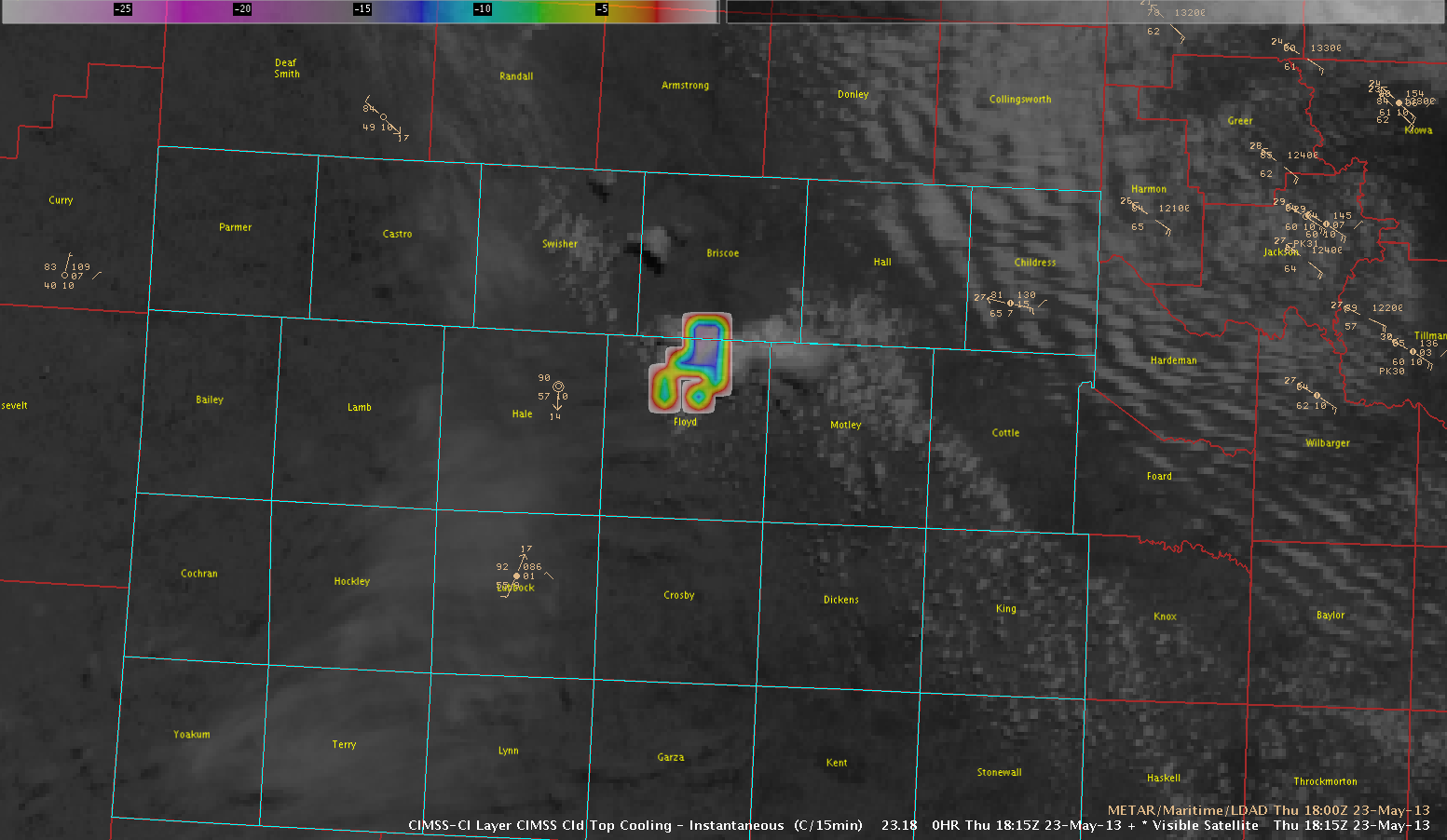
Strong convergences initiated northeast of Lubbock, TX near Floydada in Floyd County. CTC product caught -16-17K/15 min around 18:15 UTC on this storm. Tornado warning was issued 19:21 UTC which resulted in 1 hr/6 min lead time if you had warned initially off the CTC projection.
CTC product W/Visible Satellite
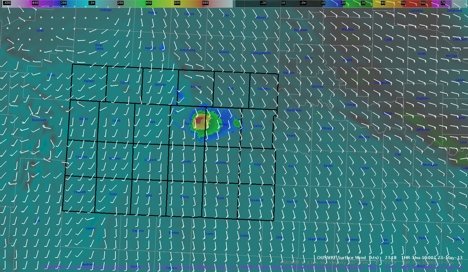
The OUN_WRF progged Surface Merged Reflectivity Composite also nailed the point of storm initiation around 1900 UTC(See image below).
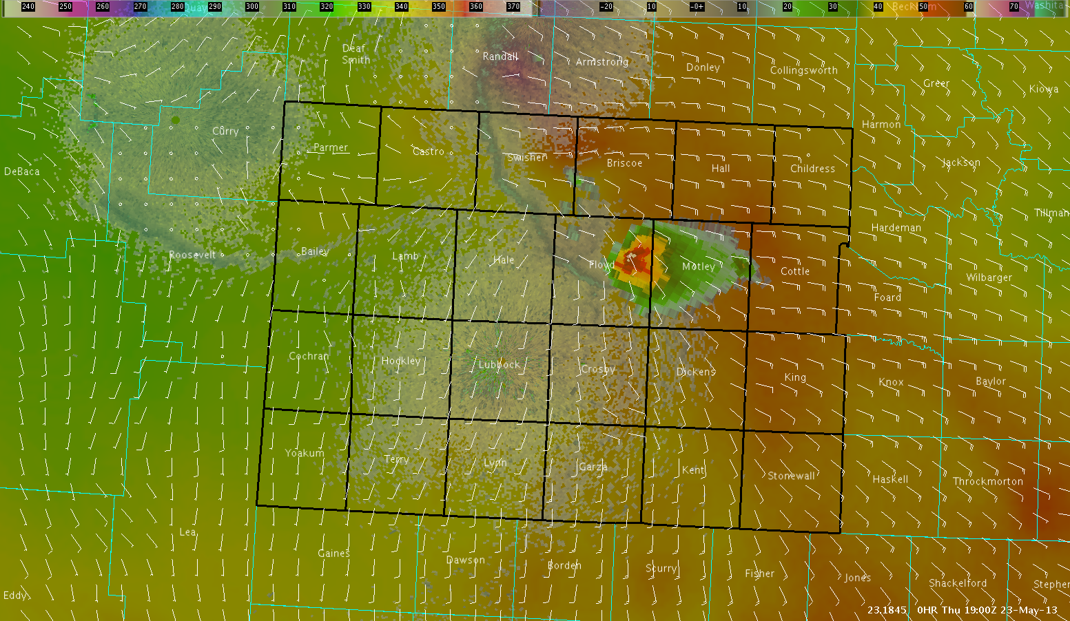
Below is the 1900 UTC 2.5KM Theta-E image clearly indicate moisture converging near the point where this supercell developed up through Floyd and Brisco counties northeast of Lubbock. Also, the wind fields verify that there was like good moisture convergence in this same area.
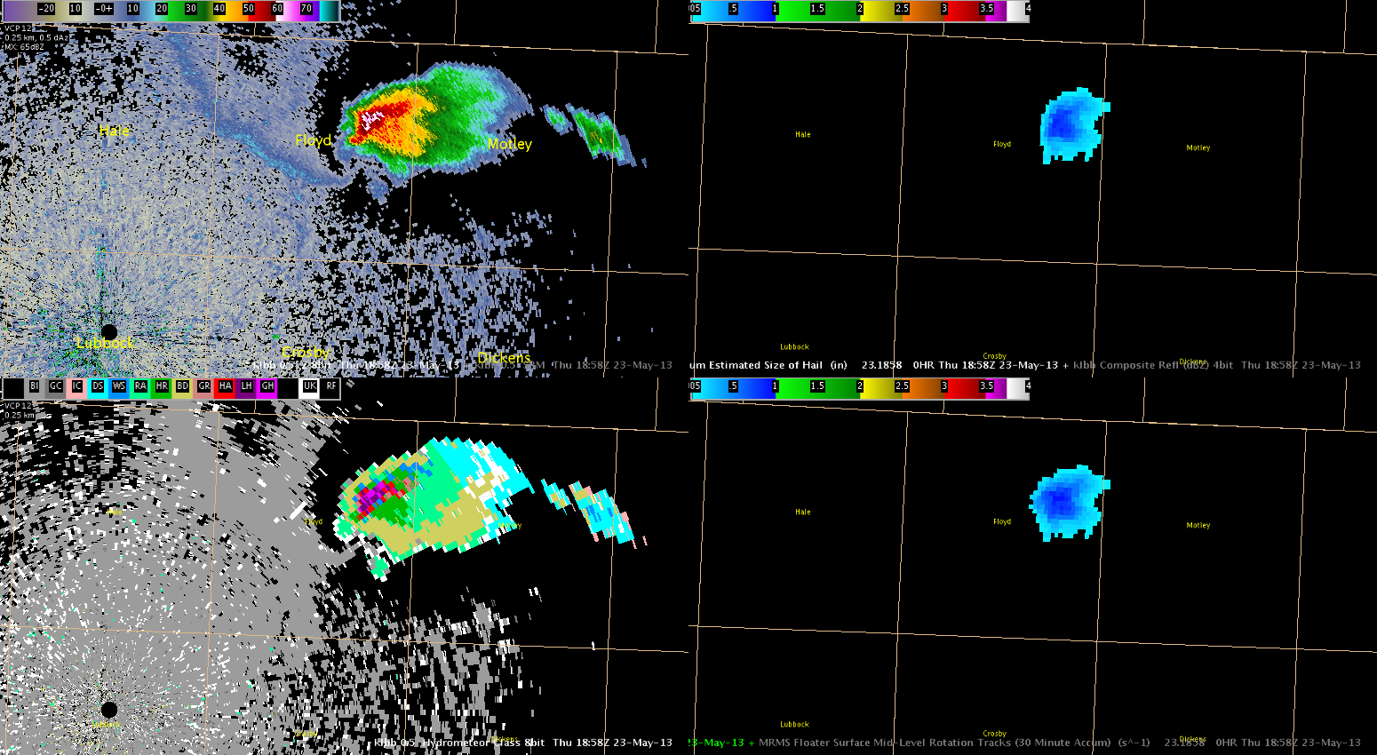
Some of the MRMS (MESH/30 min MESH swath) and HSDA (0.5 degrees showing potential for large hail as well) real-time data gave quick indications that this atmosphere was volatile and showed the storms potential with little latency at 1900 UTC.
This storm has already produced quarter-size hail at 1923Z and a few land spouts (weak tornadoes).


