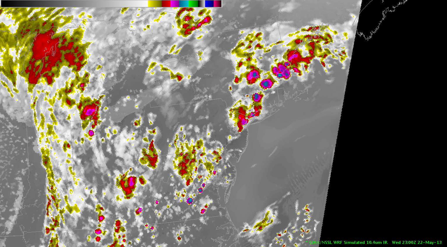
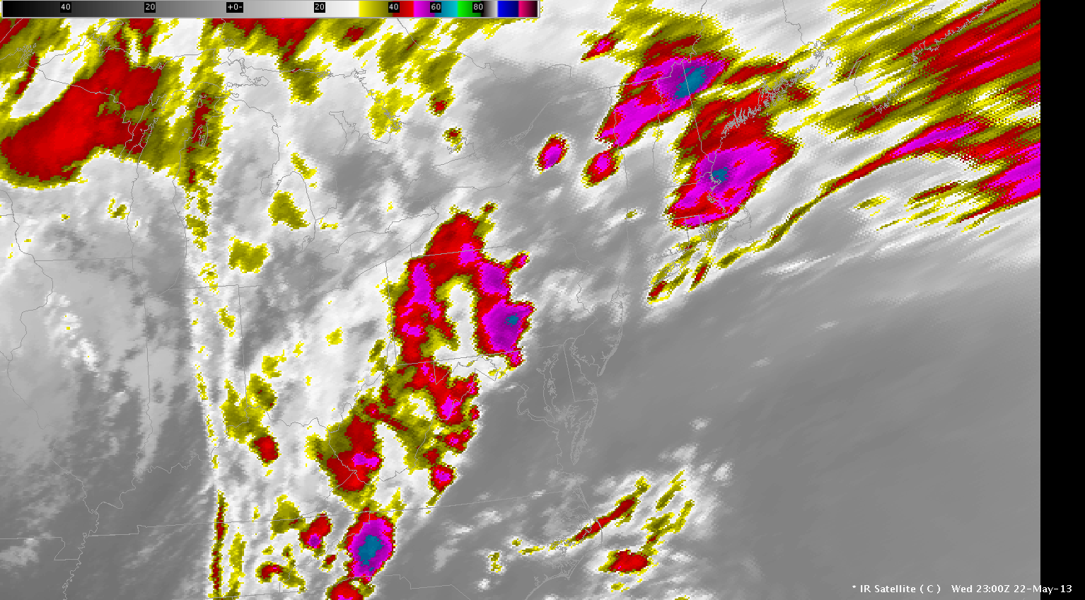
The WRF simulated satellite image forecast for 23 UTC (top) compared well with the observed IR satellite (bottom) with respect to the mid-level boundary location across Indiana. However, it did not handle to convection well which formed over PA. Instead it showed more convection east of the higher terrain across MD and northern VA.