
The storm shown below has undergone rapid strengthening lately. This time, I used the 30 minute MESH, composited with the MRMS -20C reflectivity to generate the warning polygon. The 30 minute product was useful for quickly determining a reasonable extent to my corresponding 30 minute warning. It also showed indeed that the storm was undergoing strengthening. In addition, at 2216 UTC, the >1 inch hail threshold was breached by the MESH data (actually looking back it was breached at 2214 UTC).
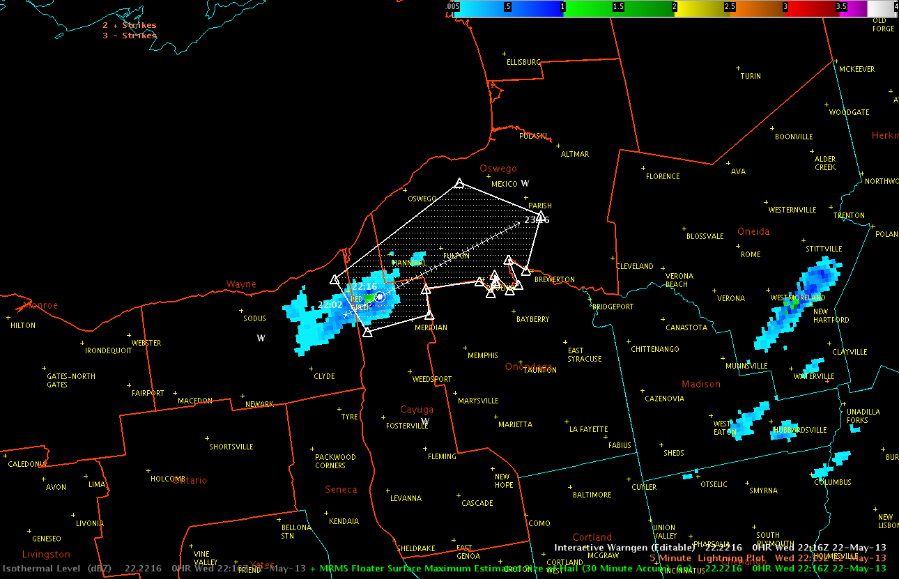
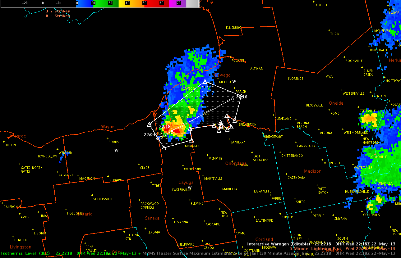
At the same time, the -20C Isothermal reflectivity was showing values around 60 dBZ (image 2 below).
Kris and Eric