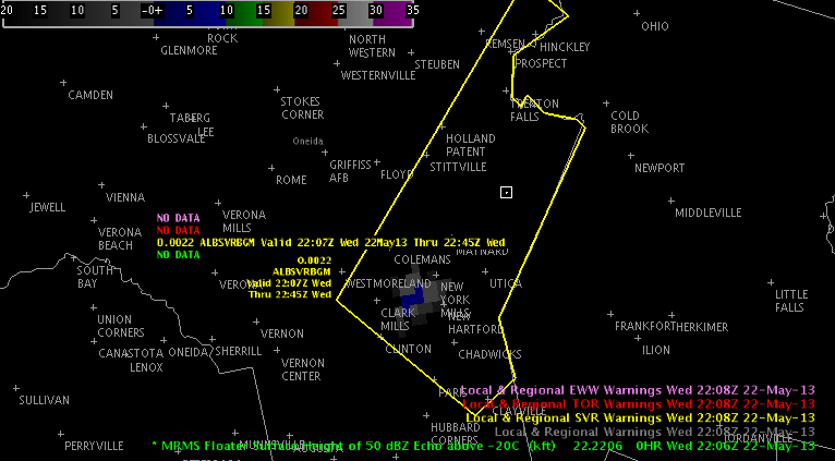
As of 22 UTC isolated convection is occurring across upstate NY. Most of the cells are rather benign. However, one stronger cell has developed across Oneida Co. in BGMs forecast area, which has the potential to produce severe hail with some development of the 50 dBZ core above the -20C isotherm.
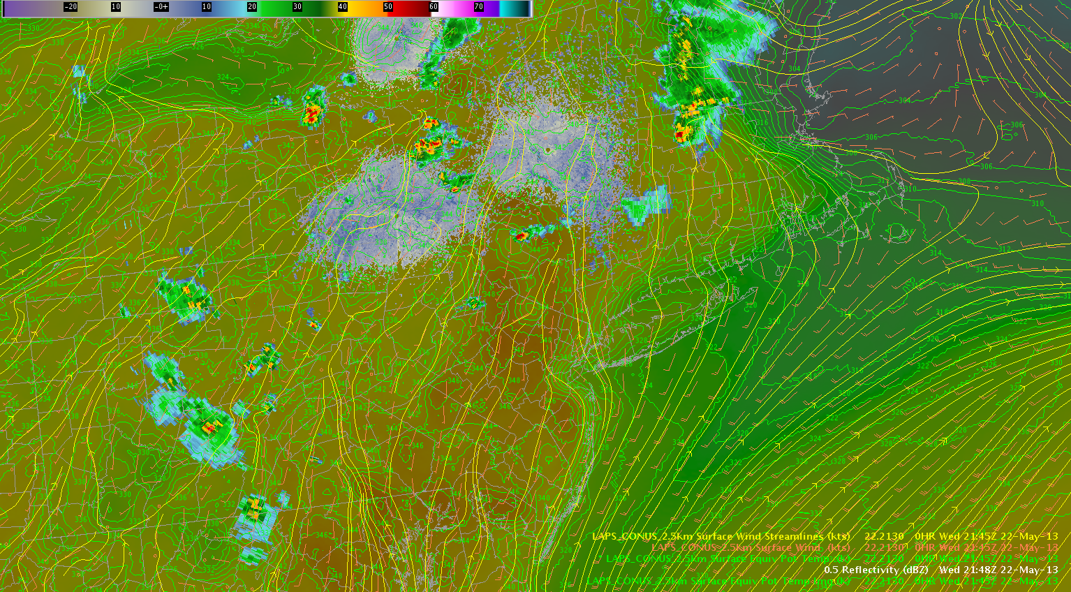
Additional development is occurring along the interface of the lake breeze off Lake Ontario and a moist theta-e axis, which extends north from the mid-Atlantic into upstate NY. This cell recently has begin to show some potential for hail.
Isolated to scattered thunderstorms should continue to occur over upstate NY along the theta-e axis. Additionally, the surface streamline analysis per the LAPS shows some convergence across the northern portion of the BGM and eastern portion of the BUF forecast areas, which should help focus the convection. A modest hail threat will continue along the moist axis during the next few hours, especially closer to the Mohawk River valley and Lake Ontario closer to a belt of stronger westerly deep layer shear over southern ON.
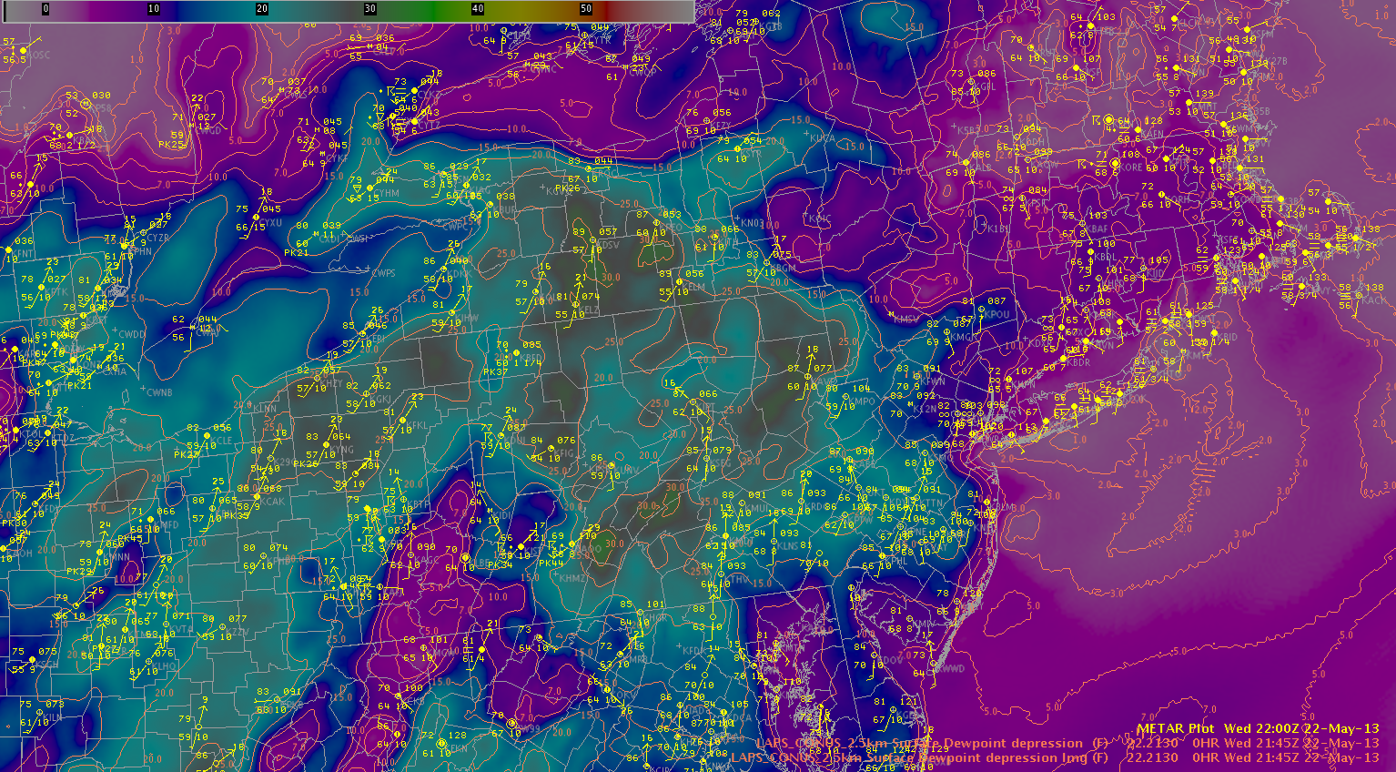
Dry air continues to intrude from the southwest evidenced by large dewpoint depressions (~25-30F) across central PA and western NY. Thunderstorms have developed across the higher terrain of PA and are tracking northeast toward western NY. The higher dewpoint depressions correspond to higher downdraft CAPE values, and this could lead to an increasing wind threat over the next few hours for west-central NY.
Zimmerman/McCormick


