
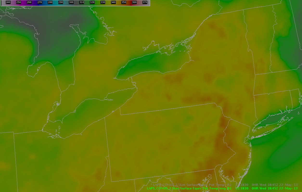
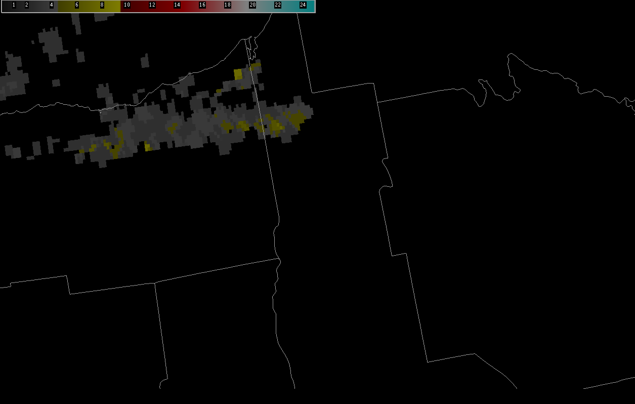
At the current time, one convective complex pushes to the east into New England from New York, with a stronger storm noted moving into Ulster County NY. Behind this complex, a stable layer is noted with lower Theta-E values shown on LAPS imagery.
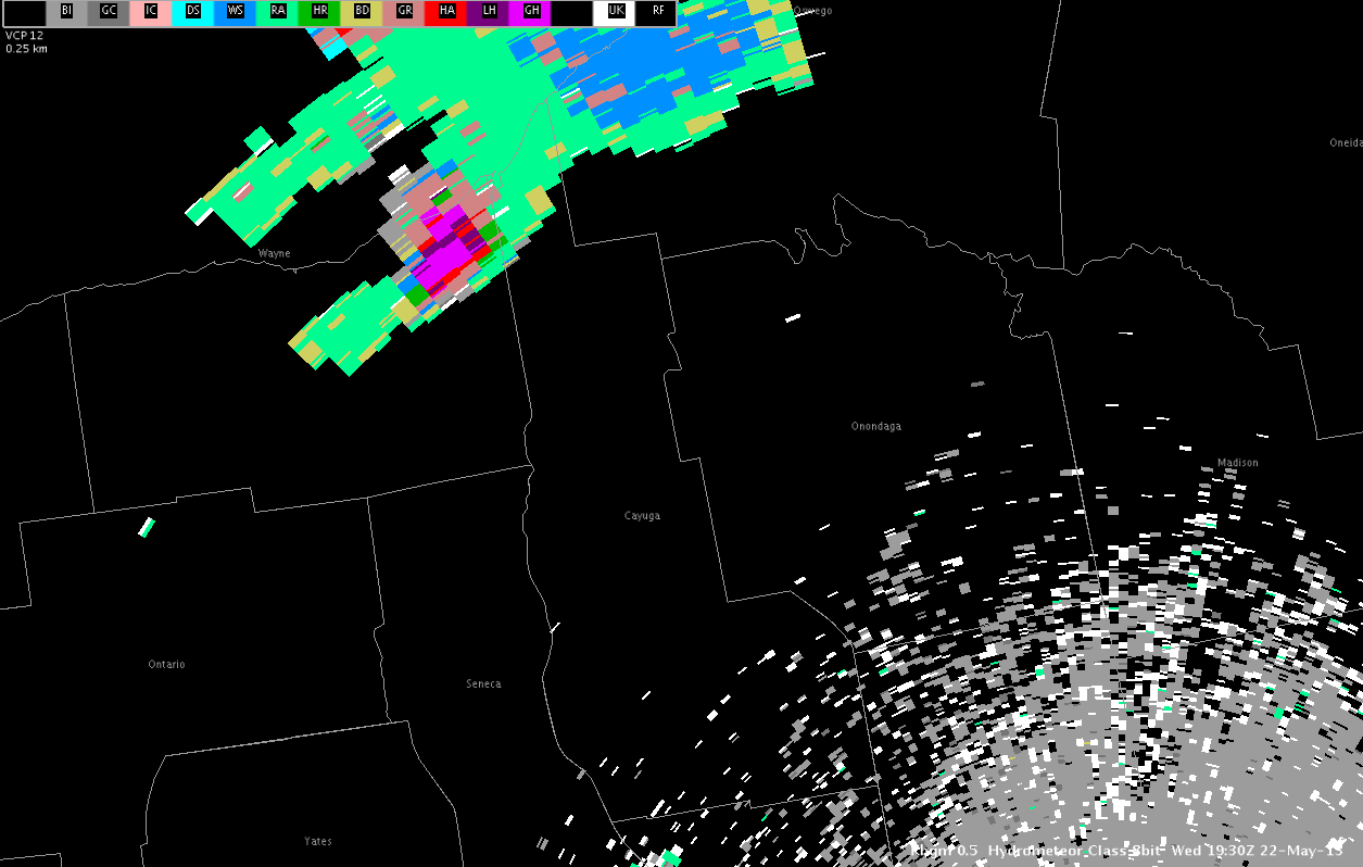
An isolated storm is also noted in northern Wayne County NY. This second storm continues to exhibit severe potential with an HSDA signature of large hail and MESH values exceeding 2 inches.
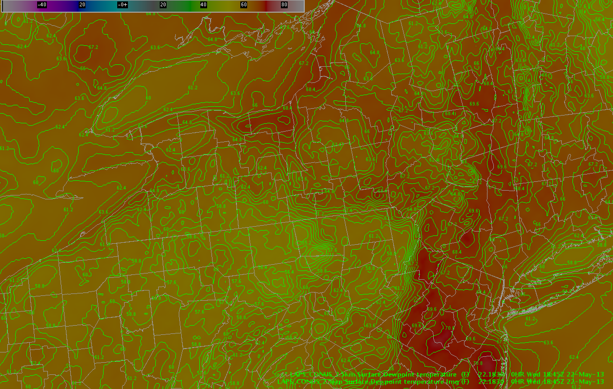
This storm is located along a convergence boundary well noted in LAPS forecast fields, with dew points in the mid to upper 60s noted south of the lakefront.
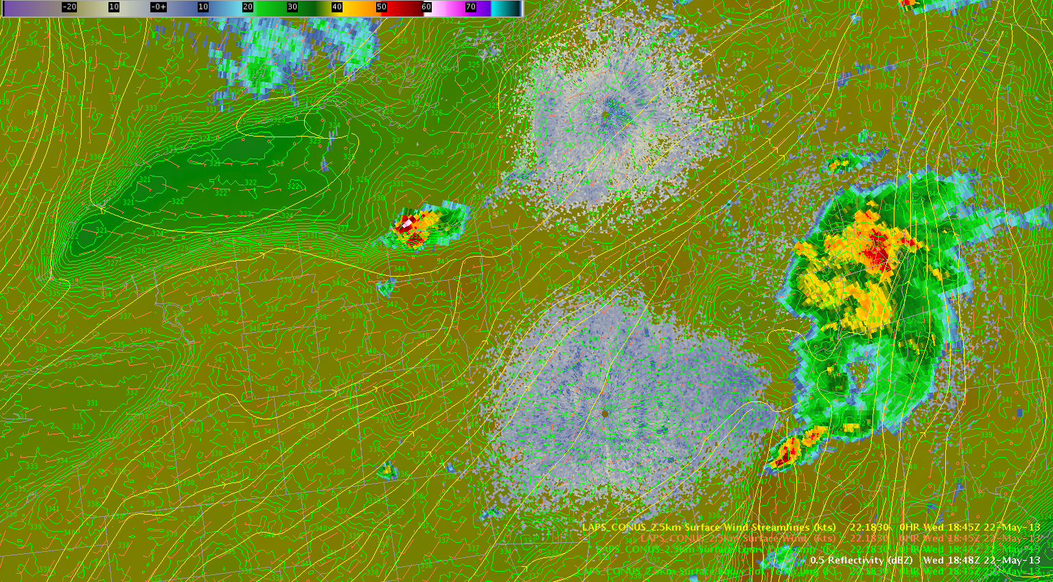
This supercell storm is expected to continue to pose a threat of severe hail and perhaps a tornado or two as it moves to the east in an environment characterized by rich moisture and unseasonably warm temperatures that have reached the low 80s, even in the presence of modest 6 km shear of 30 kts. The environment to the south is moderately unstable, characterized by RAP indicated instability values of SBCAPE approaching 2000 J/KG. In addition, a gradual increase in mid level rotation has been noted in recent scans, with storm splitting noted and both storms showing mid level rotation.
Farther to the south, in areas of weaker deep layer shear, convection is expected to increase in coverage through the afternoon hours along two particular moisture gradients noted on the LAPS dew point fields. The first boundary is located from north to south from Wayne County NY to Bradford County PA. The second boundary is located from west to east southeast from Erie County NY to Bradford County PA. Cu clouds are increasing in coverage across western NY with a few echoes beginning to appear. One of these echoes is located in Erie County NY, another two are located in Chemung and Tioga Counties. The main threat through the evening hours should be large hail… with some gusty winds in stronger storms.
– Zimmerman/McCormick