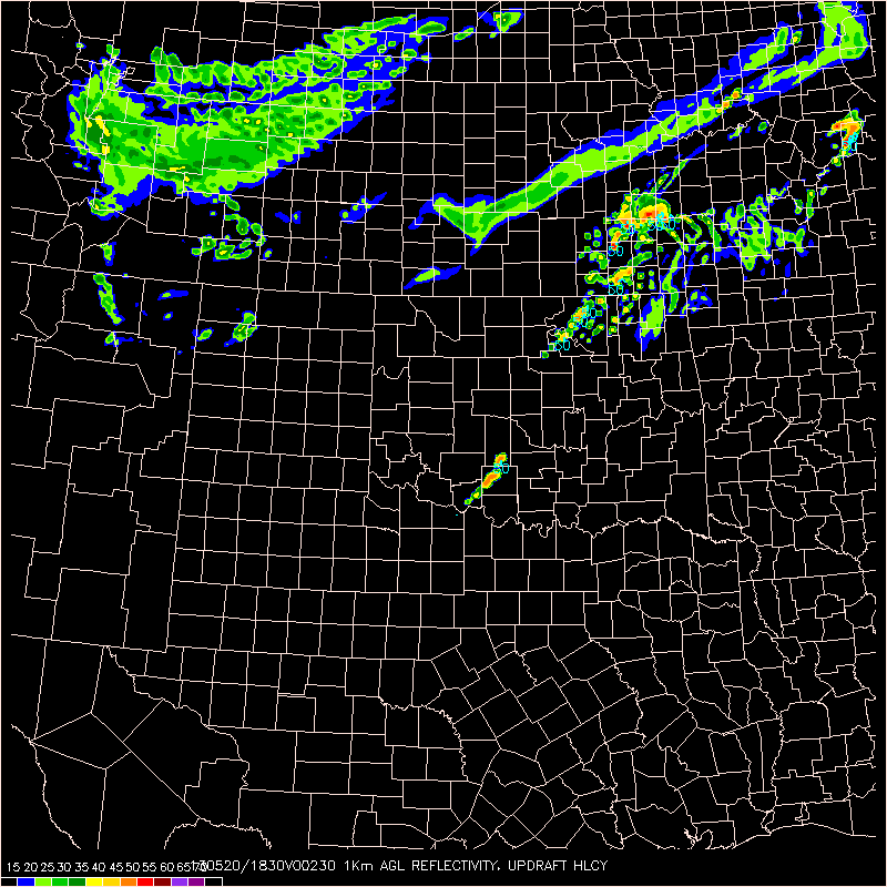
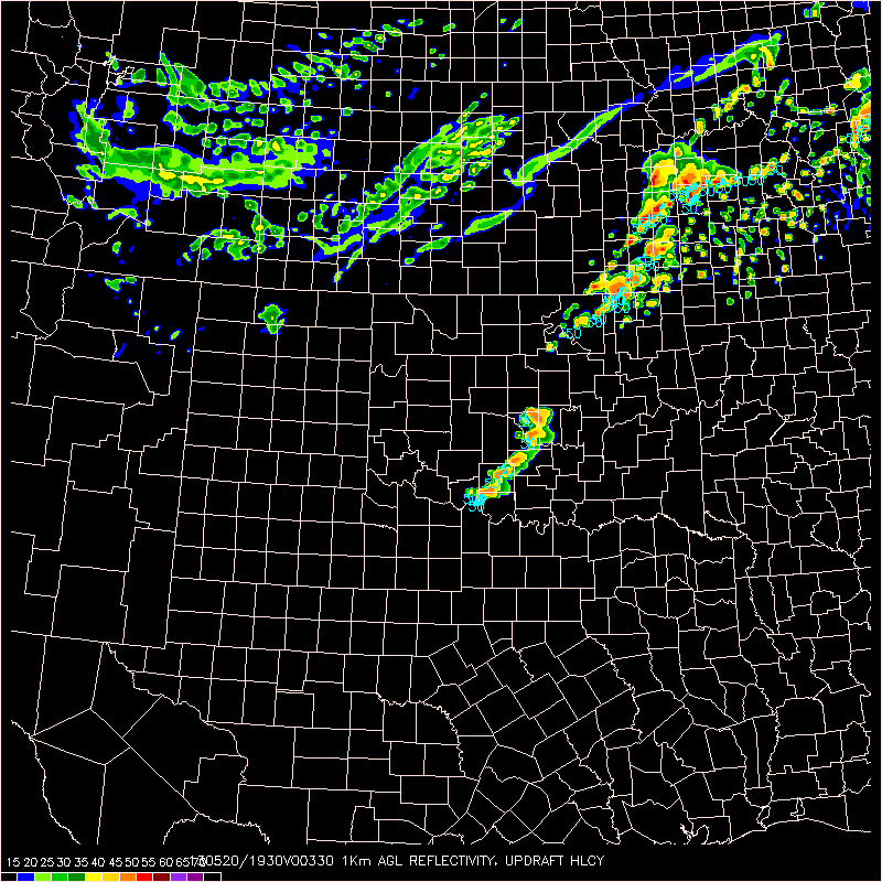
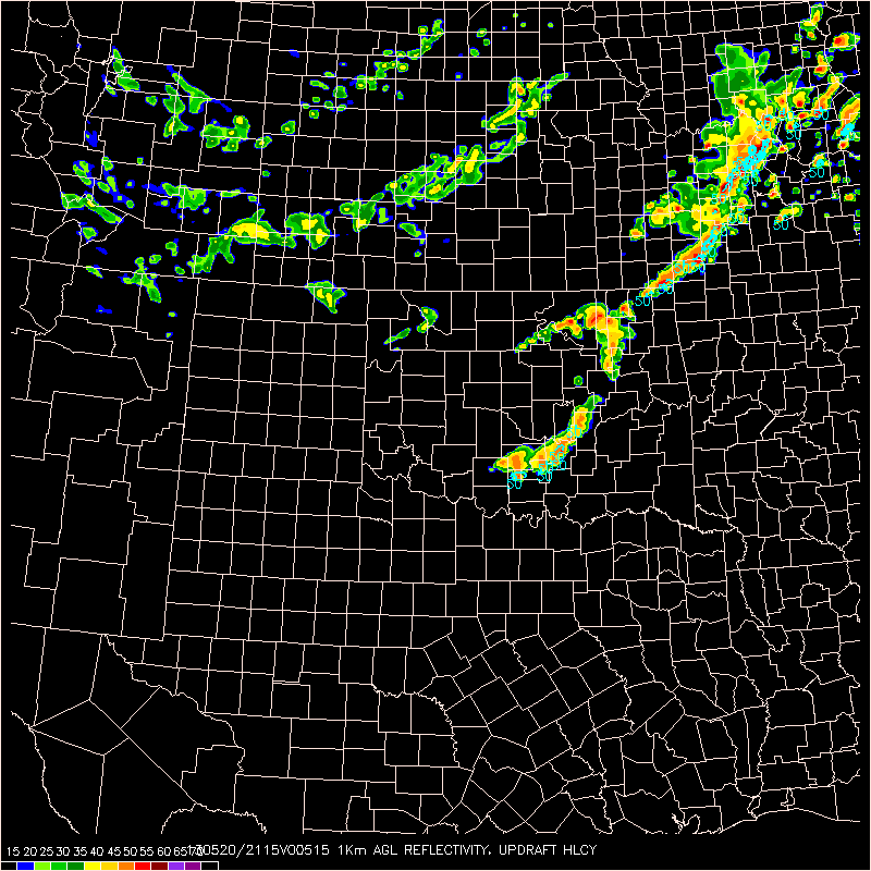
Sct TS development over south central OK as of 19z. Tor watch issued for most of eastern OK to account for expected development this afternoon. Latest obs indicate cold front draped over central OK with dry line extending back into SW OK with upper level low over Dakotas. Strong southerly flow over eastern OK pushing dew pts well into the 70s as of mid day, with sharp contrast west of dry line, with dew pts remaining in the 50s over the pan handle of OK. MU CAPE over eastern OK around 4000 j/kg already and blk shear around 75 kts. 17z OUN sounding shows deep low level moisture with capping around 850mb, which should weaken within the next couple of hours. 16z OUN WRF indicates development to close proximity with on going convection attm, with further super cell development this afternoon as the current cells push east and north into the more unstable atmo.