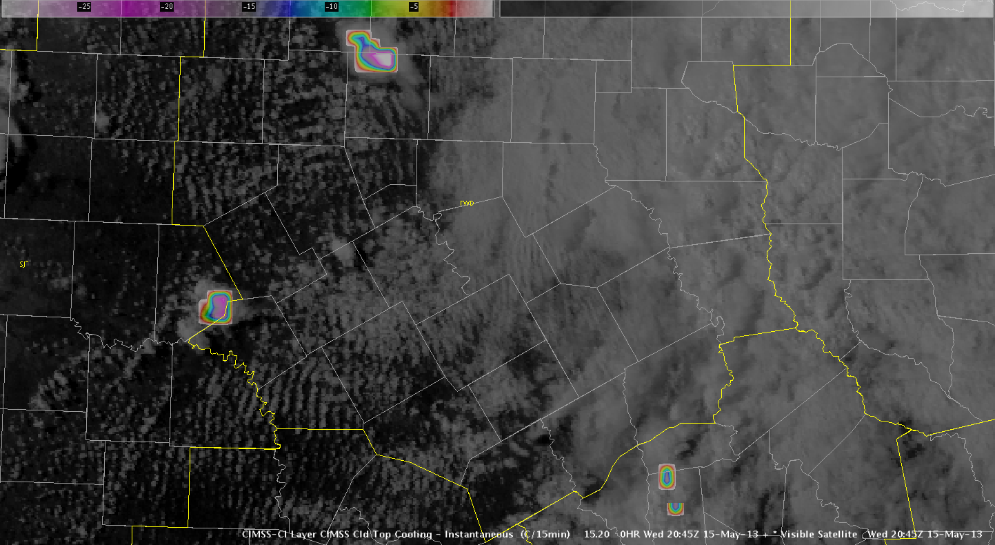
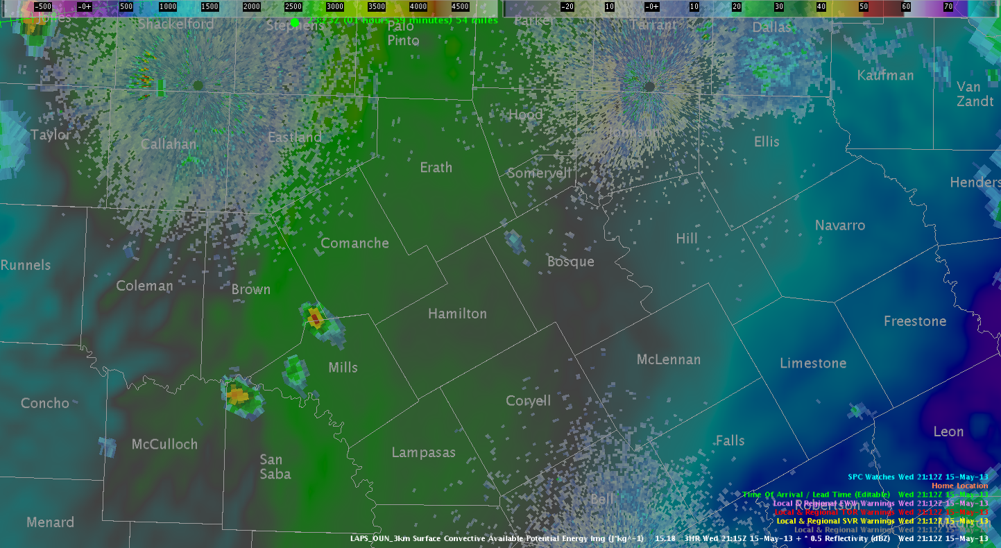
Based upon CTC rates around -20 to -25 C and initiation within a LAPS-analyzed region of approx. 2500 J/kg of CAPE, we warned on a cell that was developing around the Brown/Comanche/Mills intersection, expecting that strong cooling rates within an axis of (model-represented) good instability would at least result in a hail threat. However, the cell quickly weakened as it moved into the FWD CWA. Based upon recent sounding from MPEX in Seymour, TX, current atmospheric column across central TX may be too dry, resulting in growing updrafts entraining too much dry air and dissipating from negative buoyancy.
CTC Rate (SW portion of CWA)
LAPS-analyzed Instability


