As part of the Nowcast / Warning desk for FWD, it’ll be interesting to watch initiation along the northern portions of the tightening dryline this afternoon.
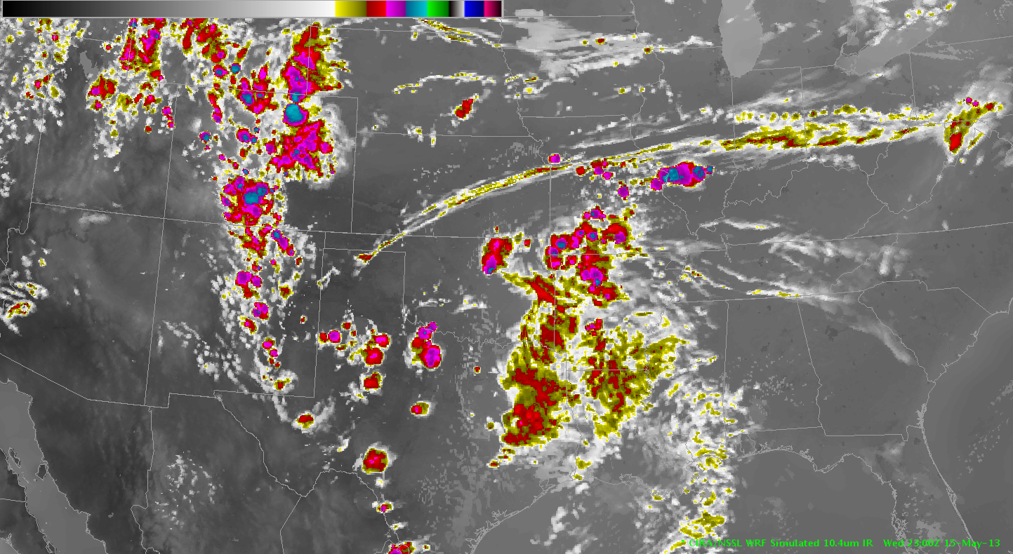
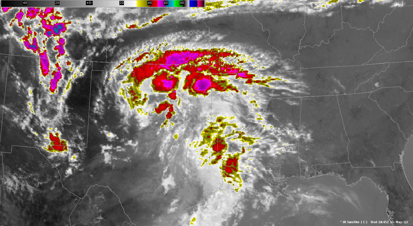
When comparing the simulated IR with the actual IR at 19Z, it appears the simulated is underdoing cloud-cover on the backside of the upper low (across NW TX / W OK). It then initiates convection across NW TX around 21-23Z. The possibility exists that across the northern portion of this region, around the Red River or so, heating might be overdone on the model, resulting in initiation too early / too widespread. It will be interesting to see how initiation occurs along the dryline today.
Picca
19Z Actual IR
19Z Sim IR
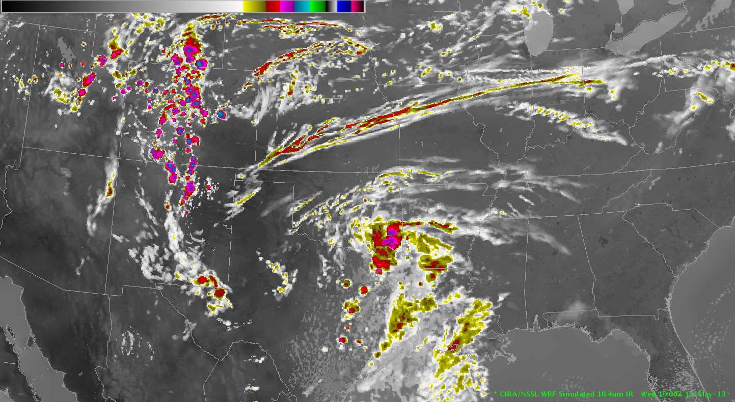
23Z Sim IR