

Monitoring the potential for convective development across W Minnesota / SE South Dakota, and across central Nebraska.
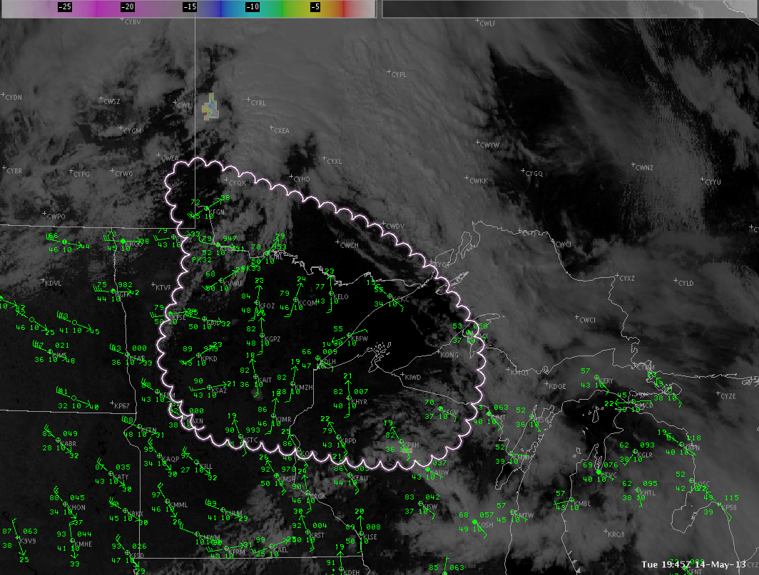
Shortwave trough currently progressing east across S Saskatchewan into E Ontario providing support for some initial development across the Canadian provinces, as seen in IR / VIS / CTC data. Large-scale lift aloft, in association with eastward progressing frontal boundary is supporting a line of agitated cumulus extending south into NW Minnesota. Nearcast difference CAPE product indicates an axis of weak-to-moderate instability (500-1000 J/kg) in front of this boundary extending south into NE and IA. WRF simulated IR fails to develop much of any activity across N Minnesota, keeping all activity developing after dark across the UP of Michigan. Farther south and west, it shows better development across Iowa and Nebraska around 00Z. However, considering best large-scale forcing exists closer to the Canadian border, and model fields were generally overestimating surface dew points farther south (forecast >60 versus AOB lower 50s being observed), thought is that best potential may exist closer to the international border over the next few hours.
If storms can develop, dry low levels and steep lapse rates support a high wind threat from higher based storms. Better wind fields farther north (0-6 km shear >50 kts) and slightly cooler temps also support an enhanced threat for marginal severe hail closer to the Canadian border.
Picca