
On Wednesday, we began operations in the Development Lab. After a short debrief of the previous day’s events, we discussed the Day 1 forecast. We agreed that the Norman and Dodge City County Warning Areas were most likely to receive severe weather. Before we decided where to operate, though, we asked Jimmy Correia (SPC) to give a forecast briefing for the Experimental Forecasting Program. From his briefing, it became apparent that convection was most likely to develop in the Norman CWA first. So, it was decided to operate there initially.
Our forecasters were divided into three teams: two warning teams and one mesoscale team. The North warning team consisted of Hayden Frank and Jonathan Buseman; they covered the warnings in north of I-40 in Norman’s CWA. The South warning team consisted of Marc Austin and Nick Hampshire; they covered the warnings in Lubbock’s CWA, then the southern half of Norman’s CWA. Andrew Hatzos and Jonathan Kurtz filled the Mesoscale Desk. We kept these teams throughout the afternoon and into the early evening. Around 5 p.m., though, it became apparent that Dodge City’s CWA was likely to see severe weather. For this reason, Jonathan Kurtz was moved to the DDC Warning Desk.
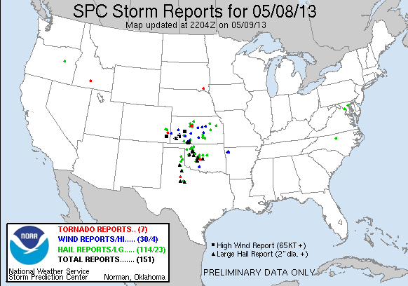
A squall line developed just west of the National Weather Center toward late evening, which gave us an opportunity to observe the weather for which we were forecasting. The Norman mesonet registered a 40 mile wind gust, and we observed blowing dust from the observation deck of the National Weather Service. After issuing almost 40 warnings, the EWP crew finished operations.
-G. Garfield, Week 1 Coordinator