
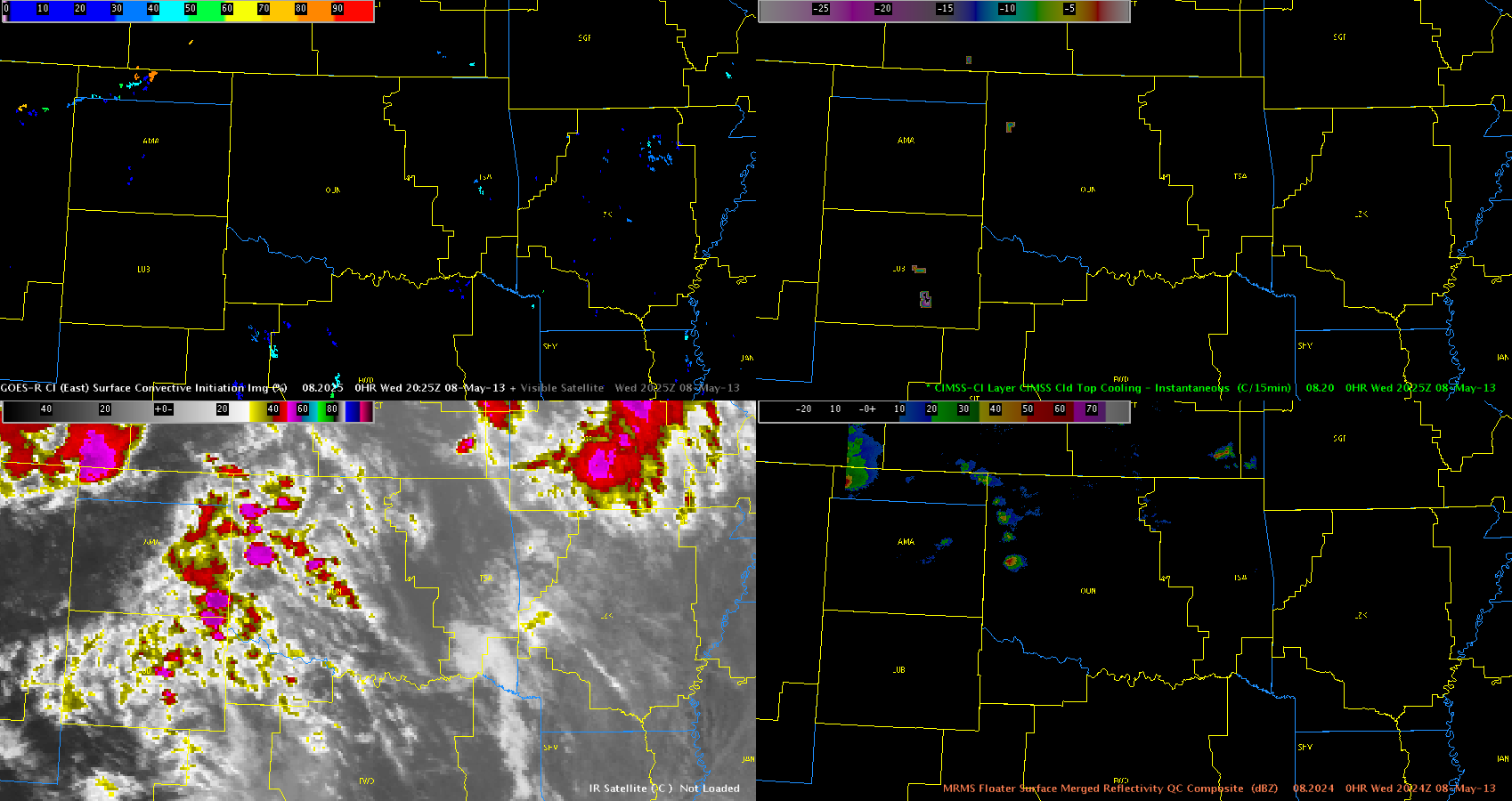
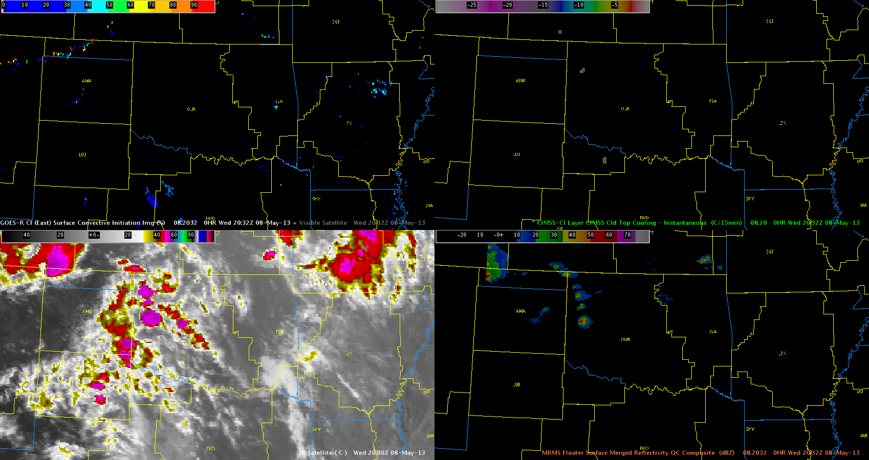
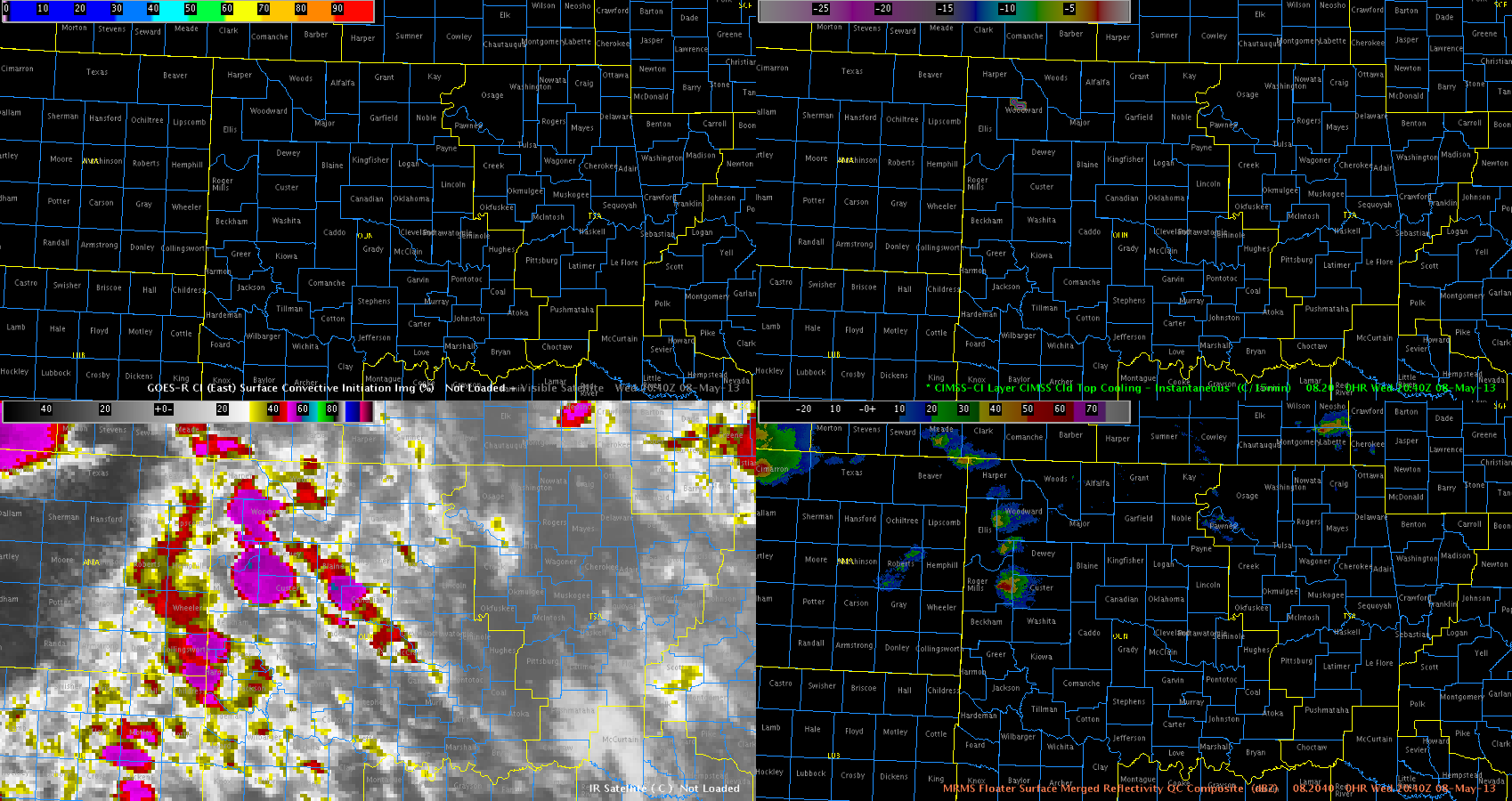
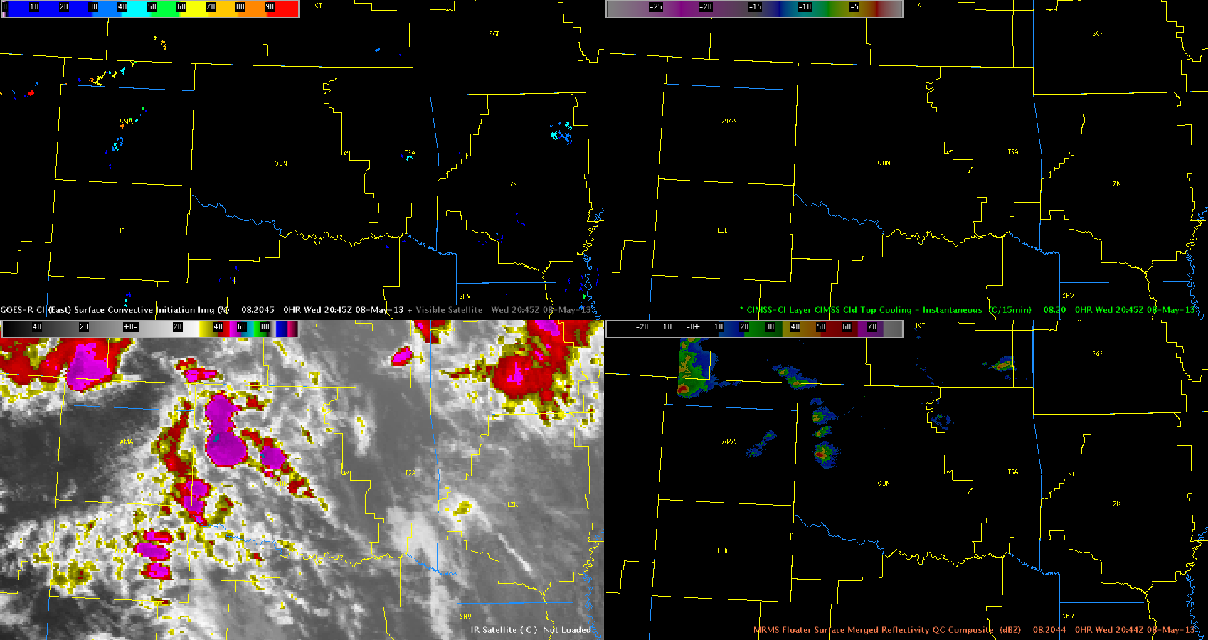
Early high and mid cloud contamination from an approaching upper-level jet limited use of both the UAH CI and UW CTC products across northwestern Oklahoma this afternoon. Storms initiated around 3 pm with the first Severe Thunderstorm Warning issued around 345 pm. The UAH CI product never showed any signs of CI due to this cloud contamination, but the UW CTC product did briefly show some signs of severe storm development as it provided an approximate 20 minute lead time on the first warning issuance. Previous shifts had found longer lead times utilizing the CTC product, but the extent of upper and middle cloud contamination was not as pronounced during those cases.
Frank/Guseman