

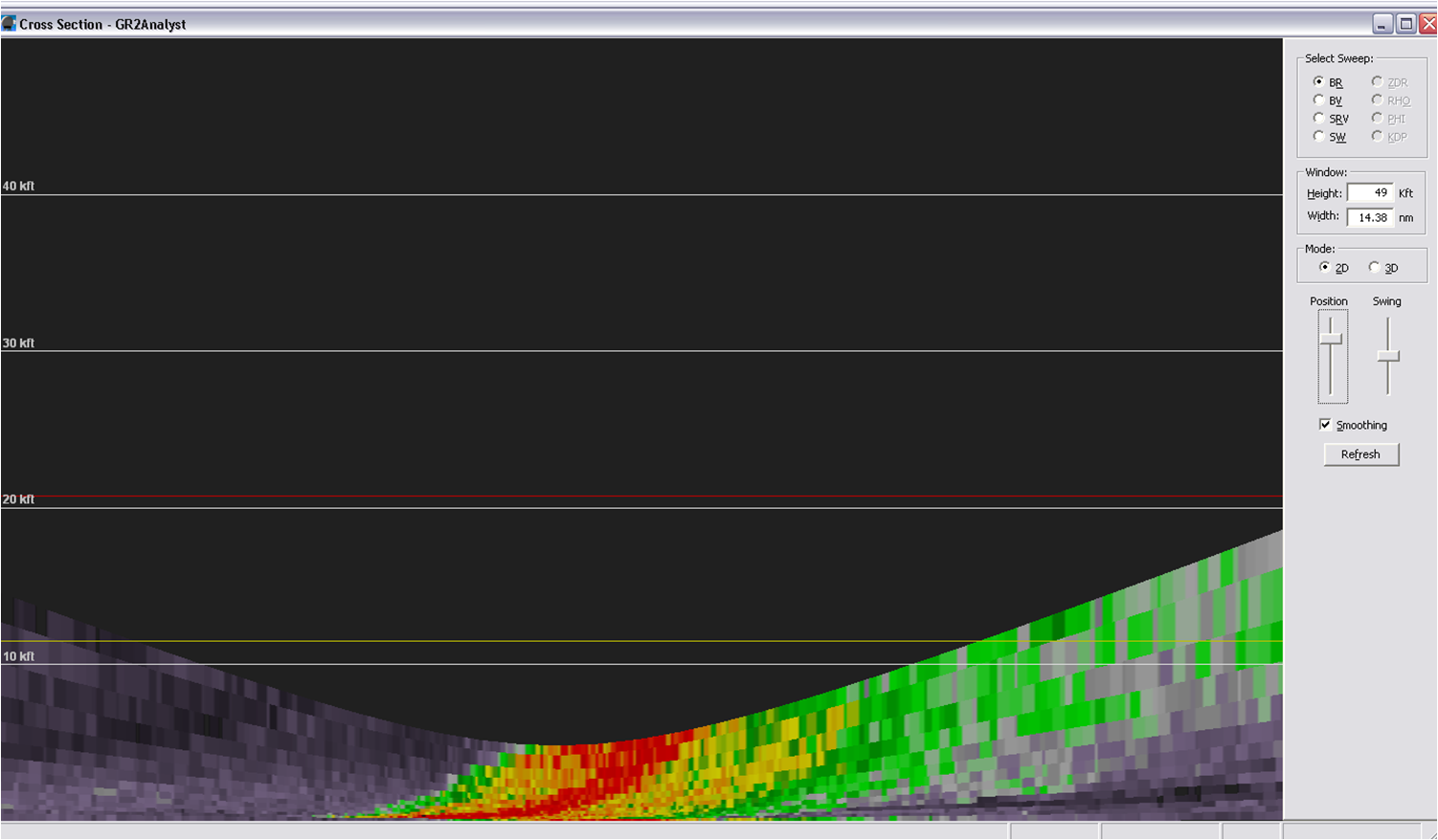
A strong to marginally severe thunderstorm tracked from west to east and passed over the KDDC Radome. If a forecaster were using the single radar, it would be hard to discern the storm’s chances to produce hail due to the highest beam being below the freezing level. MRMS comes into play here because it uses multiple radars to give the forecaster better information about the storm.

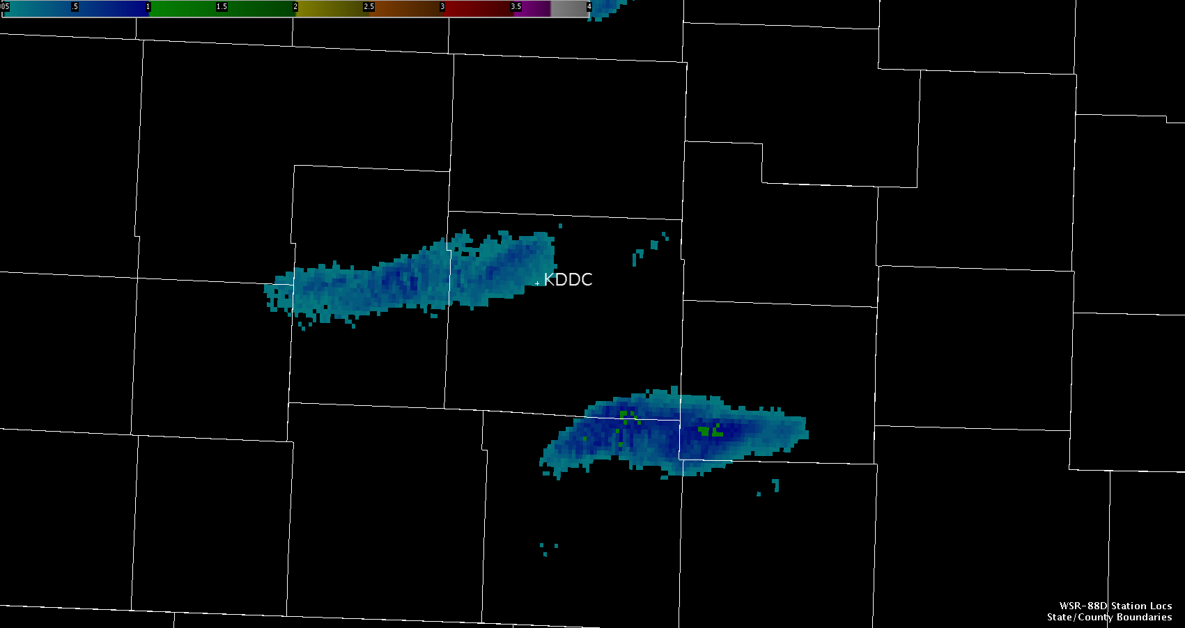
MESH was used to determine the estimated hail size as the storm tracked across the Radome. The algorithm was able to use other radars to sample the storm’s updraft and to estimate the hail size within the storm. This provided forecasters with useful information that would not otherwise be possible without the MRMS.
Hampshire