

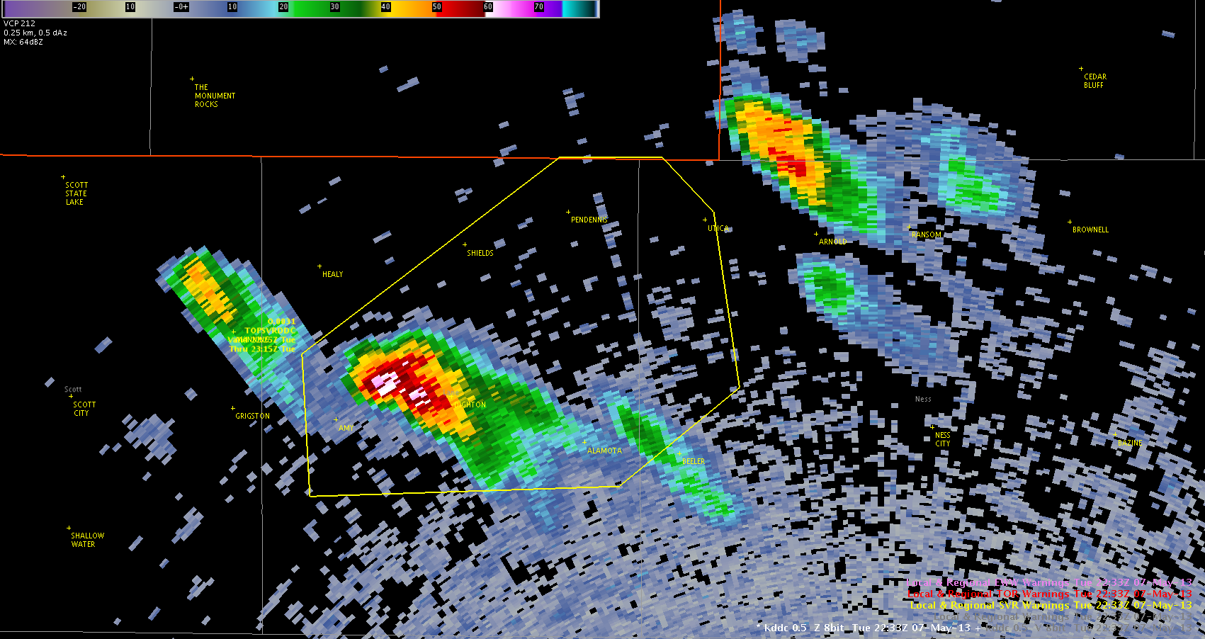
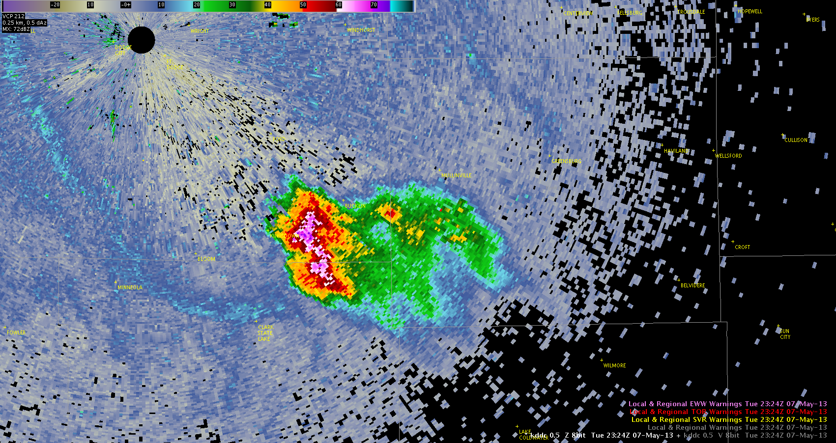
As several storms developed in the DDC forecast area, and very slowly reached maturity (and severe intensity), the Cloud Top Cooling (CTC) product provided a significant amount of lead time.
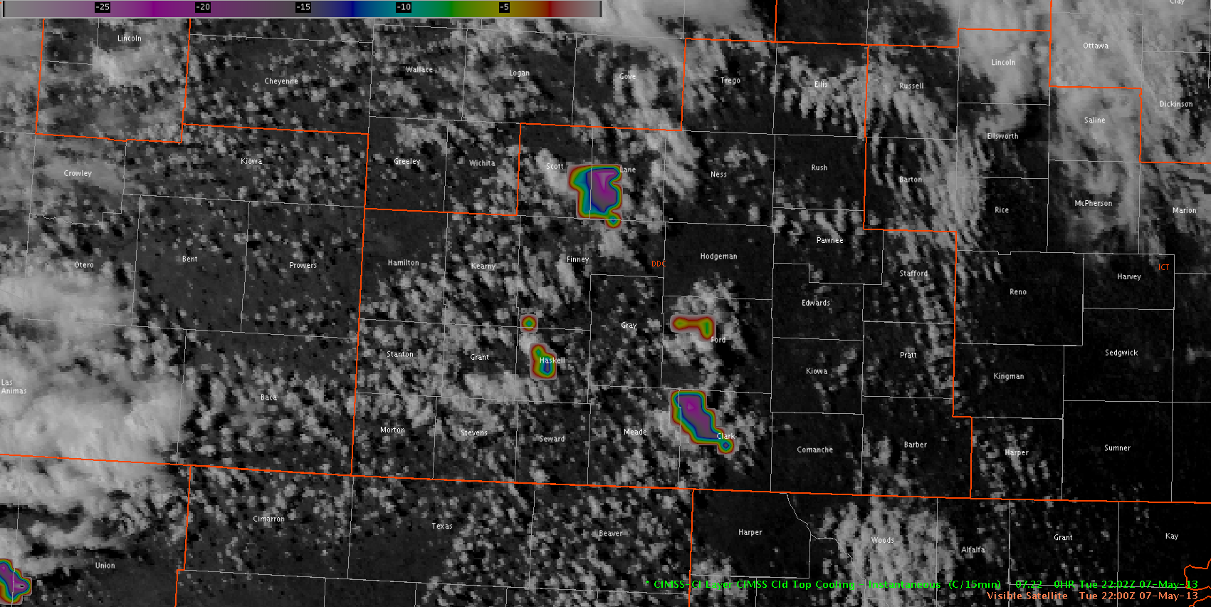
At 2202Z, three areas showed strong (20+) indications on the CTC product. The two areas in Lane and Clark Counties went on to produce severe thunderstorms. However, the smaller area in Haskell County did not end up with severe hail reports. All three of these CTC areas continued for several consecutive time steps.
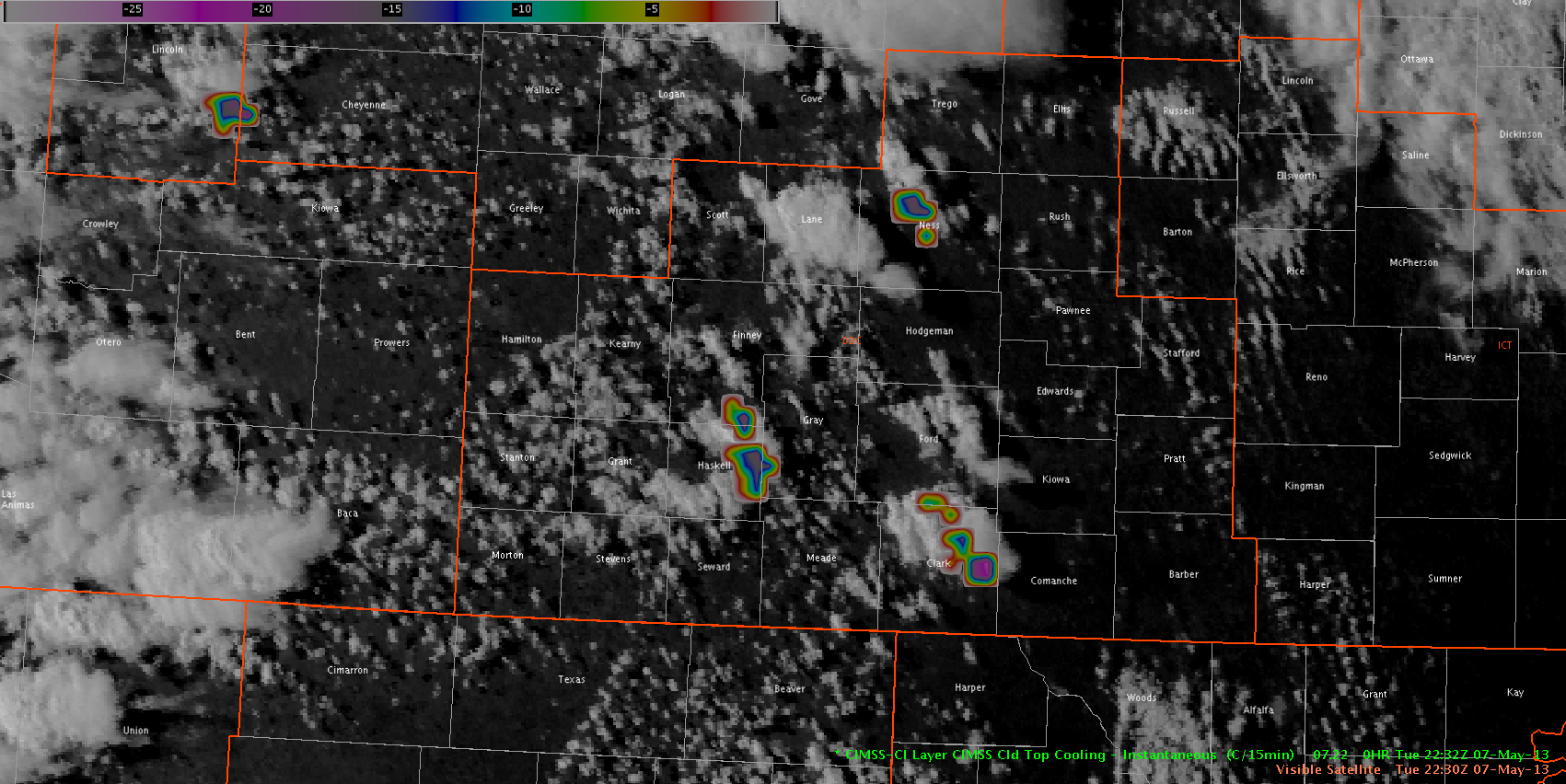
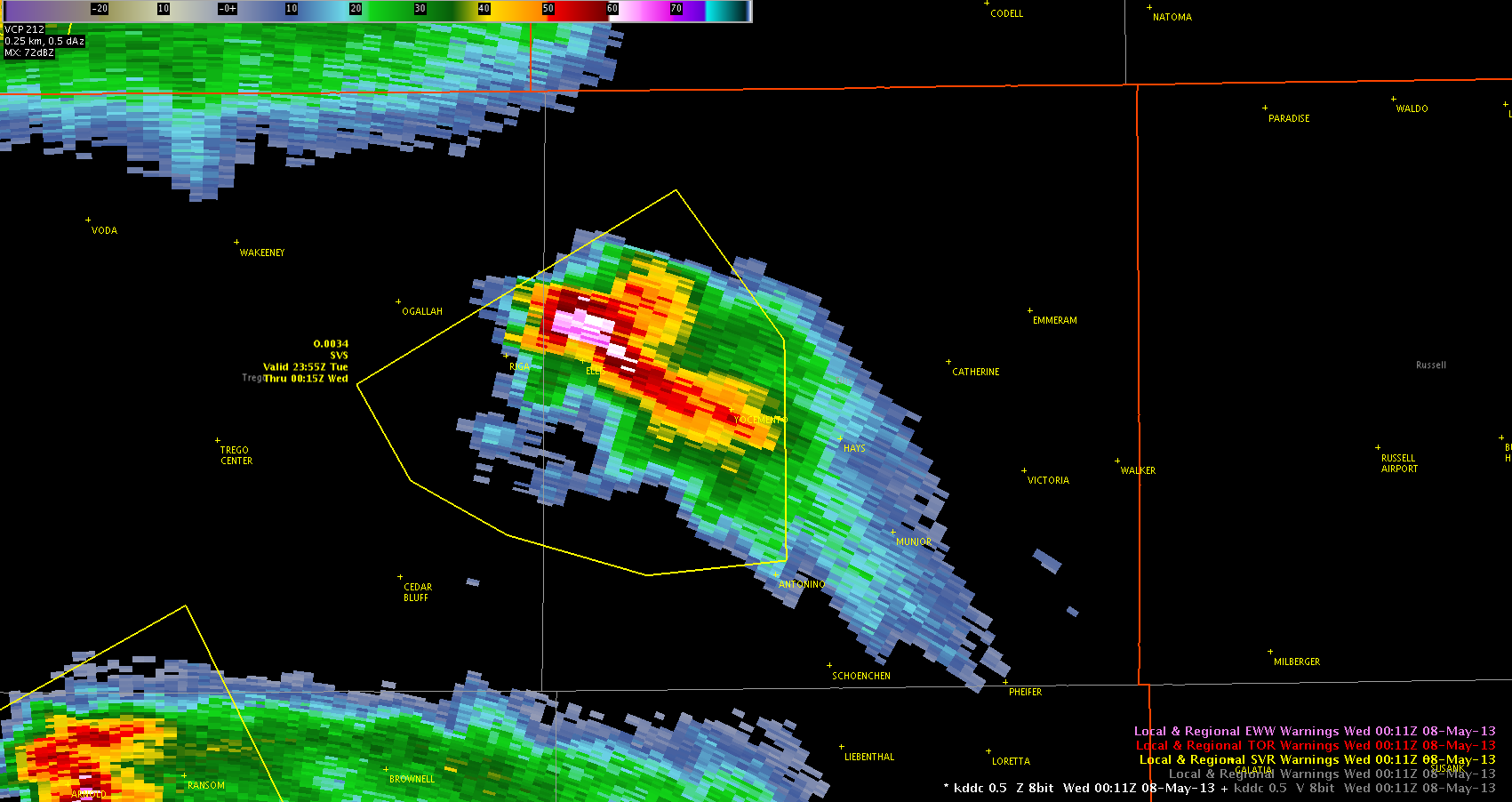
An hour and a half later, a new area of strong CTC developed in Ness County. This area also persisted for several time steps, and preceded severe thunderstorm development as the storm moved into Trego and Ellis Counties. The area near Haskell County was associated with the one storm that did not become severe, while the Clark County CTC area was associated with the severe storm moving out of Ford County.
With the exception of the sub-severe Haskell County storm, the other three CTC indications were associated with future severe hail reports.
–Hatzos