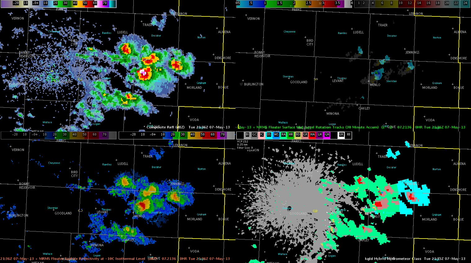
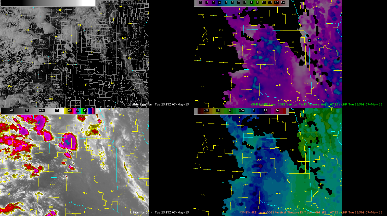
We continue to monitor isolated to widely scattered supercells extending from NW KS through SW KS/NW OK, with more isolated activity near LUB.
Recent sfc obs show area of backed winds over NW KS on northeast fringe of a broad lee trough drifting eastward from CO. Here, pooling moisture has contributed to modest instability per recent mesoanalysis with impressive wind fields, albeit somewhat weak in the upper levels. Some meager low level rotation has resulted from this area of backed surface flow, with a few reports of weakly rotating wall clouds. As LCLs decrease this evening, a very narrow window for tornadic development will exist, but low level shear will continue to limit this threat.
Further south, large hail and damaging winds have been the main threats with a few reports of up to golf ball sized hail. Deeply mixed boundary layer has resulted in high based storms within impressive steep mid level lapse rates favorable for hail production. Also, with inverted V nature of area soundings, would not be surprised if very strong winds are occurring with the most severe storms.
Even further south, areas in and around Lubbock have seen very isolated storm development this evening. One single slow moving supercell has been located near the border of Garza and Crosby counties. This storm also developed in a very localized area of backed surface winds, with enhanced surface convergence. Also, surface heating likely played a role in convective initiation, with temperatures climbing into the mid to upper 80s. This development was preceded by multiple CI and CTC signals, though they tended to be sporadic and indicated there may be many more storms than actually developed.
Heading into the evening, expect severe storms will generally persist through around 02z to 03z. Most activity appears to be diurnally driven. On exception to this will be parts of NW/N Cntrl KS, where an eastward propagating cluster may develop later this evening. Taking a look at Nearcast products, we observe that instability has taken a bit of a hit over the entirety of the area with ongoing convection, as has moisture depth. It still appears the most favored areas for persistent severe convection and supercellular activity will be over NW KS in Goodland’s CWA, eventually migrating into Hasting Nebraska’s area of responsibility.
Lubbock’s convection has diminished in the last hour, and will discontinue operations there. Will keep operations at DDC and GLD active through end of day as activity is expected to continue.
Austin
