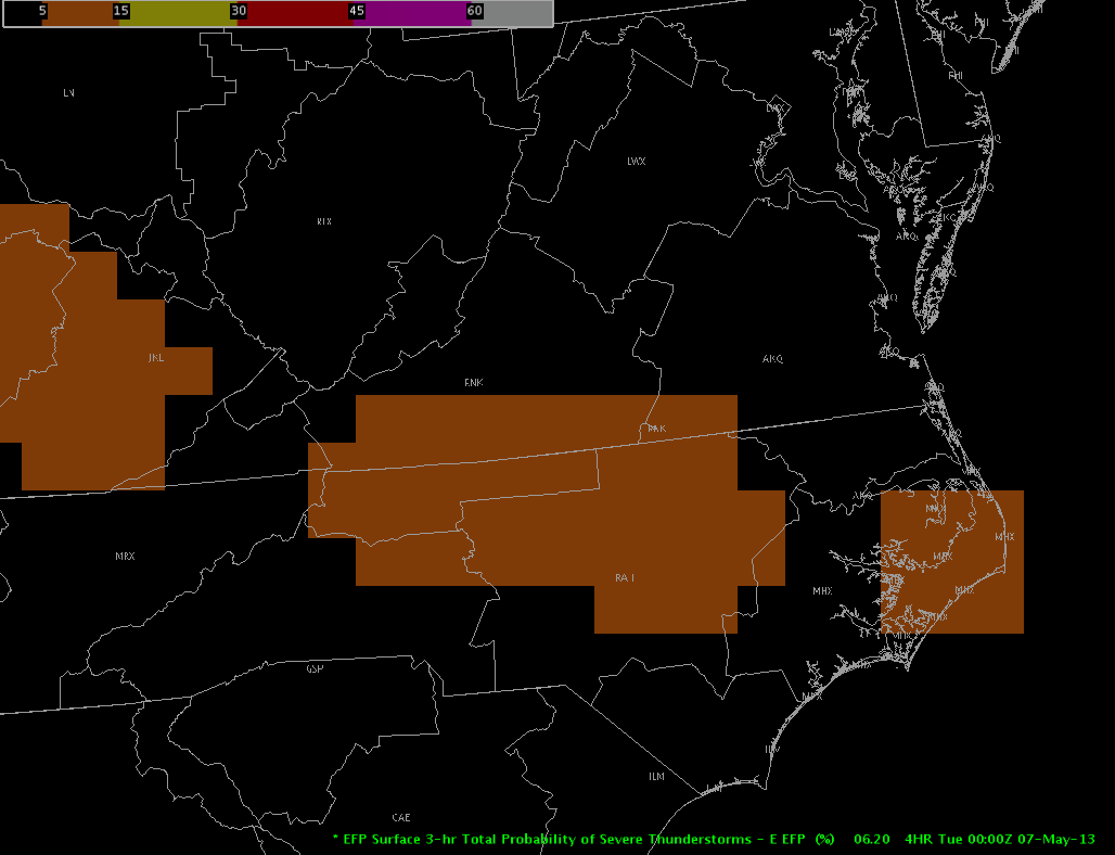
Convection is ongoing across North-Central North Carolina westward into the Appalachians. The upper low is currently centered in eastern Tennessee. The most robust thunderstorms of the afternoon have developed across northwest Carolina along a a boundary extending from NW North Carolina into eastern Kentucky.


The environment is not overly robust to sustain severe convection. Surface-based CAPE values across Northern North Carolina are roughly around 1000 J/Kg with 0-6 km shear 40-50 knots. Low-level lapse rates will be approaching 6-7.5 C/Km by 21z with mid-level lapse rates around 6-7 C/km. The main threat will be marginally severe hail, but 0-3 km helicity values between 150-200 m2/s2 could support a low-end tornado threat. However, as storms move away from the boundary, this threat will decrease.
The EFP has placed a 5% probability of severe storms for the previously mentioned area, while a slight risk of severe storms is forecasted by SPC in small area shown in the image below.


As a lobe of energy wraps around the upper-low and moves northward into northern NC, the storms which have already initiated should be able to continue northward into the Blacksburg, VA CWA while some continuing activity is possible across the northwestern extent of the Raleigh, NC CWA.

Hampshire/Guseman

