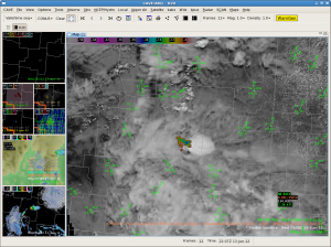
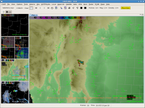
Looks like the Lincoln County storm/shower is starting to diminish. Interestingly, the CTC product showed -25c but again, it was over the higher terrain. Today, it seems like whenever anything develops on the higher terrain, it moves off into the lower elevations and dies out. Suspect the storms still cannot realize that reservoir of SBCAPE to the east.
Month: June 2012
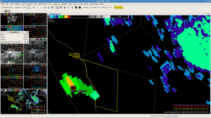
MAF Second Warning for Persidio County
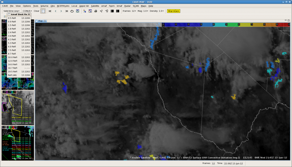
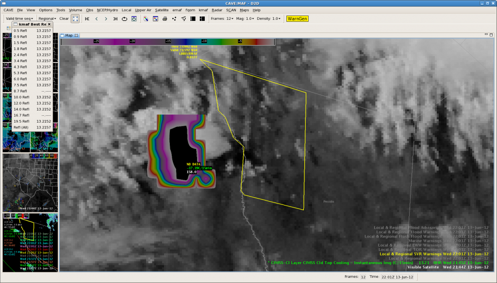 Issued our second Severe Thunderstorm Warning for Persidio County. Storm is showing strongest Cloud Top Cooling rates observed today around -37C/15 min. This cell is over northern Mexico way out towards the edge of the KMAF NexRad coverage…with 40 dBZ echo at 35 thousand feet. We will see how this one pans out as it get closer in on the radar coverage as it moves towards the Davis Mts. Here is the corresponding CI imagery…
Update…KMAF Echo Top shows storm west of the Rio Grande has increased to 54 kft at 2220z. This gave around 30 minute lead time before increase.
Update…storm over Mexico northwest of Candelaria intensified to over 64 dBZ at 2311z. The strong CTC signature gave a lead time of a little over an hour for this intense storm.
Tim/JeffG
ABQ South: Finally, a strong storm!
ABQ North: It’s All Going To Plan
The latest run of the OUN WRF is verifying nicely with no significant thunderstorm development. Persistent attempts in the north central Colfax county (elevation around 7500 ft) have amounted to very little.
MESH product has maxed out at 0.08″. Both the KABX and KFDX have had a 40 dbz echo that is gone up to about 30kft.
We’re not hopeful with much development east of the mountains, based on atmospheric conditions and +3 hour OUN WRF forecasts (convection is expected to be more in Amarillo’s CWA by that time). Here is the 0030z forecast based off the 20z OUN WRF:
MAF Warning
MAF – close to 1st warning for storm north of Davis Mtns
ABQ-N: CTC FAR/POD Mini-Mini-Study
While waiting for deep convection to fire, I decided to study each CTC detection < -10C/15min beginning with data from 1815 UTC, about when shallow convection was developing over the Nrn NM front range.
Between 1815 and 2045 UTC, I logged 8 CTC detections < -10C/15min. The first 4, between 1830 and 1915 UTC had no reflectivity > 35 dBZ develop within 90 minutes of the detection. The fifth detection at 1930 UTC over NW Colfax had a -18C/15min value and 5-10 minutes later showed composite reflectivity around 40 dBZ but never intensified further. Still awaiting the 90 minute window for any reflectivity or MESH > 1″ to develop near the detection.
Caveats to any conclusion is that this mini-mini-study is soley dependent on the environment today over northeast NM. The CTC algorithm may work better in more favorable environments for deep convection.
SNELSON
ABQ-S – Great start for CIRA WRF Simulated imagery in Lincoln Co
The simulated IR imagery for the ABQ CWA has initiated well with convection over Lincoln Co developing between 19-20z and the overall cirrus shield over the sw US.
Fcst valid at 13 Jun 20z:
GOES IR 13 Jun1959z:
FDX 0.5 Z 13 Jun 2003z
Will be watching for new convection in eastern Torrence Co and western Guadalupe co by 2100z.
CIRA Sim IR valid at 2100z:
GOES IR 13 Jun 2059z:
FDX 0.5 Z 13 Jun 2103z
CIRA Sim IR valid at 2200z:
GOES IR 13 Jun 2159z:
FDX 0.5 Z 13 Jun 2201z
Overall, CIRA Simulated imagery did very well with convection location and timing.
ABQ South — OUNWRF gets excited about wind
The 19z run of the OUNWRF is doing well initializing the storm development at 20z. Then, it goes nuts with the wind potential by 22z with 20-25 m/s max wind gusts with mediocre looking type cells. Not sure what to think about this, but if nothing else it may imply that we may need to take a closer look at wind today vs yesterday. MRD/RZ
MAF – Waiting for Storm Initiation near Alpine
Forecast models are pointing toward the Davis Mountains region for convective initiation. The latest OUN WRF is again early with convective initiation east of Fort Davis around 20z.
HRRR model shows the same location but just a bit later, between 20 and 21z.
Visible satellite image at 1930z shows quite a bit of mid-level clouds but there was an isolated higher strength of signal for convective initiation south of Alpine. Higher moisture was located just east of the Davis Mountains with lower to mid 60s dewpoint temperatures west of the Pecos River.
EWP 2012 – Tim/Jeff


