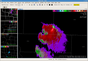
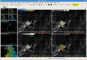
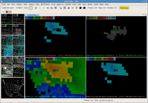
This storm took it’s time developing but maintained a persistent circulation throughout Brule County. Opted to go with a TOR based on the persistence and depth of the circulation combined with the az shear product. 3dvar also showed an increasing updraft. Storm is very far from the RDA, so there are some velocity quality concerns.
Month: June 2012
FWD: Supercells do Dallas
Switching WFOs was the trick. A pair of supercells over north Dallas were just putting out large hail about the time we swtiched. 15Z SREF composite indicators such as Prob of STP > 1 and SCP > 3 have bullseyed this area around 00Z, nice verification.
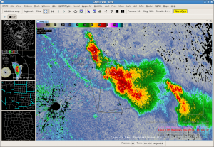
MRMS MESH shows a nice hail core in the eastern storm. Numerous reports of hail to tennis ball size have been received. The western storm, in spite of MESH values < 1.25″, had a report of golf ball size hail in Grapevine.
3DVAR has good updrafts (~13 m/s) and even better upper level divergence (11 s-1). Not seeing much in the wind or helicity fields yet. 88D velocity from KFWS not showing well defined mesocyclones as of yet. Though we did see a really pronounced 3-body scatter spike.
SNELSON/TY
FWD: ABQ We Have Left The Building
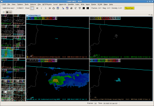
Switched domains to the FWD CWA. Ongoing supercell were producing hail over 2″ inches in diameter across eastern Dallas county. KFWS radar showing new supercell developing over the western portion of the county. Cloud top cooling product showed tops of >-21 degrees Celsius. Issued a severe thunderstorm warning based off both 88D reflectivity and cloud top cooling. Have since got reports of ping pong ball size hail.
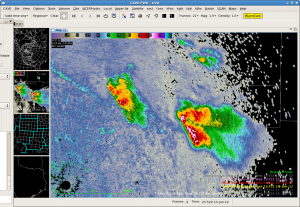
KFWS radar at 2335z (warning issued on both storms):
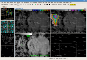
Cloud top cooling product about 30 minutes before:
Update 0014z: MESH has shown hail sizes around 1.5″. Most real-time hail reports have been ping pong size. Solid.
Update 0052z: The western Dallas county supercell has mirrored the earlier storm to the east, based off of reflectivity. Hail up to 3″ in diameter has been reported with the storm which is double what the MESH was suggesting. At the same time of the 3″ report near Grand Prairie, divergence aloft increased to 10.7 s-1 with an updraft helicity of 145 m/s2.
FSD: TOR for Beadle County!
FSD: CTC wins again
ABQ North: Perhaps a Breakthrough
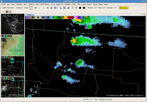
Updraft in north central Colfax county may actually push the severe limits. 40 dbz is reaching higher into the cloud (we are reaching here). The visible cloud presentation has become more intriguing. Lightning has also been detected with this thunderstorms for the first time today.
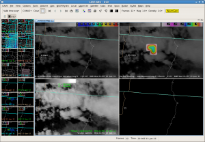
Cloud top cooling product has shown -11 degrees C, well below our severe threshold, but it is a start.. However, MESH is still underwhelming despite the slight increase. We are still not confident in much activity making off the higher elevations, and the latest run of the OUN WRF continues to support our forecast.
Cloud-top cooling product:
MESH at the same time (look closely, it;s there):
It’s getting bigger. MESH at 2214z is now up to 0.40″.
and as I write this, the temporary strengthening ceased. Now onto storms in the southern ABQ CWA.
ABQ South is now FSD ALL
ABQ: Comparison of NEARCAST and RAP CAPE
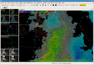
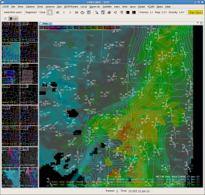
While waiting for convection to become surface-based, we overlaid CIMMS NEARCAST 780-500MB CAPE with RAP 850-700MB CAPE. As I mentioned in a post yesterday, I realize that these two CAPEs were not meant to be compared together as they are computed and sampled differently. But FWIW, I did the comparison at 2200 UTC and was surprised how well they compared.
The axis of CAPE in the RAP from NW of Roswell to the NE corner of NM seems suspicious, given the density of surface observations (see image). Other than that feature, the comparison seems generally good. Perhaps the RAP uses satellite estimates of theta-e or CAPE already. Something to research.
SNELSON/TY
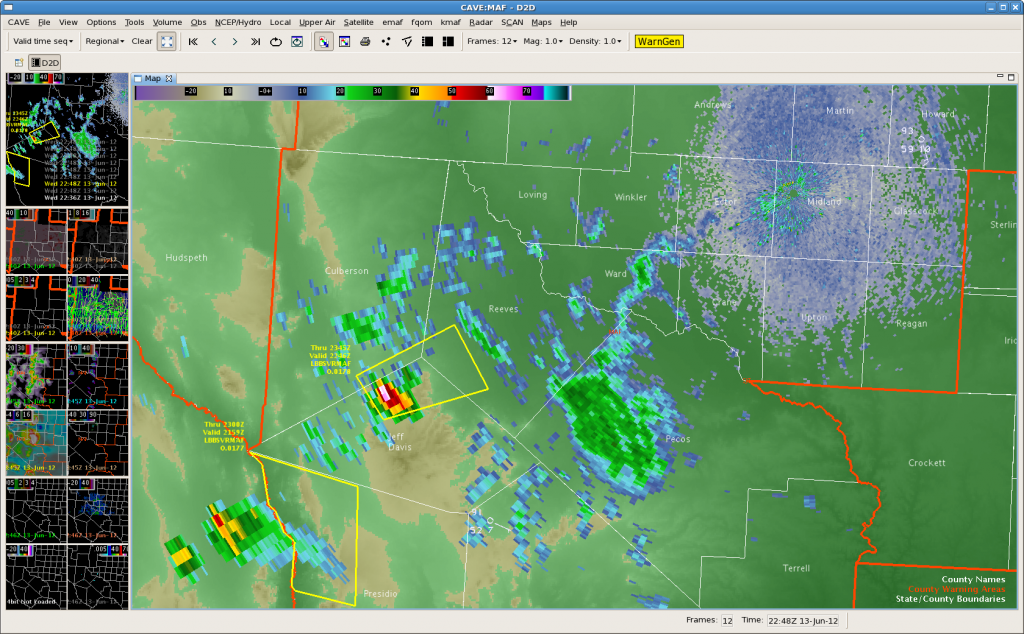
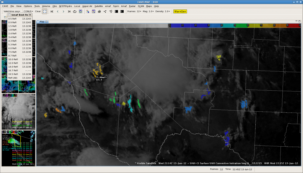
MAF Update at 23Z…Could This be the Start of it???
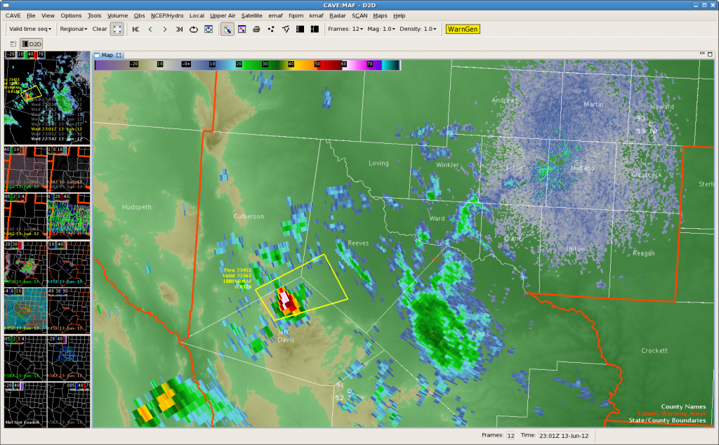
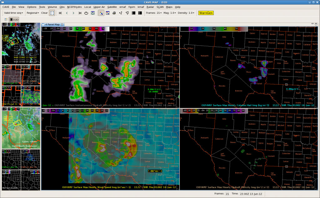 22Z OUNWRF just in still insists that we will be getting busier as storms develop farther east into the Midland area. Currently we have one warning out for Jeff Davis…southeast Culberson and Reeves Counties. We are wondering if the instability has been cut by the mid and high clouds moving across the area. It is “only” 90 degrees in Midland right now well east of the scattered light shower and isolated thunderstorm areas.


