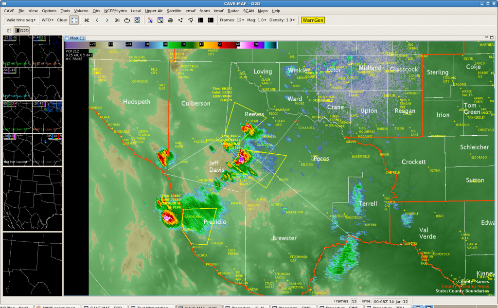
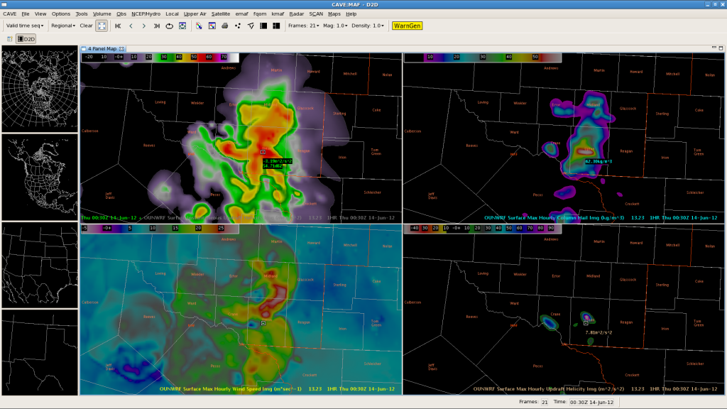
 We have warnings out on a few storms to the SW of Midland. Storms have increased SW of Midland past couple of hours and this is semi-inline with the OUNWRF forecast of increasing tstm coverage over the central and eastern zones through the course of the evening hours. The model has been consistently too robust on the coverage of storms and too east with the timing of storm placement.
Latest model run still shows some strong Surface Max Hourly Wind Speeds near 30 m/s in the first 1 to 2 hours but then indicates a broad weakened wind field around 20 m/s or less in the 3 to 6 hour forecast. Radar data suggests main threat with these storms would be large hail, and the OUNWRF has Max Hourly Column Hail around 64 kg/m3 just east of where the storms currently are in the next hour…which is verifying fairly close to current radar observations…just a bit too far to the east. Most WRF parms seems to be indicating a potential for stronger storms through 9 PM then a weaker trend with tstm intensities by 11 PM as the storms move east into the eastern zones.
Tim/JeffG


