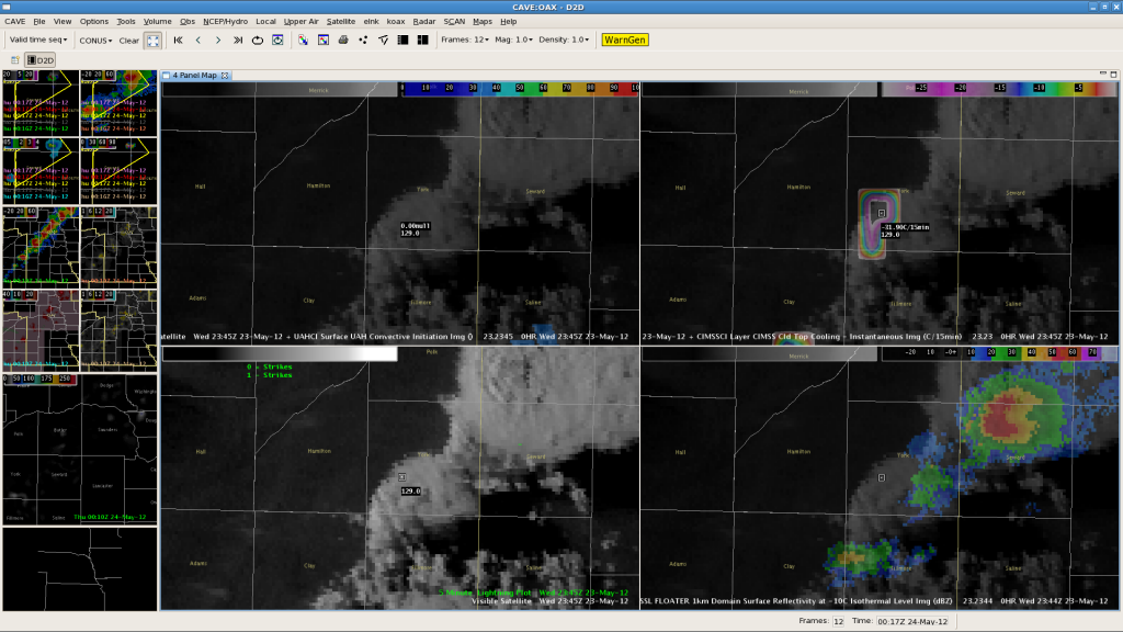
No computer-based algorithm is perfect, right? We had a failure of the Cloud Top Cooling (CTC). Here is a CTC image from 2345Z, in the top right panel:

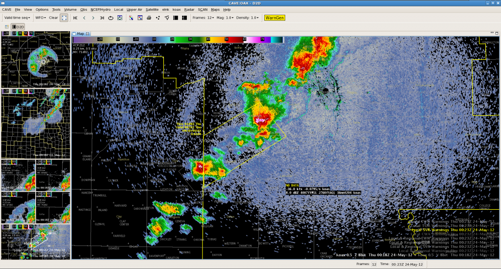
The developing storm over York County has values over -30C/15min, which is usually a strong indicator of a developing severe thunderstorm. As this storm developed and approached Seward County from WFO GID, a warning was issued based on CTC. Maximum Expected Size of Hail (MESH) was 0.87″ and increasing. However, as the storm entered Seward County, it weakened. No severe reports were received, and the MESH dropped pretty rapidly. Here is an image as the storm entered the CWA:

The moral of the story? You can’t win ’em all, CTC!–Gordon Strassberg for WFO OAX.
