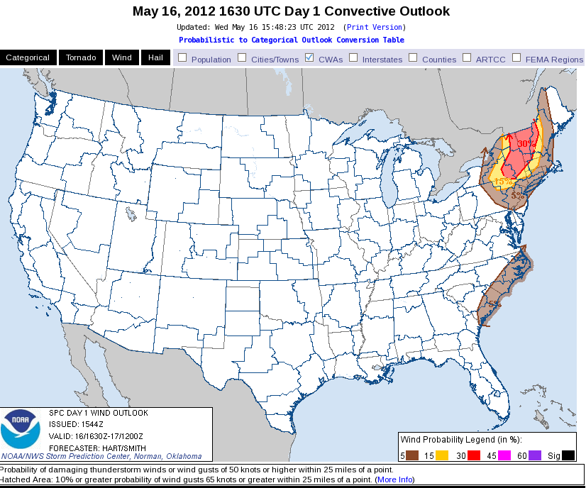
Yesterday’s outlook appears to be still on track. One strong northern stream wave is approaching eastern NY and New England along with a significant cold front. The front still has to interact with the axis of best moisture from the Hudson valley to the east and yet higher based convection is forming in the high terrain in northern PA to the Adirondacks. Convection should consolidate once the front hits the moisture in 2-3 hours. Deep layer shear is strong enough to generate supercells, however the majority of the convection may fall into small multicell forms, perhaps some bow echoes. Low level lapse rates from the Hudson valley to the west are strong but midlevel lapse rates are somewhat marginal (6-7 c/km). Thus I expect that large hail will be a threat though giant hail (>2.5″ diameter) prospects will be very small. Tornadoes are unlikely given somewhat weak low-level shear (10kts). Severe winds are much more likely as strong convective downdrafts are possible with the more intense storms. We have both teams in the northeast; Todd and Stephen are localized to BTV while Brian and Julia are taking on ALY. Convection has already initiated with the most coverage in BTV.
Meanwhile, steep, near saturated, low-level lapse rates have again initiated seabreeze convection along coastal NC. New storms may form further southwest into coastal SC. The Floriday play is somewhat muddied up by fairly dense high cloud cover. However instability is quite sufficient for thunderstorms and the upper-level system is approaching from the west.
Jim LaDue: EWP week 2 coordinator

