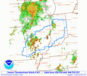
We are planning to work the event that is highlighted with an SPC Moderate Risk in Central Indiana south through central Kentucky and there already as a Severe Thunderstorm Watch in effect. There is sufficient deep layer shear, as well as some decent low-level shear for rotating storms, but the main threat today appears to be high wind. This will be a good example of how we might be able to use some of the MRMS products for wind warnings, which we haven’t had much experience with yet this spring. So we will start with localizations for Indianapolis IN (IND) and Louisville KY (LMK).
In addition, the GOES-R convective initiation products should get a good work out today, as the area covered by both CWAs is essentially cirrus free at the moment!
Greg Stumpf (EWP Weekly Coordinator, 14-18 June 2010)


