Click for animation. CI was 75% on another cloud, which began to show signs of getting sheared off not too long into vertical growth. The 1 min imagery showed that it was still trying to have growth going below that level, but it never managed to get its act together.
Jason Williams & CoonieCatEye


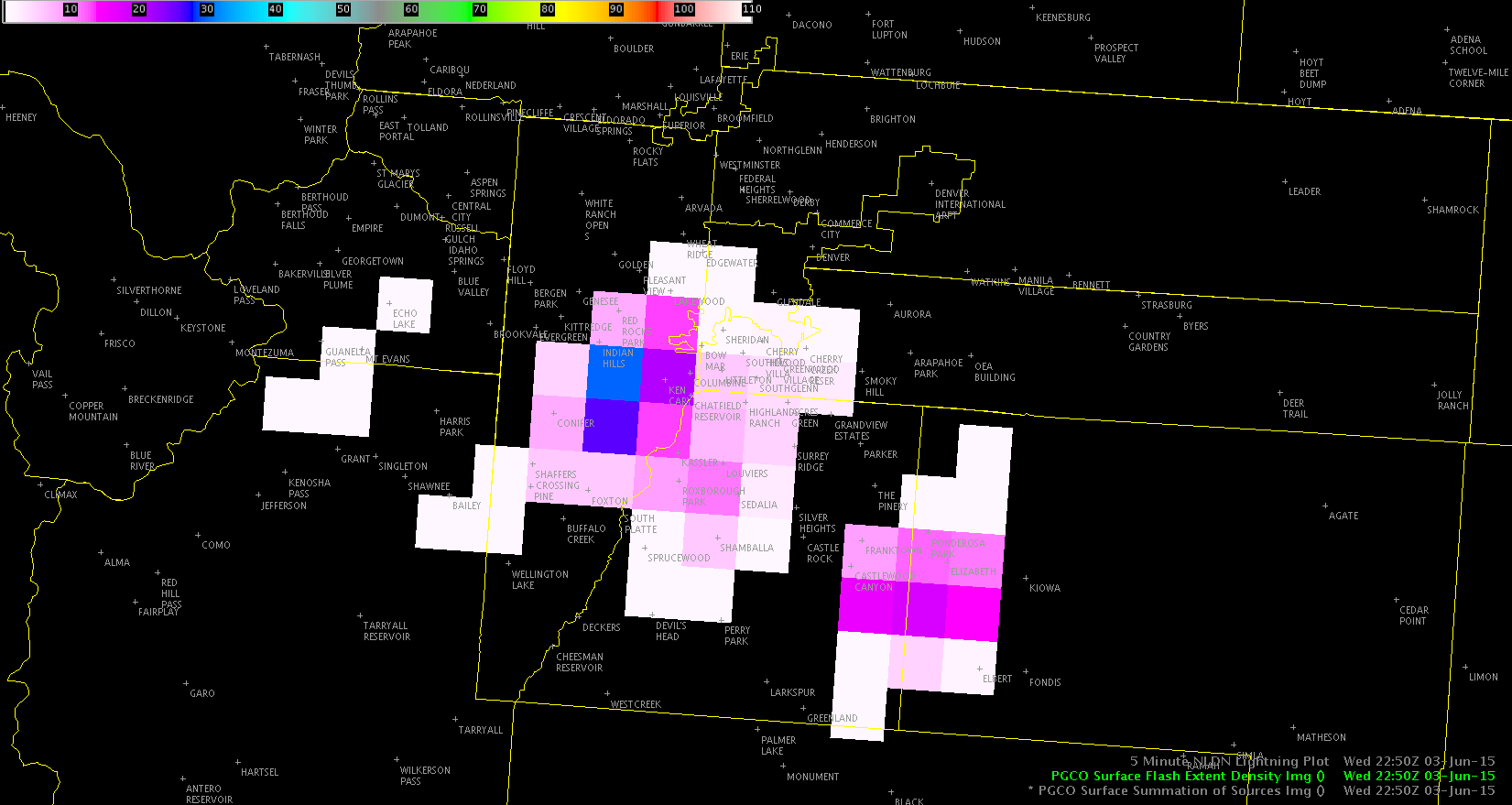
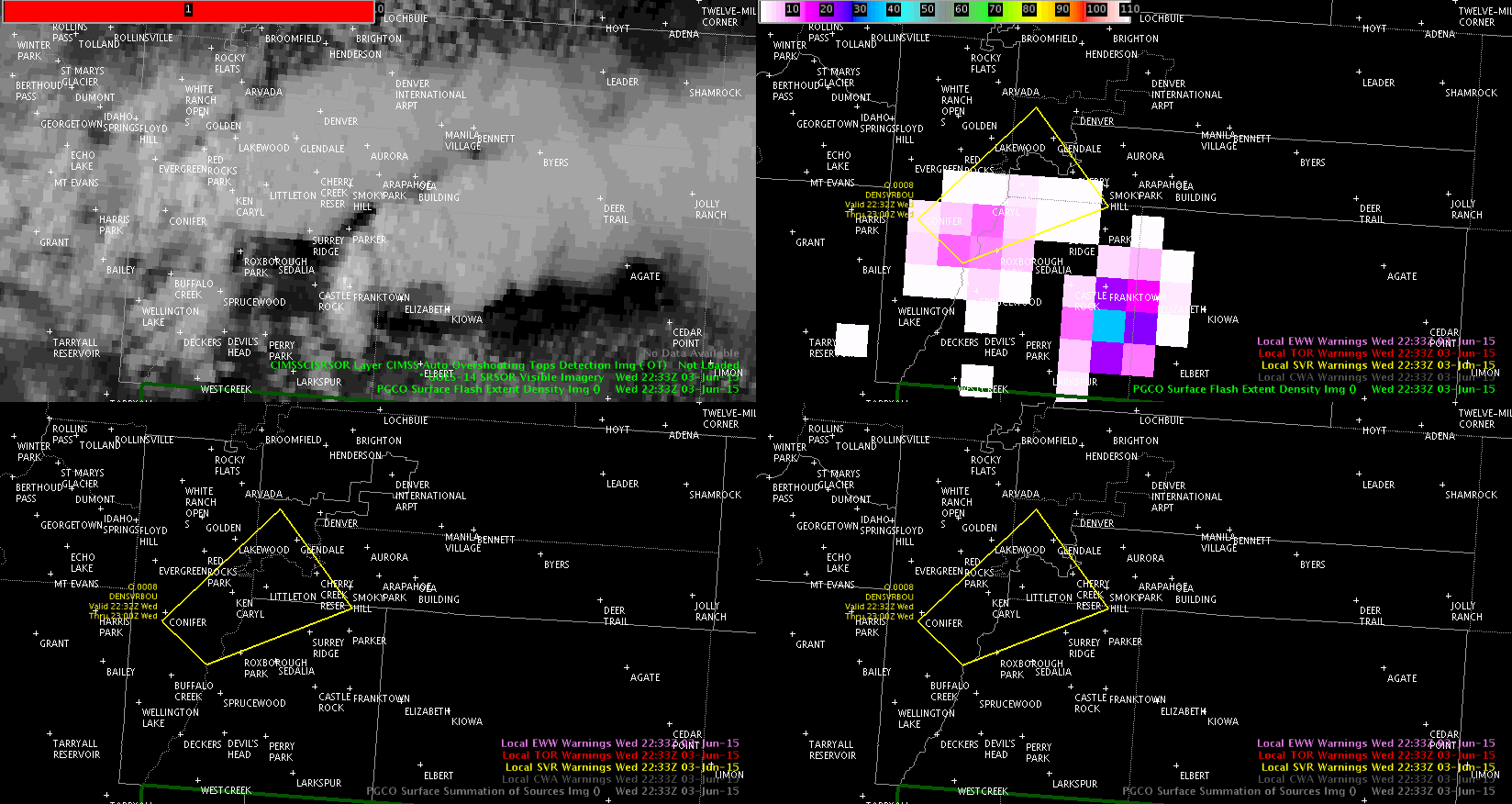
 2317z radar
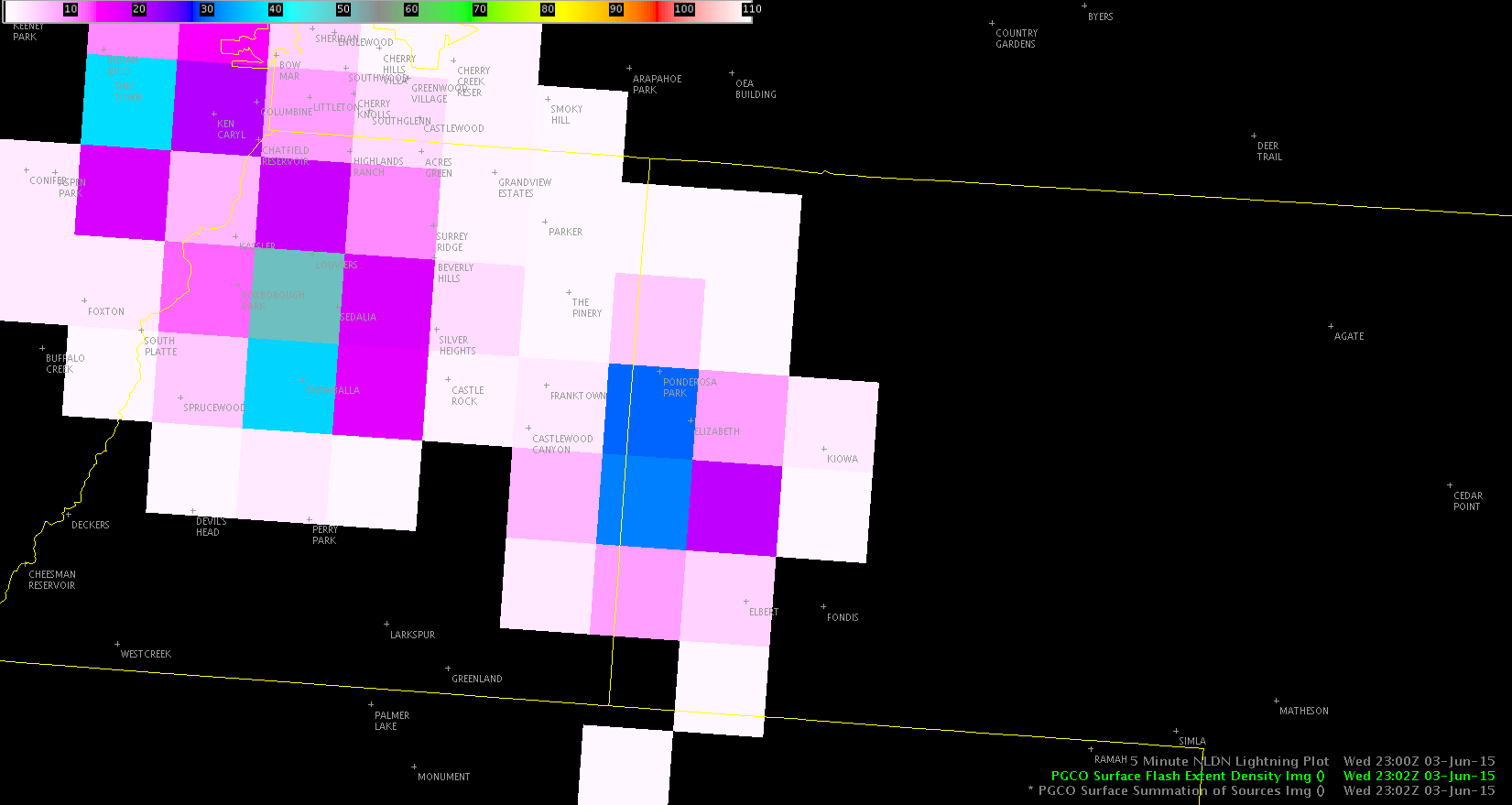
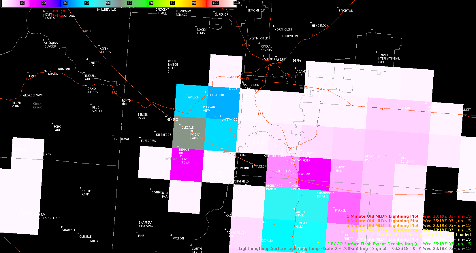 2319z PGLM
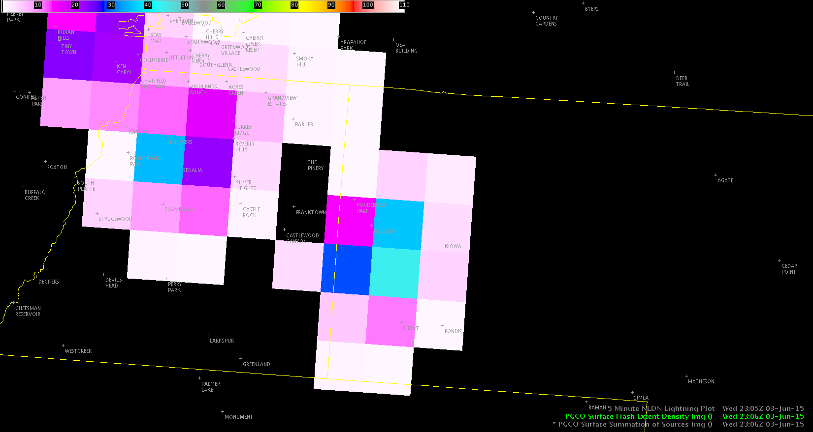
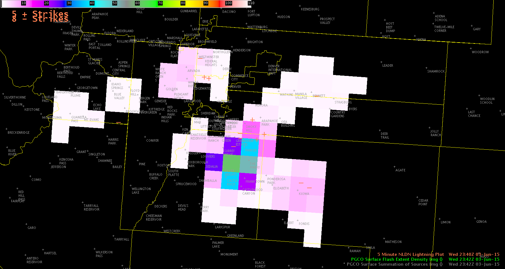
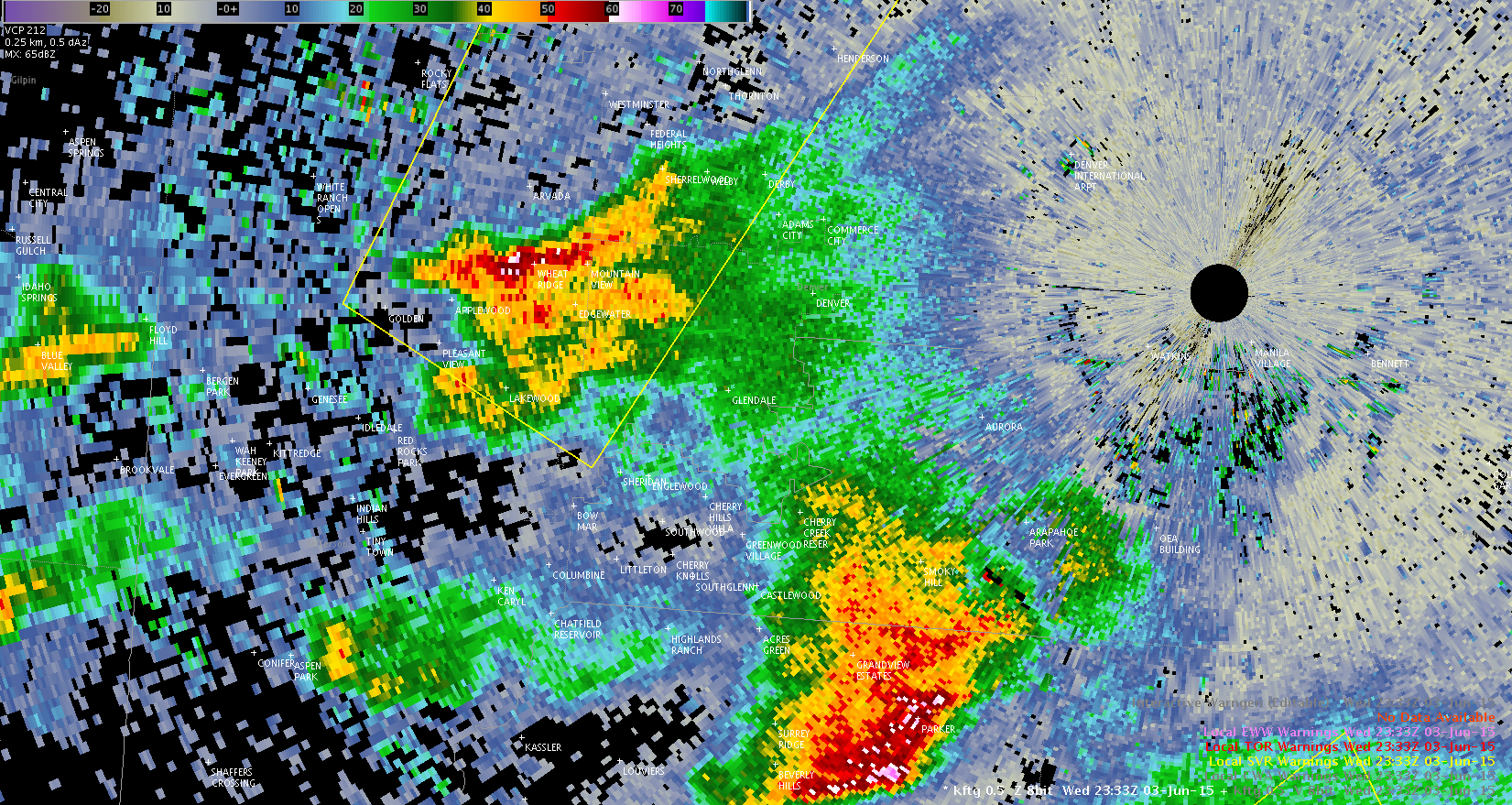 2333z radar
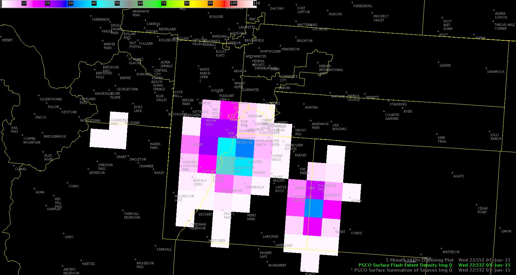