ILM Cell tracking

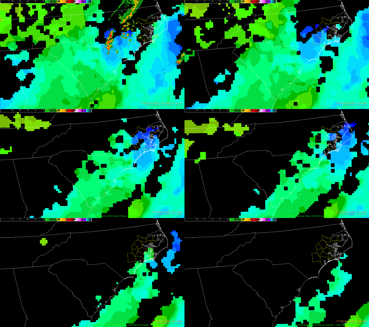
Example of cell tracking ‘handoff’ that affects accuracy of lightning time series
southern Bladen Co / northern Columbus Co around 1935Z to 1955Z.

three images show the sequence below.

This was a cell warned for severe hail at 1930Z
Tracking ‘split’ happened about the time that a non-severe, less-organized region of convection overtook the discrete, severe cell from the west.

1936Z:
0521 ILM CT 1936

1946Z:

0521 ILM CT 1946

1954Z

0521 ILM CT 1954

-Holaday

Tags: None

CI vs. radar imagery

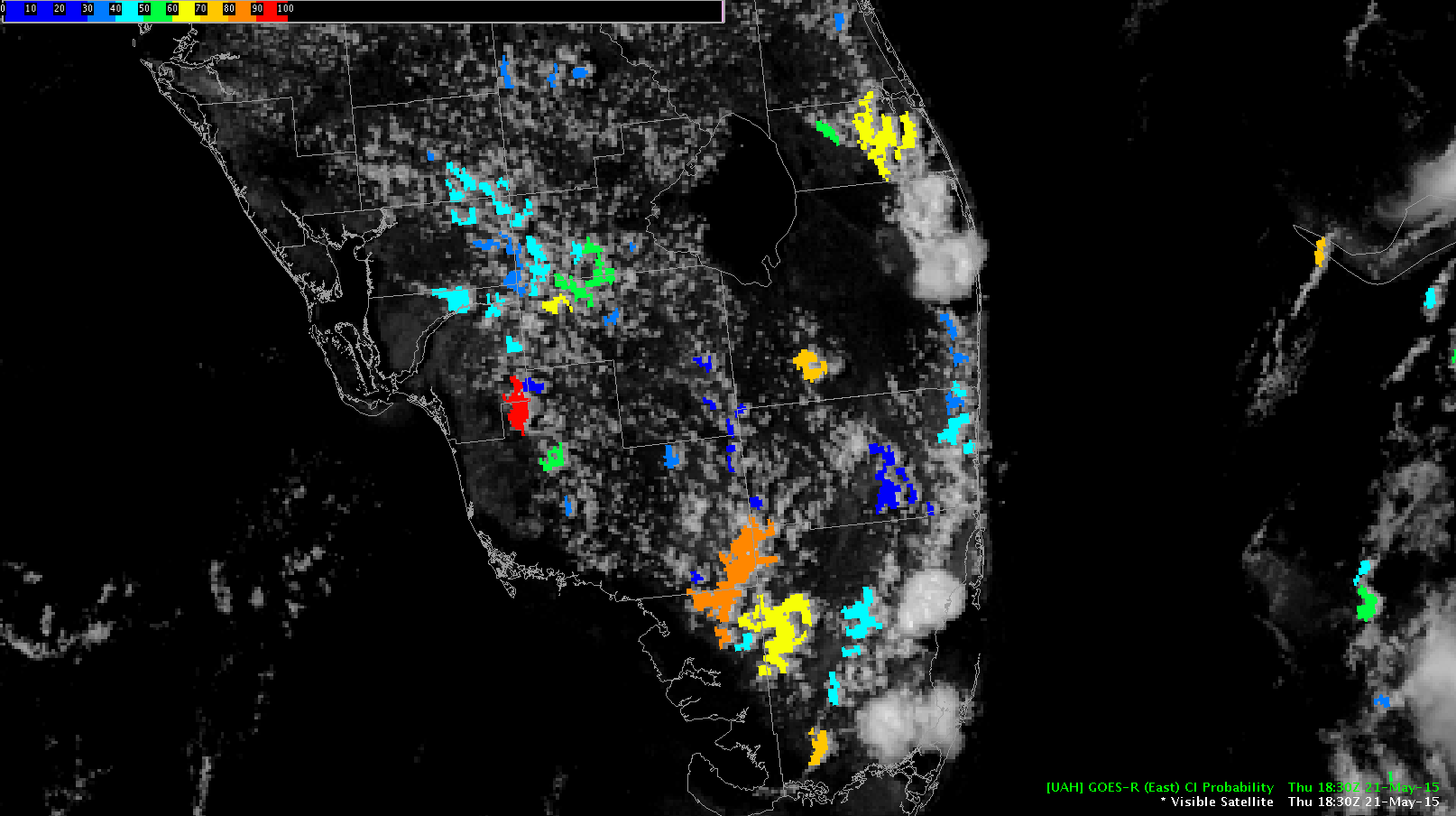
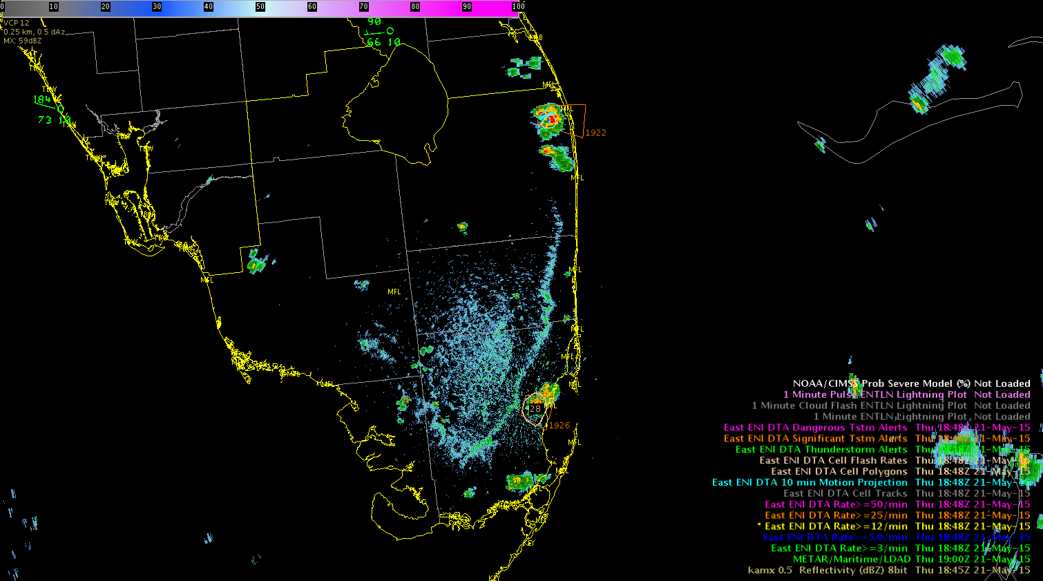
CI imagery across western Miami-Dade county highlighted in orange peaked at 86% at 1845z.  Over 30 minutes later at 1919z, a strong thunderstorm developed in this same area as seen in the below radar image.  This is further justification that the CI tool seems to work really well in pulse environments. CI 1845z radar imagery1919z

Tags: None

LJDA Sigma Jump of 7 and 5 Fail to Produce Impacts

At 1842 and 1843Z, the LJDA signal 7 and 5 sigma jump, respectively, which caused me to take notice (see image #1 below west of “Wayne” county name). On closer inspection, the raw data suggested a movement from 10-13 strikes per minute to near 20, then into the lower 30s over those 2 minutes. A radar image is also included from the case depicting the storm collapsing and never producing significant weather. Reflectivity data was unremarkable and ProbSevere remained in the 30s. No action was taken by the warning operator.

Is it worth using total strikes as a background filter when STD values are so small, and total strikes are < 20, in order to reduce FARs?

Rocky

1843Z_LJDA_7sigma

1843Z_LJDA_Ref2056Z

Tags: None

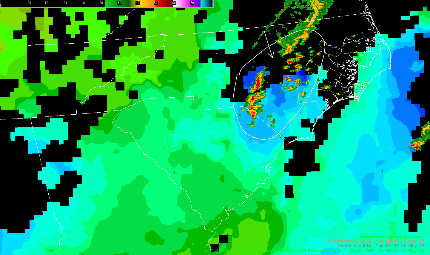
Nearcast Model Aides in Forecasting Severe End Time

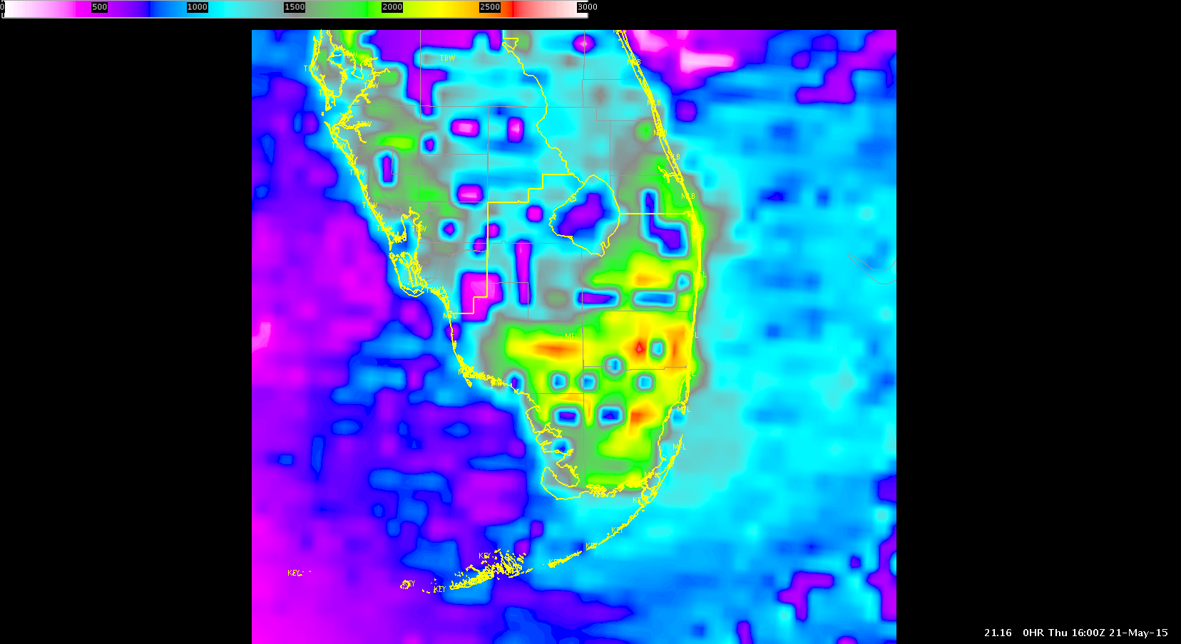
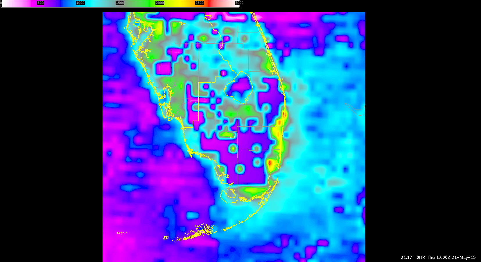
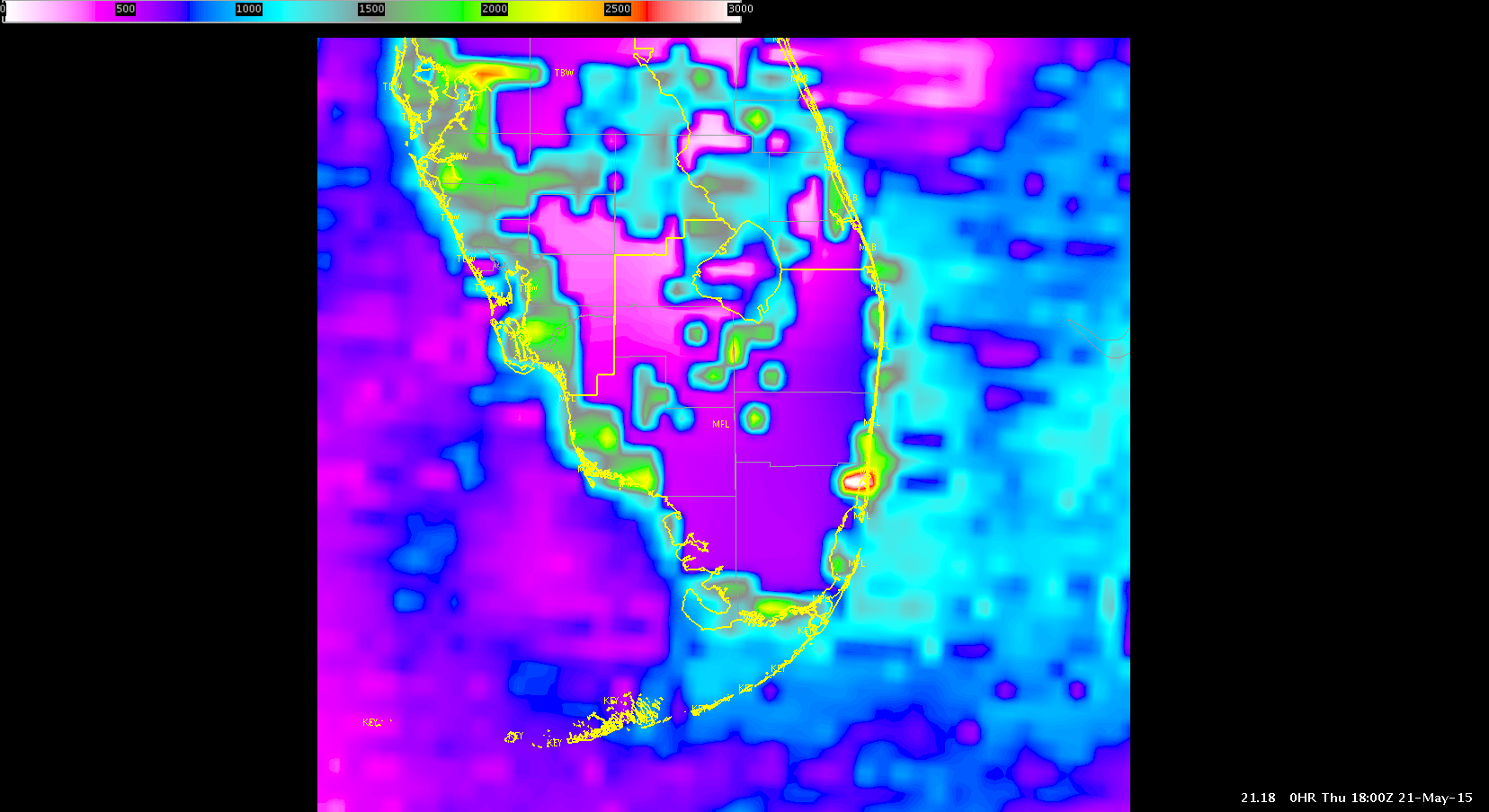
The Nearcast model vertical instability product had cloud/missing data issues, but still was able to provide some good timing on the eastward progression of the front through the Morehead City forecast area. Note the light blue pixel area (unstable), albeit only a small group of pixels, shifting east in the loop below.

This timing can help with severe weather staffing at a forecast office and with DSS messaging to customers.

RockyNearCast_Times_ConvectiveEnd


Tags: None

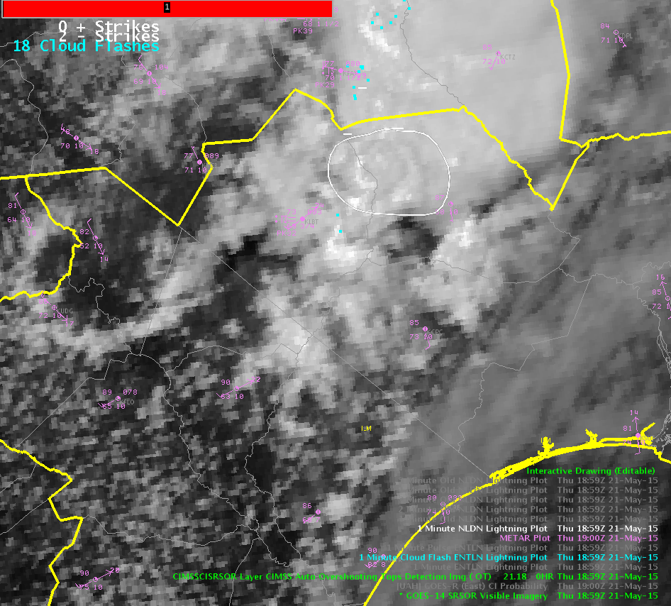
Towering Cu 1 min SRSOR data

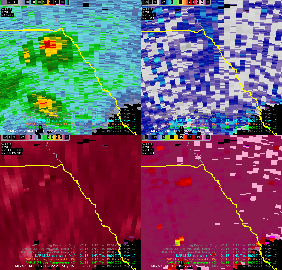
The 1-min SRSOR shows a towering cu over the ILM forecast area this afternoon. Out of all the scattered showers/thunderstorms, the 1 minute data easily shows which thunderstorm is rapidly growing. The KLTX radar data confirmed by 50 dbz up to 28 kft. The lead time by the SRSOR was probably 5 to 10 minutes ahead of the radar data.

1min_sat_ILM

ILM_radar_towering_cu


George

Tags: None

Deep thoughts on CI product

Sometimes CI is good. Sometimes CI is bad. -The End

Based on use over the past 4 days the product seems to be most successful in cases of isolated to scattered convection earlier in the day. In cases of more widespread convection with complex storm motion and multiple cloud decks moving in multiple directions it seems to get “confused” and becomes less reliable and less useful overall.

I do think it’s biggest strength is in helping to maintain situational awareness about developing convection…especially during the early stages of a convective event.

-snowstrm

Tags: None

CI Hampered by Cirrus Shield

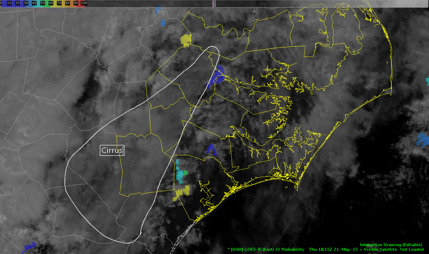
Working on NC, and looking for developing cumulus, CI seemed as though it was ‘turned off’ due to glaciation over a large part of the area with underlying boundary layer cumulus.

CI was overheard saying “I am so turned off by ice clouds”

Rocky


CI

Tags: None