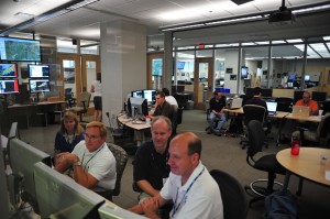
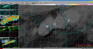
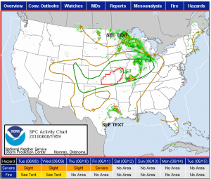
In a considerably ironic turn of events, we wrapped up the 2009 EWP merely (~10) hours before an EF1 tornado hit Norman, about 2-3 miles from the NWC…
As for the weekly summary, our forecasters for the week were:
Bill Ward (NWS Pacific Region HQ, Honolulu, HI)
Daniel Nietfeld (WFO Omaha, NE)
Gail Hartfield (WFO Raleigh, NC)
Steve Kieghton (WFO Blacksburg, VA)
Dan Miller (WFO Duluth, MN) [Observer]
We spent the early part of the week running realtime MR/MS and LMA IOPs, and the last couple of days running realtime and archive cases for PAR and CASA, as well as an LMA archive case. Summary comments follow:
PAR
Used vertical slice cross-section.
Other circulations to the NW of the main circulation were somewhat confusing. [20090513 Stanley Draper Tornado]
Didn’t do much looping, and now that we are looking at it during the debrief, it looks good.
Would be nice to have a feature following cross-section.
Used CAPPI to help pick out storms that needed warnings.
Put CAPPI just above altitude of cap/lid, and when echo showed up, gave indication that storm broke the cap.
Could see evoluation of MARC signature and then surface divergence.
CASA
How would they use this in operations? Have the CASA data of multiple radars as a passive display, and use the 88D for the deep interrogation.
May need a separate person to watch the CASA radars, and communicate to the warning forecaster
Would be nice too have real-time dual-Doppler wind analysis, instead of the 10-min old 3DVAR. Real-time could also to retrieval to get omega field.
The sector wedges were not always centered on the correct spot during our real-time event on Wednesday.
Works better with isolated storms, but not lines of storms. It is trying to satisfy many users, and NWS is only one of those. Need data for model assimilation, etc.
Jumping around from radar to radar may cause folks to miss something important.
QLCS case on Wednesday – these are the kinds of cases that can hurt verification numbers – they are such quick spin-ups and are tiny. OAX realizes that the 5-minu updates of 88D are not sufficient. Time flew by and couldn’t believe how much time had gone by, but did not feel fatigued. Feels that once we can adjust to the rapid time evolution, we will appreciate this.
This group really feels that they will adjust to the rapid refresh and data “overload”! Has faith that WDTB will provide good training to deal with this.
LMA
Regarding the 20090210 archive…
Was nice to see spike in VILMA just before circulation tighten up. Tornado followed the peak. “Lightning jump”
Helpful additional tool to aid confidence.
10k GLM proxy was quite an adjustment. Prefer high-res.
Could be useful for investigating tropical tornadoes, sea-breeze convection, flash flood situations with warm rain processes with little CG – is there IC activity?
Very beneficial with winter storm convection, thundersnow, to help with snow rates, etc.
Would like to see these data sets with dual-pol data as well.
MR/MS
Forecasters, though warmed up to products like MESH, still feel an understandable need to to “calibrate” the product for their own uses.
There were concerns about the apparent discrepancy between some of the MR/MS “height of” products as compared to the AWIPS readouts. More often than not, an additional (temporal) update would bring the two datasets into better agreement.
Overall Experience
Though we didn’t get to discuss the overall experience from the group, we did ge tsome good feedback on te idea of Decision Support Tools…
Kurt [Hondl] asks what kind of decision support tools could be used that has all these data sets available…
Would have to be pretty intelligent and robust, and not too many alarms at once.
But still would feel most comfortable going to the base data.
Will be a screen real-estate issue.
What’s the most effective way to visualize the base data. Plan views, cross-sections, color tables, isosurfaces, etc.
DSS tool should have the capability for users to set up their own “dashboard”.
The DSS tool should be tied to providing procedure suggestions.
Is this the SCAN model?
SCAN failed because the underlying algorithms fail. Also, too many false alarms, hard to congifure and shut off alarms.
Kevin Manross (EWP Weekly Coordinator, 8-12 June 2009)


