The Spring Warning Project shift for Wednesday 5/20 will be 12-8 pm. We will begin in the Development Lab.
Gabe Garfield
EWP Operations Coordinator

Image of a severe thunderstorm in Young county in the extreme northwest portion of the DFW CWA. This cell had a 94% SVR PROB rate with 62 dbz to 45000 feet. This cell also saw a good spike in the Earth Networks lightning time series.
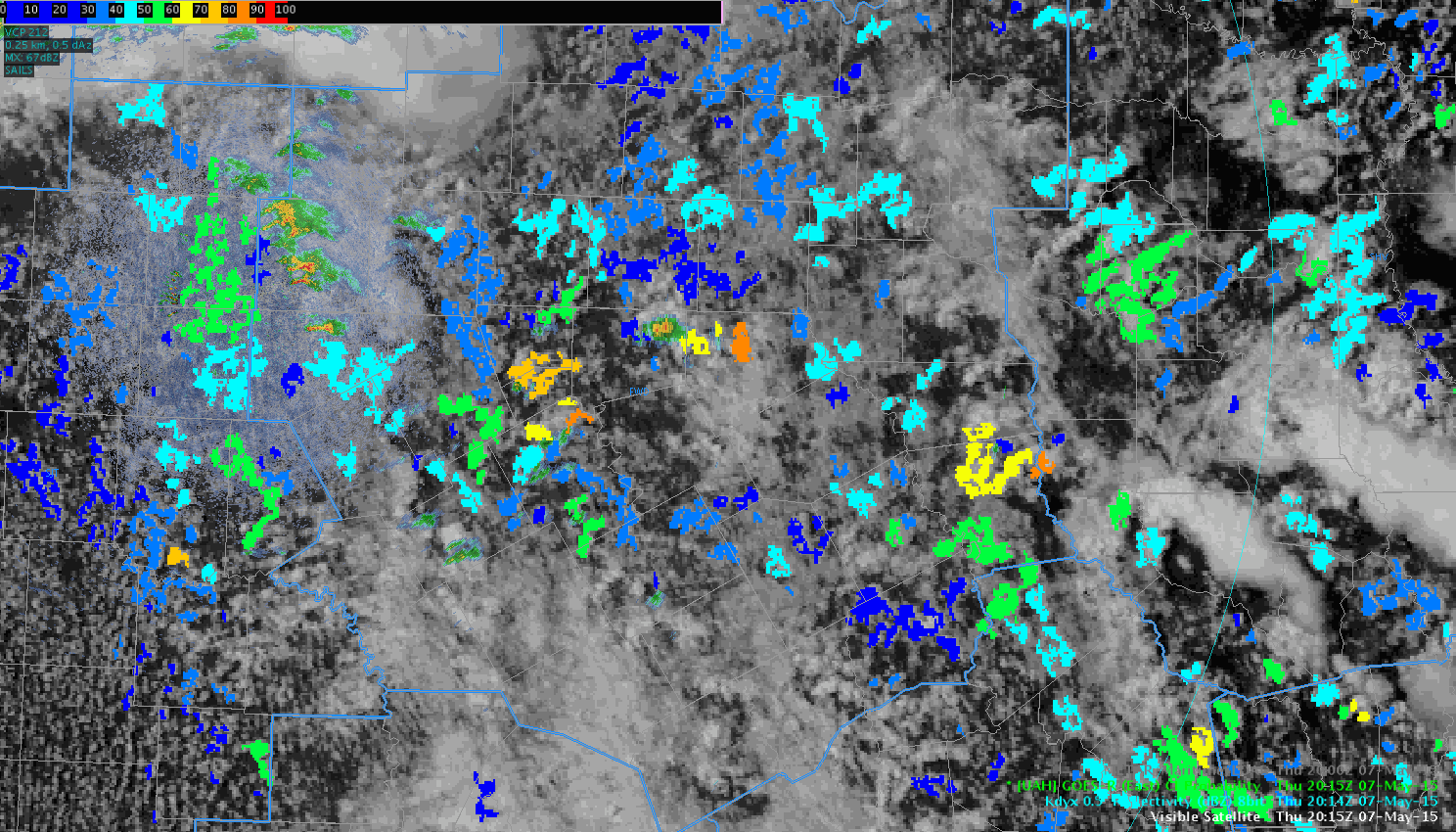
This region of partly cloudy skies in the northwest section of the DFW CWA remains relatively untapped. Latest GOES-R super rapid scan shows more clearing in this area and will monitor for potential development. NUCAPS data after modification shows steep low level lapse rates…so convective initiation should be rather easy.
Issued severe thunderstorm warning for hail. Prob severe ranged from 90 to a maximum of 94%, which lined up well with with my warning thoughts.
With the OUN cwa quieting down, decided to take a look at how the convective initiation product was working this afternoon. The animated image below (click to view), highlights a couple areas (both in the center and upper left of the image) where the CI algorithm picked up on the development of showers and thunderstorm. Meanwhile, in the upper right hand part of the image, there were several instances where the CI algorithm showed probabilities over 60% and nothing developed as of 2245Z.
 -SRF
-SRF
LBB remains a convective mess. Overall storms have been sub-severe. The flash extent density for a cluster of storms in the extreme SE portion of the CWA caught my eye.
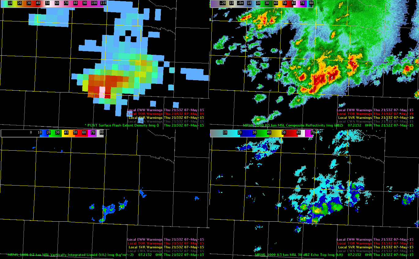 The two light pink pixels were around 56-57 (50 being the general minimum for severe storms) at 2153Z.
Looking at the other guidance we could use today, there was a 3 sigma lightning jump and a prob severe of 90% at 2149Z.
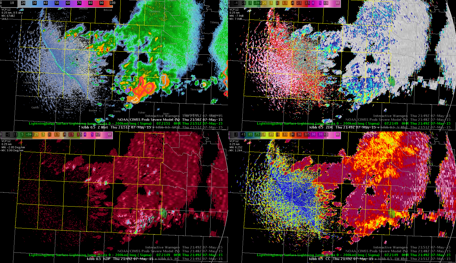 I went ahead and issued the warning based on the lightning and prob severe guidance, despite the storms not looking overly impressive on radar. As has been the case the rest of the day across our area, there have been no storm reports.
-V. Darkbloom