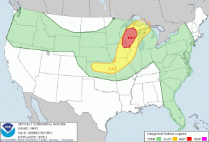
We’re operating today during the first mod risk of the experiment, however, that is not where we are focusing today… at least not initially.
In order to try and get lightning data into the experiment this week, we’ve initialized in the Sterling, VA and Melbourne, FL domains.
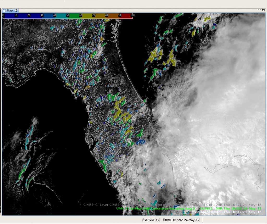
For the FL domain, we’re hopeful that storms will get going as the sea breeze front sets up across the state. Already, the UAH-CI product is flagging cumulus for development (consistently 50-60%) along the line from Sanderson to -Orlando to just northwest of Okeechobee.

For the DC domain, the CI alg is also flagging development generally a bit lower on the probability though. A region of SBCAPE of >1500-2000 J/kg extends from eastern NC to over much of the LWX CWA, so it appears possible that we could at least see some convective development across some of the DC LMA though likely only marginally severe.
Our observers and some PIs are keeping an eye over central WI and the associated moderate risk region for development of surface based storms (as of now all development across Minnesota appears to be elevated). Currently instability is limited across much of the region, but we do expect additional destablization with daytime heating and enhanced lift as the cold front moves in.

-Kristin Calhoun, Week 3 Coordinator

