

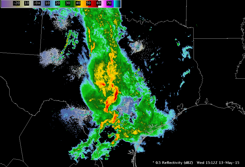
In contrast to yesterday, today our forecasters received a warm welcome to South Texas, operating close together in Houston (HGX), San Antonio (EWX), San Angelo (SJT), and Midland (MAF). Forecasters were once again exposed to an blend of ongoing convection caused by a very large precipitation shield to the East and fairly consistent developing multi-cellular/linear convection in southwest Texas ahead of the dryline and inside a narrow corridor of instability. Today we saw extensive evaluation of the ENTLN lightning trend graphs, Lightning Jump, ProbSevere, and GOES-R CI and had a fair amount of coordination between teams of adjoining CWAs.
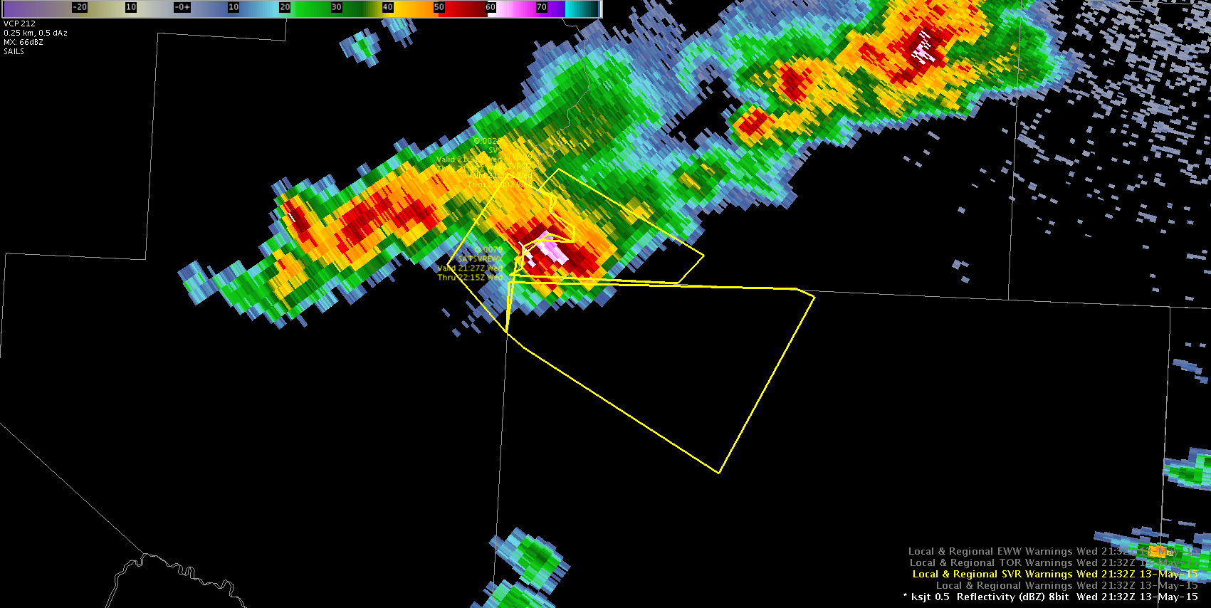
In an EWP first, each of the three teams issued a warning covering a single storm from three different CWAs. After a round of applause, forecasters were back at work.
Overall, an interesting day after a fairly pessimistic morning briefing. Here’s hoping for a strong finish tomorrow as we will most likely continue operations in West Texas.
-Darrel Kingfield, CIMMS/NSSL Research Associate & Week 2 EWP Coordinator