

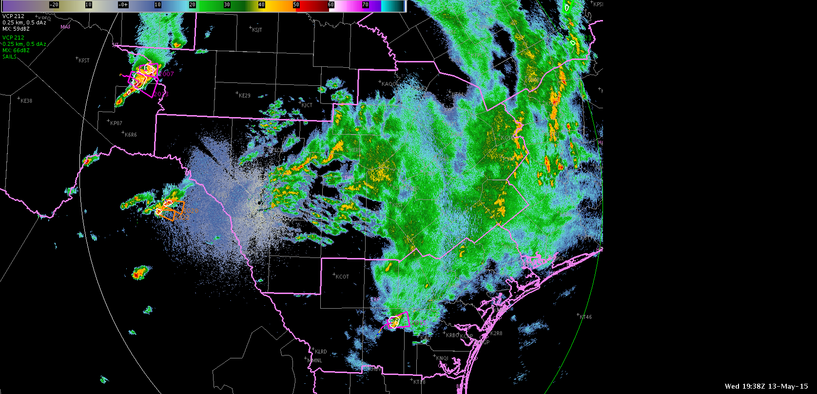
One good thing about these ENI alerts is using them in a large scale picture. This doesn’t help “too” much at the local WFO scale but looking at a swatch of tstorms over a large regional area, you can easily pinpoint the stronger storms. I see a lot of aviation impacts with this in terms of CAWS issuance and Convective Sigmets. They look at the entire country for convection and this can help draw their eyes to the strongest storms.
I can also see the ENI alerts being useful for storms coming from Mexico. It may not have good radar coverage but with the probsvr and the ENI, those offices can better see these storms coming into the area.
Lauren13