
2017Z
A line segment coming into the far NW corner of the Indianapolis CWA (Warren and Fountain counties) has shown consistent weak detections on both the NTDA/NMDA algorithms. While not terribly impressive on reflectivity, the cell at the northern end of this line does show signs of a rear inflow jet on velocity data, and the NTDA/NMDA detections have been on the northern gradient of this area of slightly enhanced inbound flow. The 0217Z scan has shown the highest NTDA probability so far, with 42%.
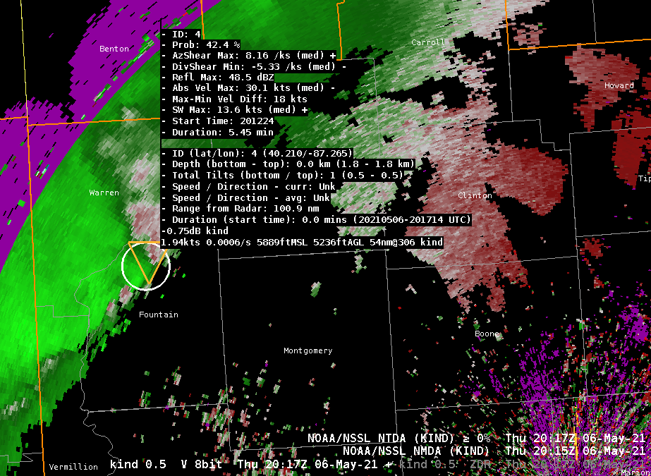
The lack of a tight circulation, or any higher wind speeds (abs vel max of only 30 knots) is likely keeping this feature from receiving a higher probability. Given the mesoscale environment and the way this storm is behaving, this seems reasonable, as a tornado does not appear imminently likely. With that said, it is definitely good performance by the algorithms to be continuously and (mostly) consistently tracking this feature on its way inbound into Indiana.
–Insolation
2115Z
The line segment moving ESE through the Indianapolis CWA has become a mature outflow-dominant feature. Given the environment, which is characterized by somewhat dry boundary layer conditions, the overall tornado potential is not expected to be very high. With that said, this line segment has occasionally had areas where there have been small-scale surges, in addition to a fairly persistent area of weak/broad rotation at the northern end of the segment. The NMDA/NTDA algorithms have done a very good job tracking these features as they appear and disappear, with generally low probabilities (no greater than 40%) which seem reasonable for the environment.
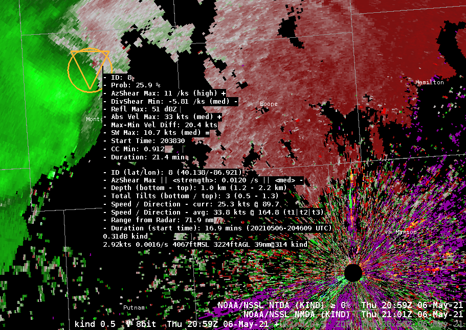
–Insolation
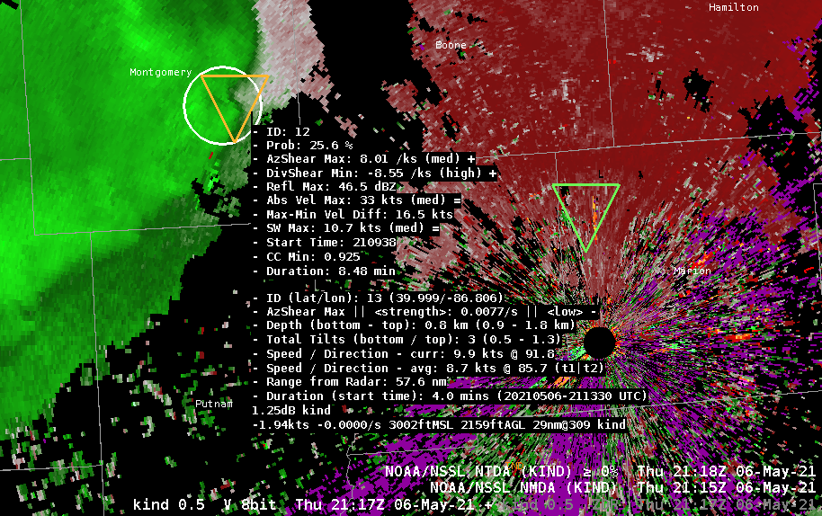
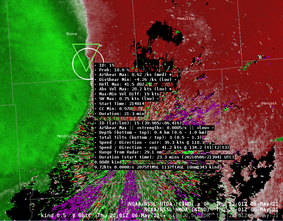
2208Z
The convection over the IND forecast area has weakened significantly, and the velocity fields are characterized by a long arc of outflow with no strong values. It is likely that this gust front is producing marginally strong winds (40 MPH) based on radar appearance.
Nonetheless, there has been one consistent kink on the line, which has persisted since the 2117Z image posted earlier in this blog. While this feature is very weak, and certainly not worthy of a tornado warning, both algorithms have fairly impressively continued to track it with low-end detections.
–Insolation