

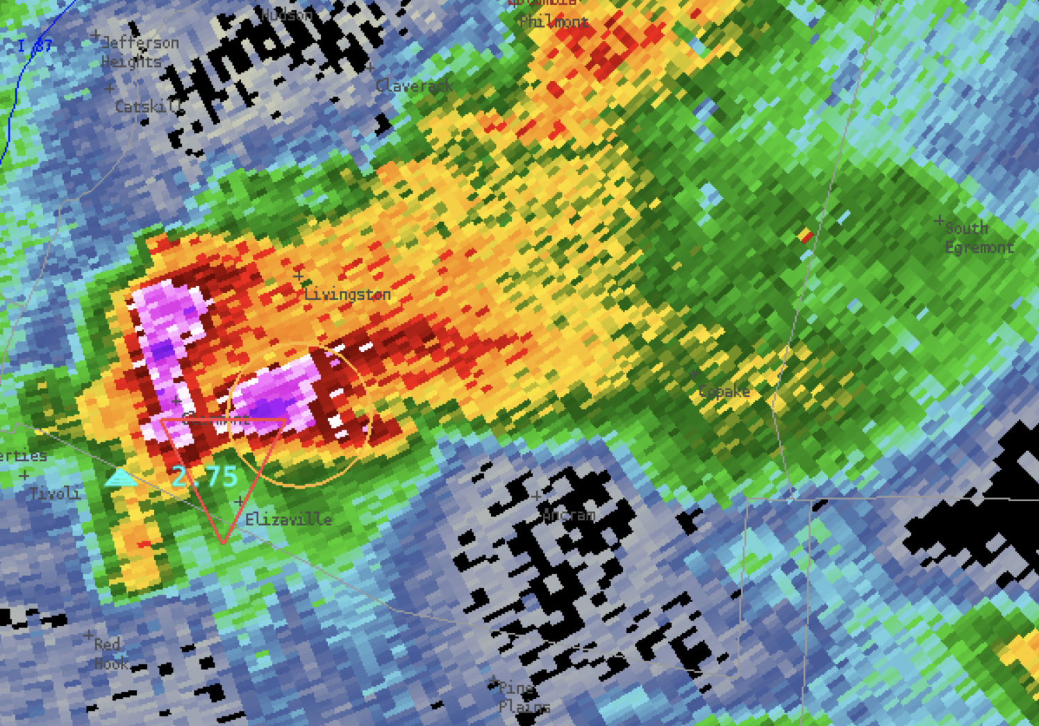
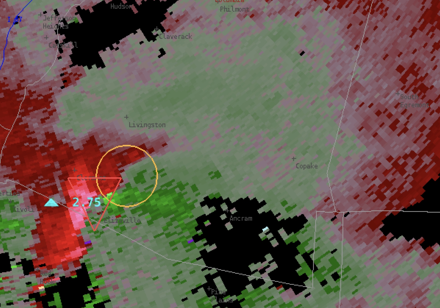
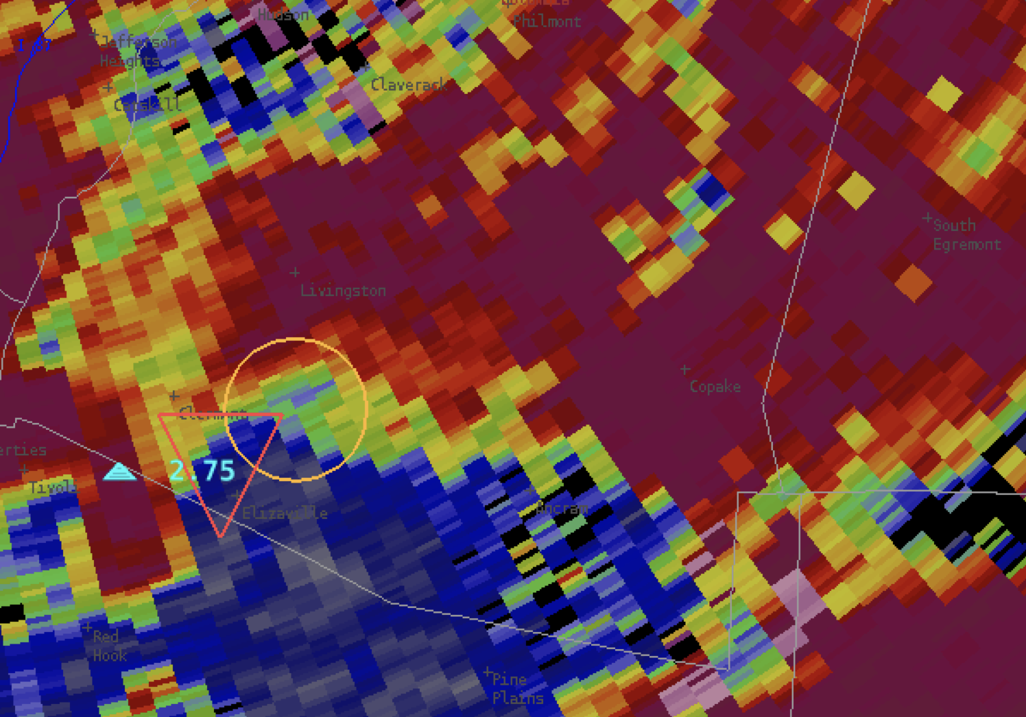
Looking at the area where the NTDA & the NMDA overlap in the images below, seems to indicate a large hail core where reflectivity is approximately 40 dBZ and higher, and a three-body scatter spike where reflectivity drops to less than 40 dBZ. The NTDA is indicating a probability of around 58% but the storm looks rather messy at this point with several of the highest inbound velocities occurring in areas where velocity is suspect due to the hail spike.
-#ProtectAndDissipate