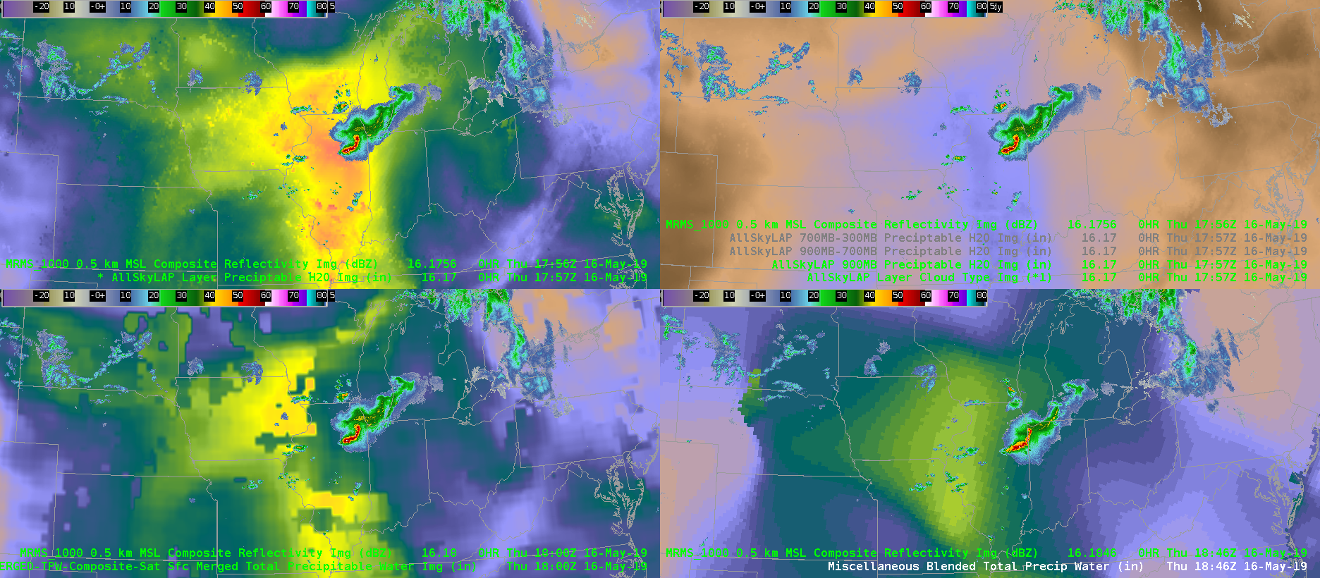
Here’s just a quick example of today’s TPW over the Midwest where a complex MCS and discrete supercell are located. The blended TPW is very low-resolution and therefore you miss the enhanced values that might be located over IL compared to the rest of the upper Midwest and southeast U.S. The AllSky products in IL are mostly using GFS, which may or may not be reliable, but at least it gives a better emphasis and resolution in where to focus your attention….as well as data underneath the severe storm complex. Over central IL, the TPW values are around 1.5 inch vs. the 0.9 inch for the blended TPW.
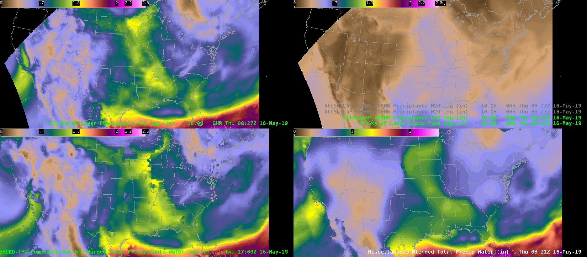
Animation below shows: Upper Left AllSky All Layer TPW, Upper Right AllSky sfc-900mb TPW, Lower Left Merged TPW, Lower Right Blended TPW
Below is a screen shot of the MRMS loaded at a similar time over the TPWs to see the impact of the cloud cover.