

Corpus Christi —
In investigating the environment we’ve deemed the convection to be more or less dependent on synoptic forcing via the cold front dropping southeast.
A
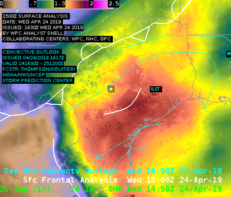
In A, plotted is Total Precipitable Water along with SPC Convective Outlook and analyzed fronts. A couple of things can be noted: TPW is very high under the Slight Risk, and it is displayed very nicely with good resolution contained within the gradient. This is a good example without going into too much detail about how our environment is primed for severe weather. However, NUCAPS Gridded Data has not come into our area as of 20z. This makes it hard to test the product and how it captures the boundary layer.
Now, we wait.
B
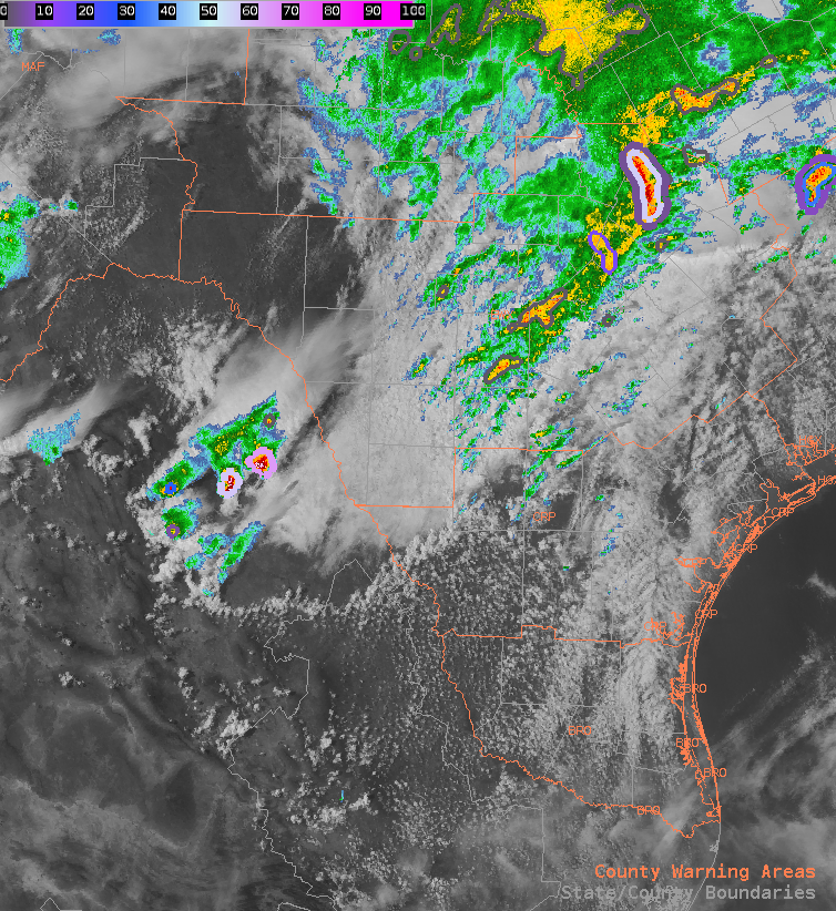
As we wait for the cold front to drop SE, our attention is focused on convection happening in NE Mexico (pictured in B). These cells popped up right along the CAPE boundary between values of 300 j/kg to 1500 j/kg.
C
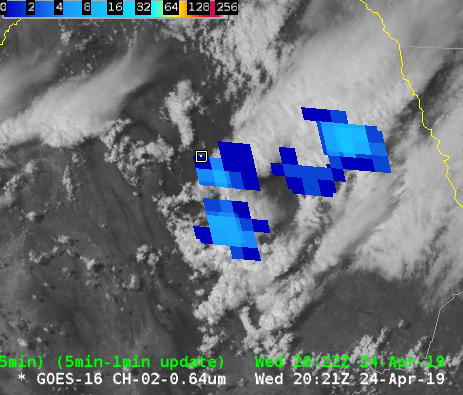
As can be seen in C, the GLM has indicated these storms contain lightning, thus they are intensifying in nature. We will now be monitoring the hail threat.
-lakeeffect