PRIOR to the Milam/Burleson County tornado warnings that you can read about below in other blog posts there was a tornado near the Texas A&M Campus in College Station. See these tweets:
- https://twitter.com/cgar1999/status/1121171711855034370
- https://twitter.com/jeanette_wx/status/1121171983633350661
- https://twitter.com/KAGSnews/status/1121205013236391938
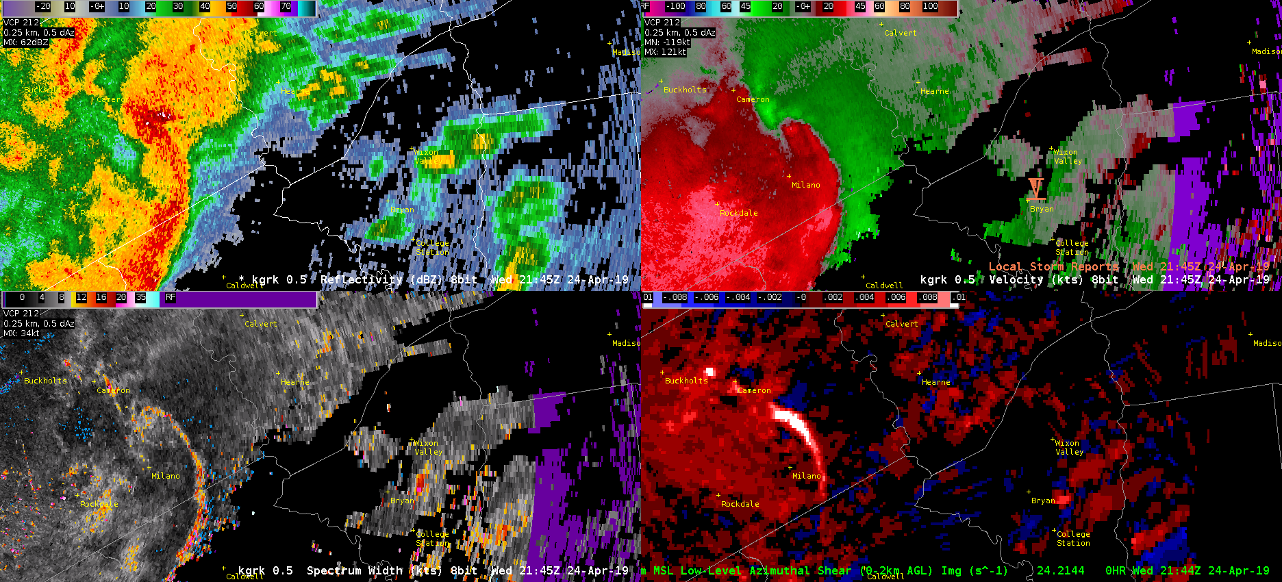
If you looked at the image below you would not really be concentrating on the storm (I use the term ‘storm’ loosely) near College Station on the right side of each panel. Based on velocity, AzShear, Reflectivity your focus would be the bowing line segment to the west that would soon produce gate-to-gate velocity signatures south of Hearne.

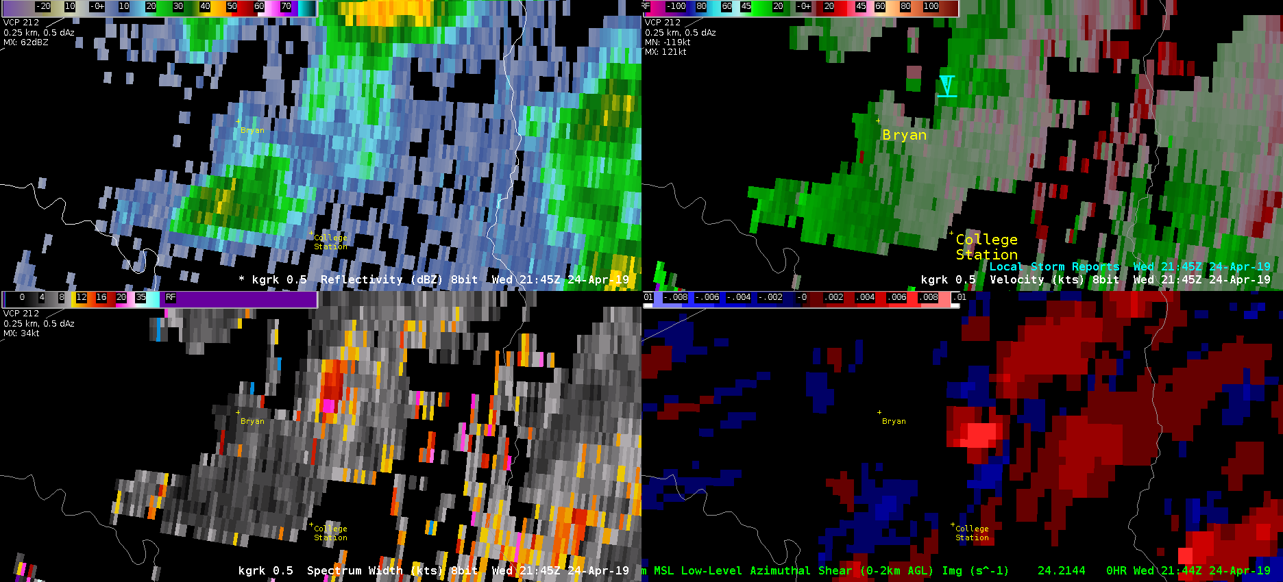
If you were to zoom into Bryan-College Station though a few things begin to jump out at you. Mainly the high Spectrum Width, the relative maxima in AzShear, and a VERY weak couplet looking signature in velocity (look near the blue Tornado Icon). This is the time that the tornado was reported. The good news is that Spectrum Width picked up on the turbulence in the storm, and AzShear does have a local max, but the values are only 0.007 s^-1 compared to 0.014 s^-1 at the bookend vortex to the west. This scale only goes from 0 to .01 s^-1.

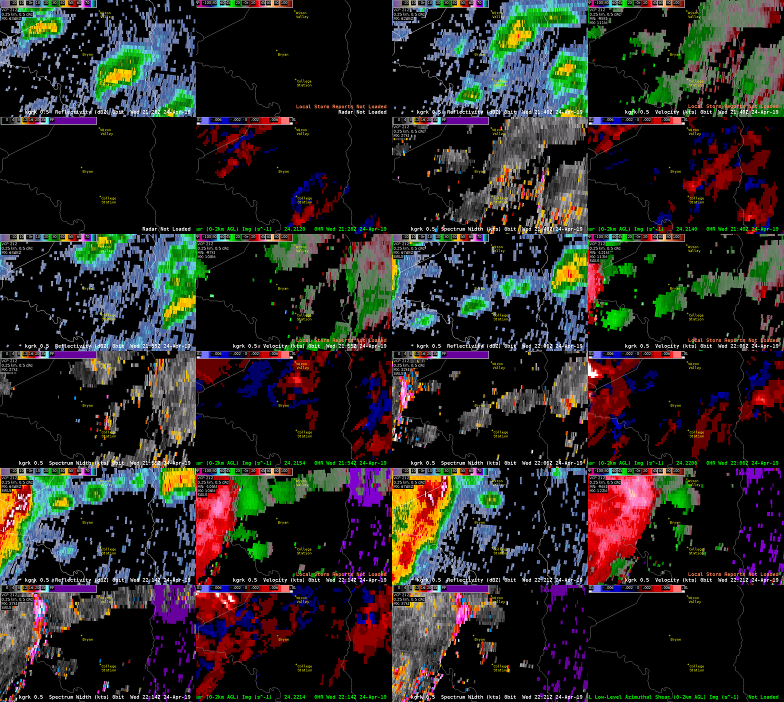
The velocity signature does get slightly better in the 2149z. This is probably a quick spin up due to boundary interaction, but it is shocking that this little SHOWER produce the tornado when the larger storms to the west produced NO reports as of now (0026z). The good news is that there were local maxes in the AzShear and SW, but not enough that these would be your focus of course.

ProbSevere never pinged the storm…and there were other indications in velocity, AzShear, and SW with other showers that were similar to the tornadic College Station storm. Oh the joys of quick spin up tornadoes due to boundary interactions in Central Texas!
-Alexander T.
