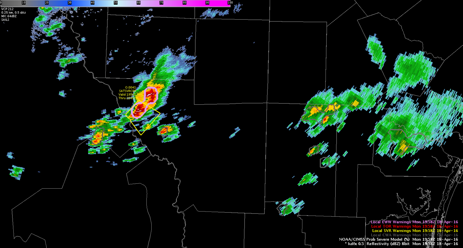
Initial cell as weakened below severe limits with a secondary storm strengthening directly to its south. Overall thoughts on PROBSvr remain unchanged as it seems to lag behind observed radar trends. Traditional radar interrogation methods (50 dBZ core above the -20C line) continue to provide greater lead-time for warning decisions.
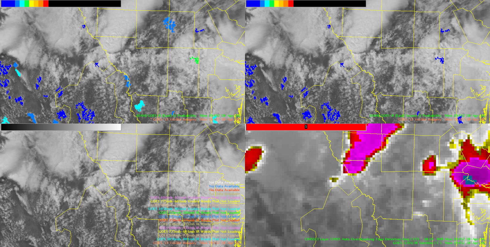
Convective initiation algorithem actually did hint at general region of southern TX for new storm development over 1-hr in advance of new storms forming. Once storms form, is there something that could be displayed to show that the CI algorithem is no longer tracking the area?
torman1
Additional severe thunderstorm warning issued for flanking line developing SW of initial storm in Northern Webb county, TX. Large hail is again quite probable, with deep, tall core through the mid-levels.
Interestingly, severe CI has seemingly remained fairly low with this storm, while ProbSevere has elevated values.