
Have a strong gradient of temperatures across the region this hour, with upper 50s in the north and mid 80s in our one clear spot in the southeast forecast area.
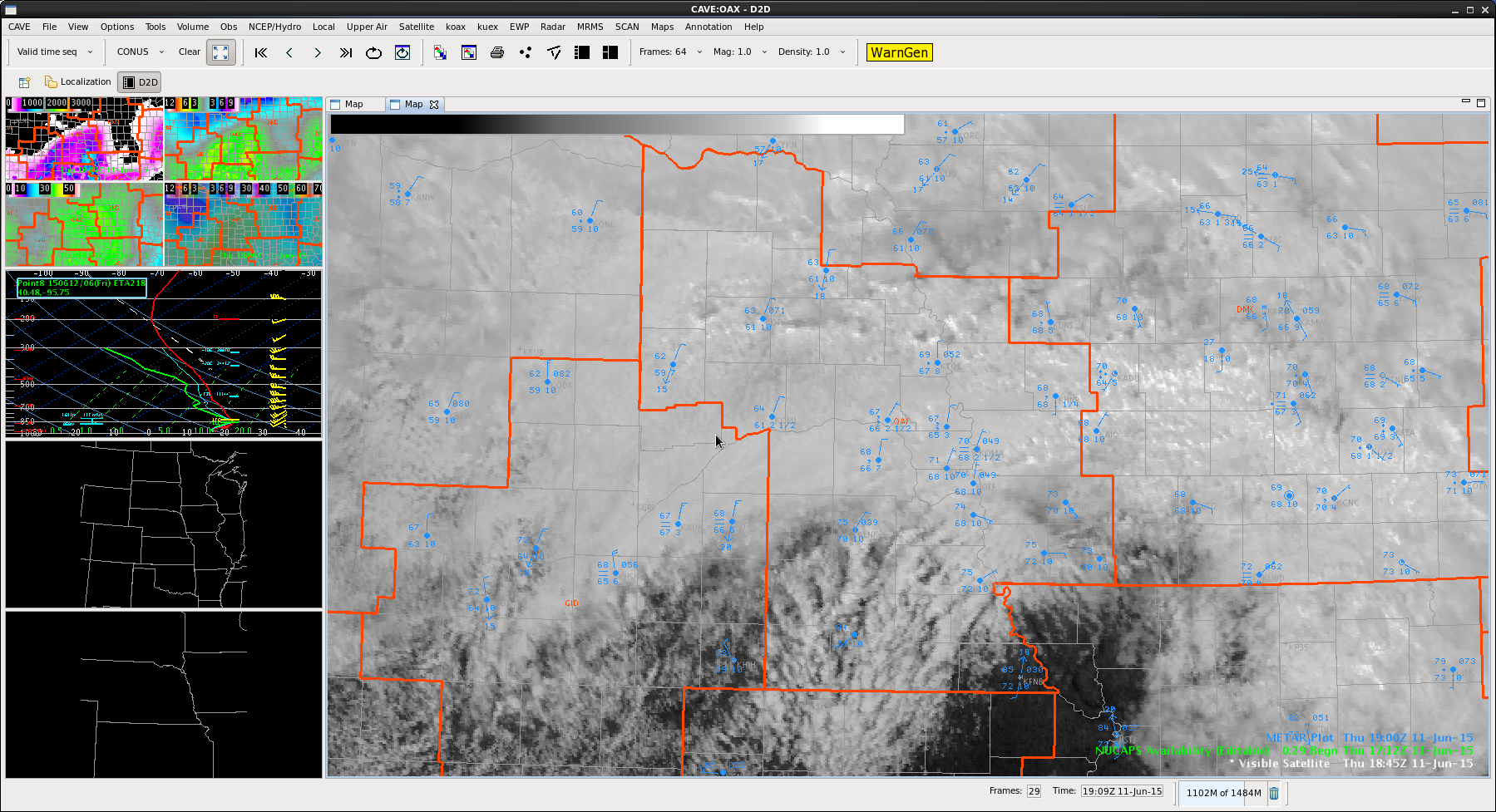
Surface low is to the southwest with a frontal boundary extending northeast into our southern CWA. Quite a bit of shear aloft, with SRH from the SPC mesoanalysis in the 200-300 range across the south, higher in the southeast and 0-1 km bulk shear 10 in the west and 25 in the east. These would lead to potential for supercells to develop in the warmer air, and perhaps allow for tornado development close to the frontal boundary.
LAP sounder data is not too high for TT, with CAPE and LI more indicative of storm potential in the south and southeast. Have a PW gradient with higher values to the east.

