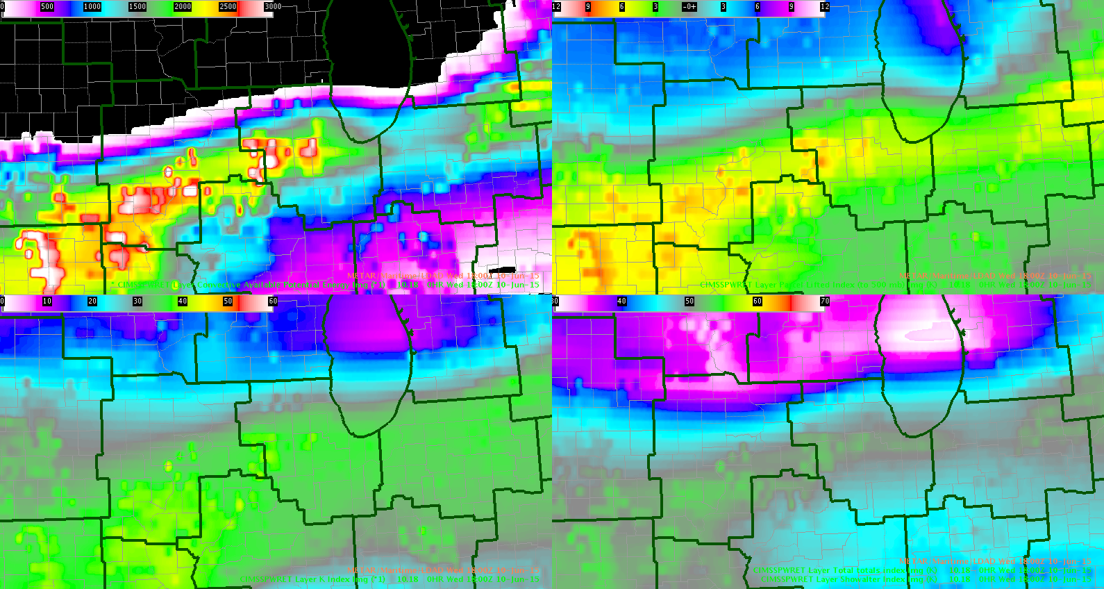
Boundary positioned today over LOT CWA. Small amount of CIN remaining but Convective temps are expected to be reached shortly across much of the area. Goes_R parameters are showing CAPES in excess of 3000 across the western portions of the CWA. These 18Z values are showing somewhat less than what we are currently seeing on the SPC Meso-analysis, but this may be due to the sharp increase in capes over the last several hours over 2000 increase in some areas. Other indicies (LI, TT and showalter) are all sufficient to support severe weather…effective bulk shear is also about 25-30KT. Given the instability and shear the main threats will be for damaging winds and hail.
Inthecards/wacha

