
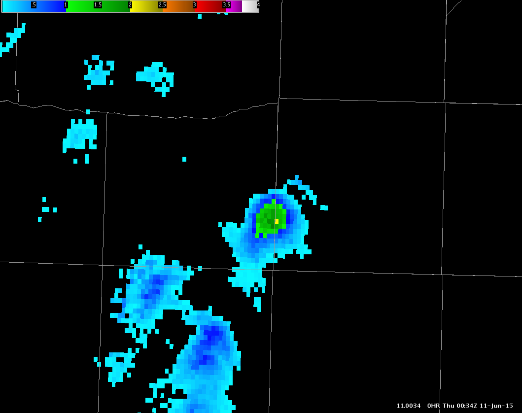
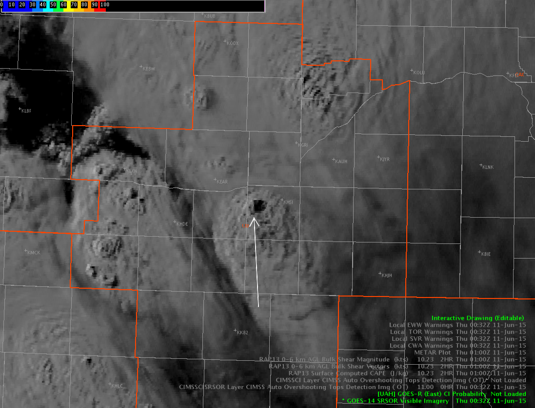
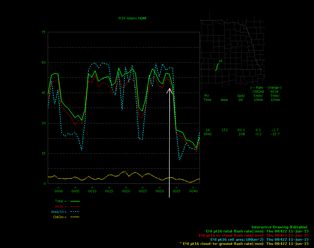
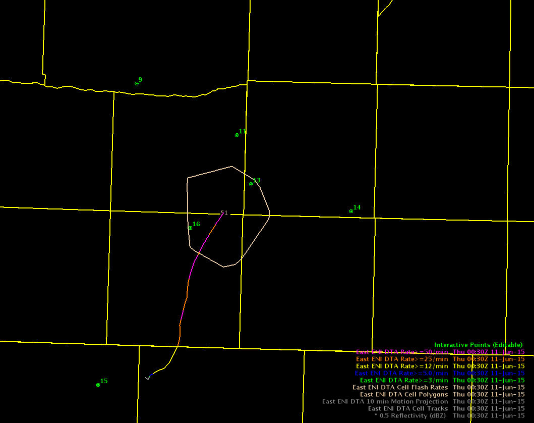
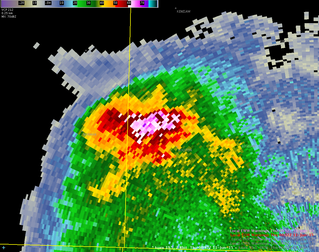
Just after 7pm a monster storm developed southwest of Hastings, NE. At 732pm the storm intensified to near 70 dbz up to 32kft! The MESH product showed just over 2″ hail and the RSO showed nice bubbling of the overshooting top on visible satellite. This was definitely picked up by the overshooting top algorithm. Ironically, the lightning was never really all that impressive, but did hold steady. The lightning level really dropped by the time the maximum storm strength was reached.
-Shasta