From the 19 UTC 8 June 2015 SPC mesoanalyses the 0-6km bulk effective shear was near 30 kts. 0-3km is nearly the same. Strong surface heating east of the mountains yielding temps of 85-90F and dew points around 70F is contributing MLCAPE across western MD 1500-2000 J/kg. Some CIN 50-100 J/kg over eastern part of the CWA into DE. GOES-R LAP CAPE is lagging SPC mesoanalyses by about 30 minutes or so (18Z is actually about valid 1830Z). The GOES-R lap values of CAPE are much less than the SPC with most of the CWA only in the hundreds of J/kg with a small area of 1000 J/kg in VA. GOES-R LAP PW values 1.5 to 1.7 on average which is slightly higher (0.1) but close to the SPC mesoanalyses.
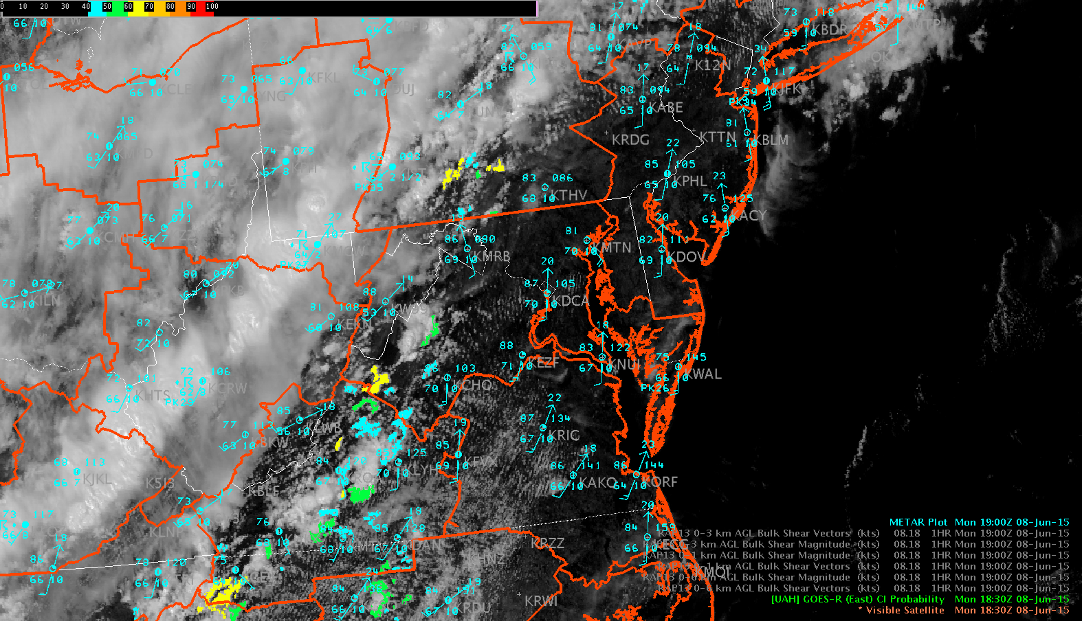
Watching convection develop over western part of CWA in Madison, Rappahannock and Greene counties of VA where surface analysis shows a lee troffing. HRRR shows this area developing into a broken line of convection moving into the DCA/BWI area between 20 and 21 UTC followed by another line or two. The image below shows the visible satellite imagery and GOES-R Convective Initiation product indicating 50 to 60% with the convection developing along the edge of the Blue Ridge. MrSnow/Wacha.