

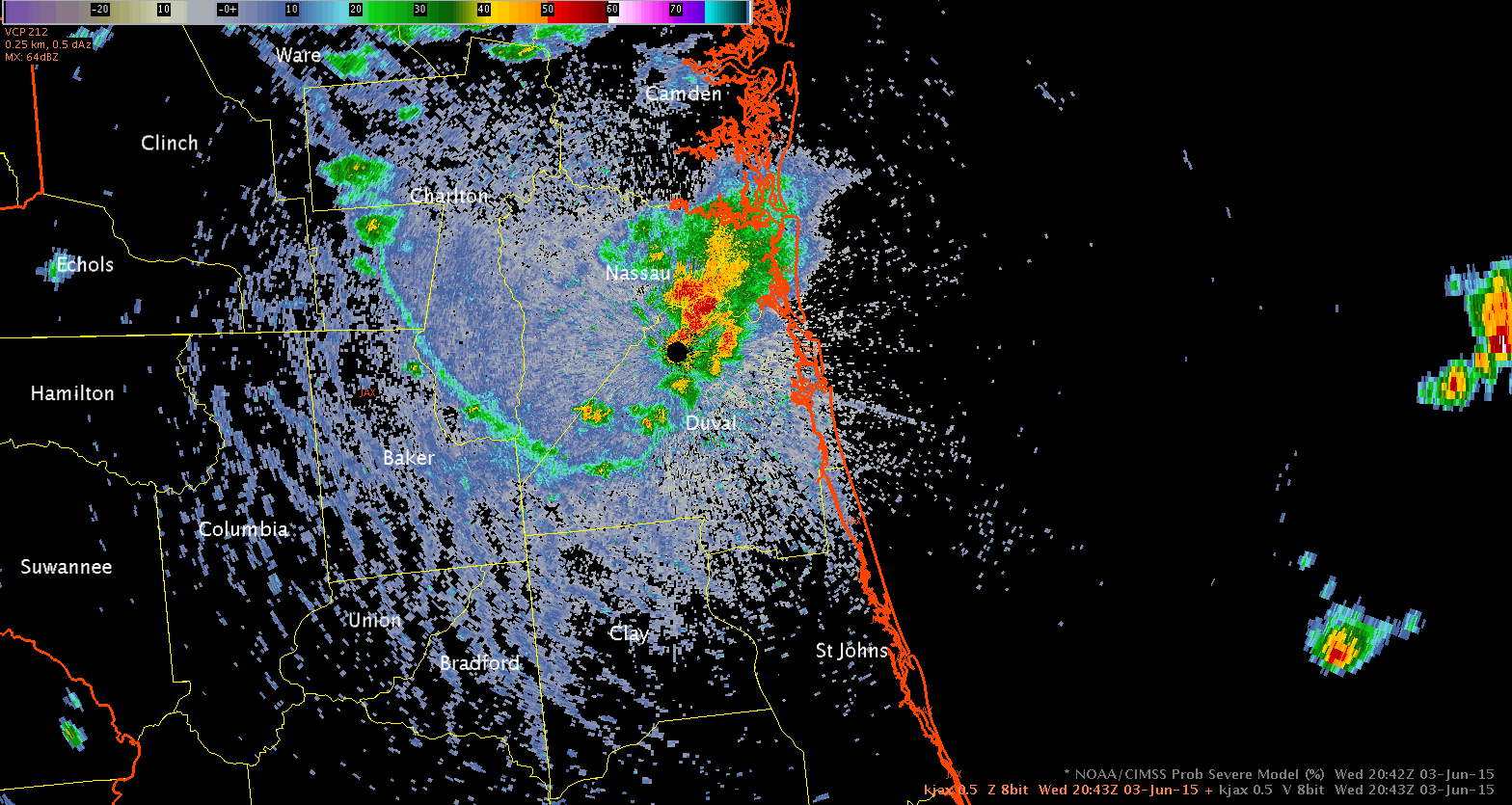
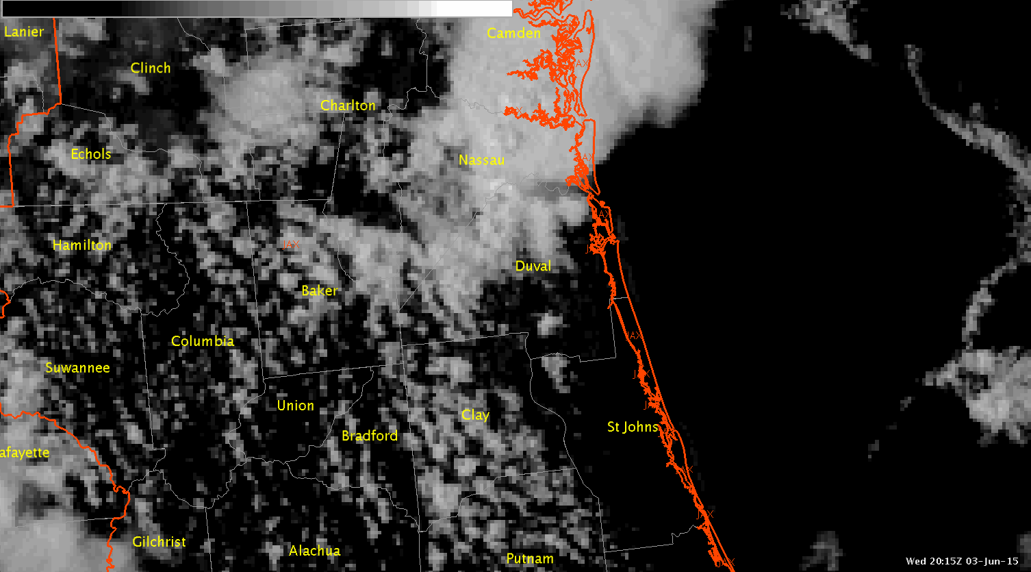
This is a case where having the 1-min satellite imagery would have been beneficial, but unfortunately it was unavailable in the Jacksonville FA. The radar reflectivity loop shows how convection developed along the outflow boundary in southwestern Duval County. Looking at the visible satellite imagery that was available, I really couldn’t gather much information because of the large time gaps. The gaps between satellite images were even larger than the normal 15 minutes in this case due to a problem with AWIPS2. If I had the 1 minute imagery, I probably would have been able to see the growing cumulus and would have better anticipated the cell that developed over southwestern Duval County.
 (Click image to see animation)
 (Click image to see animation)
-Helen Hunt