

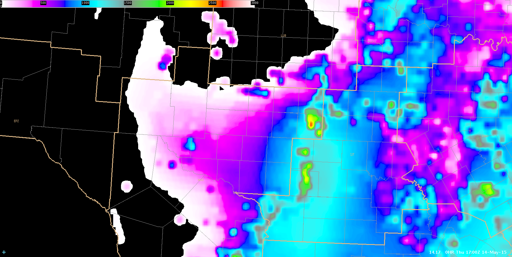
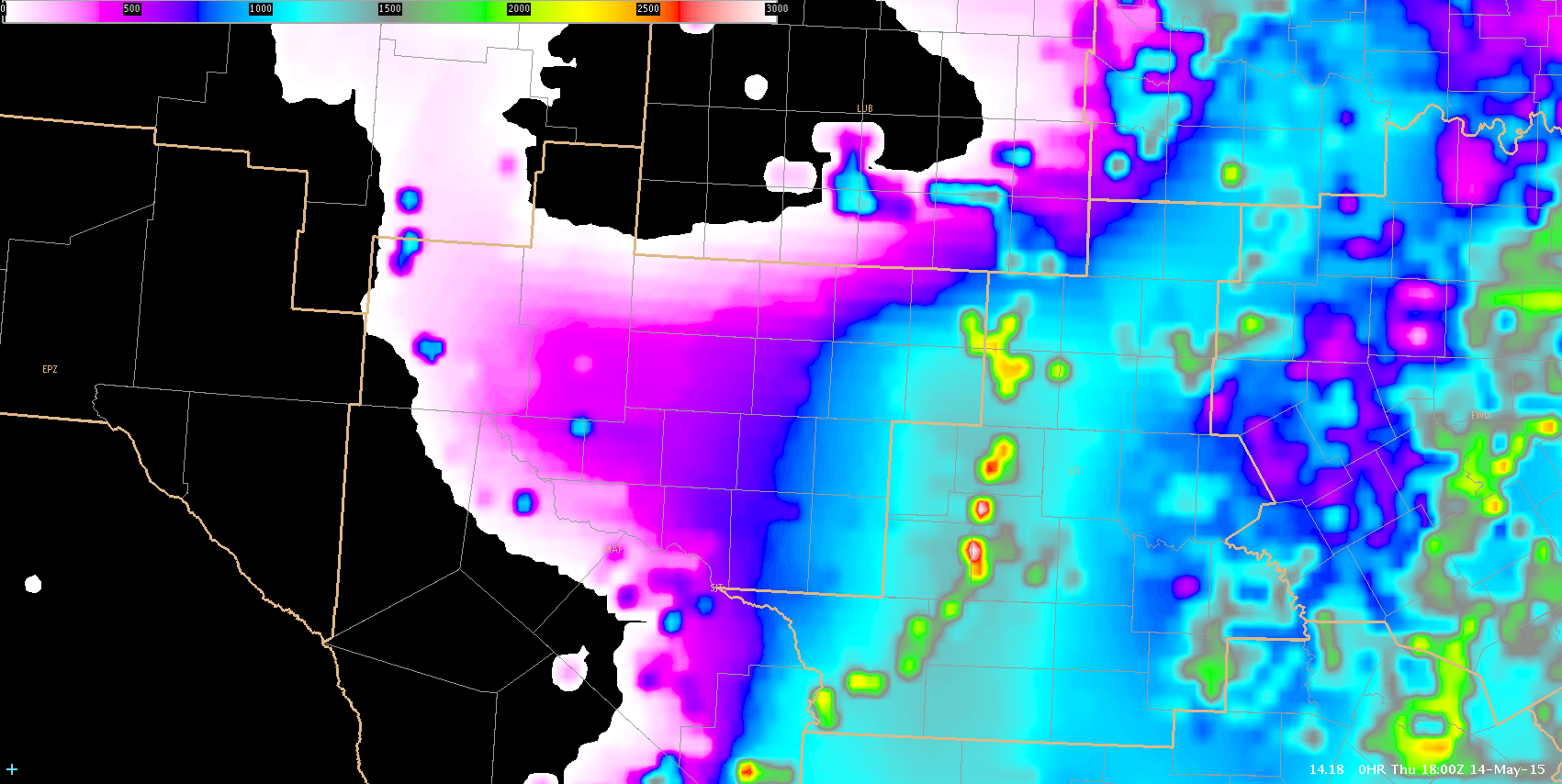
A few interesting features setting up today in the MAF CWA. Initial CAPE values and moisture are increasing/advecting in from the S-SW from 17-18z. CAPE is also showing some “bulls-eye” like features in SJT’s area which is probably not correct but still gives us an idea for a focus of convection. It is not clearing out well with a thin layer of cirrus. Even then we are starting to destabilize. There is a dry line sitting N-S and stretching through SW Texas with dewpoints to the east in the mid 60s and in the mid 30s to the west. The shortwave aloft is still back in eastern Arizona which is where the upper support is going to come from. I think it is going to be a race between the dry line pushing through and the upper shortwave moving in. Model guidance has the line/instability pushing quickly east so if we don’t initiate in the next few hours it may end up too dry for anything to pop. There is good deep layer cape/shear so if we can start to initiate the storms will likely be strong. As of 1850z, there are a few showers showing up in the NM counties so we will see how those evolve.
17z CAPE
18z CAPE increasing
17z PW

18z PW

Lauren13/Polarimetric Researcher